50 States, 50 Places & 50 Stories
For every state, we picked one public place (a state park, university land, a historic site or a school-trust tract) and traced its story the same way we trace yours: the land before the survey, the first owners and the paper trail, the school-trust connection, and the records that still survive.
Each place was chosen because its records show something special about how land in that state began. Every place features historical topographic surveys, aerial photography, lidar elevation mapping, and landscape imagery. All of them are public land, so no private owner is named. 50 of 50 reports are ready to read. Consult the Original 50 Picks Archive for the initial working candidate list.
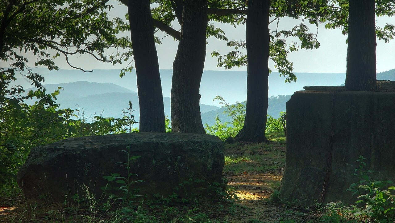 AlabamadmtilleyAlabama
Monte Sano State Park & Hurricane Valley Bench
Madison Co. · T3S, R1E, Secs. 16, 20 & 21, Huntsville Meridian
Surveyed in 1807–1809 on the Deep South's oldest PLSS grid, pairing a Mississippi Territory cash entry, karst springs, and an 1880s mountaintop hotel/railroad partition next to a Section 16 school tract.
Read the Alabama report → AlaskaWillis T. GeismanAlaska
Rebarchek Colony Farm (1935 Matanuska Tract #52)
Matanuska-Susitna Borough · T17N, R2E, Sec. 4 (adjoining Sec. 16 trust land), Seward Meridian
A preserved 1935 New Deal lottery homestead (drawn by colonist Raymond Rebarchek) at the foot of Bodenburg Butte, showing 20th-century federal colonization and Alaska's school/mental-health trust redesign.
Read the Alaska report →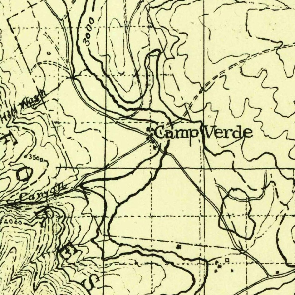 ArizonaU.S. Geological SurveyArizona
Fort Verde & Montezuma Well Pioneer Ditch Edge
Yavapai Co. · T14N/T15N, R5E, Secs. 31 & 36, Gila & Salt River Meridian
Combines an 1870s homestead/military reserve watered by a pioneer irrigation ditch (following prehistoric Sinagua canals) directly abutting an active Section 36 in Arizona's 4-section (2, 16, 32, 36) trust grid.
Read the Arizona report → ArkansasBrandonrushArkansas
Louisiana Purchase Initial Point & 1812 Bounty / Swamp Tract
Monroe / Lee / Phillips Co. · T1S, R1W & R1E, Secs. 1 & 16, 5th Principal Meridian
Sits at the 1815 baseline intersection where the Fifth Principal Meridian began, pairing a War of 1812 Military Bounty lottery patent with an 1850 Swamp Land state patent and 1930s tax-forfeiture redemption.
Read the Arkansas report →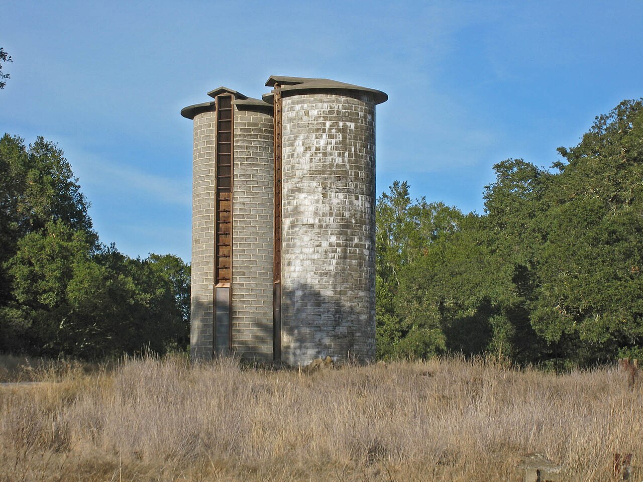 CaliforniaRichard WoodCalifornia
Jack London State Historic Park (Rancho / PLSS Collision)
Sonoma Co. · T6N, R6W, Secs. 15, 16, 21 & 22, Mount Diablo Meridian
Straddles the boundary where Mexican Rancho Mallacomes / Los Guilicos collided with the PLSS grid and preempted Section 16 (forcing state lieu selections), with 1850s water rights and multi-parcel ranch assembly.
Read the California report →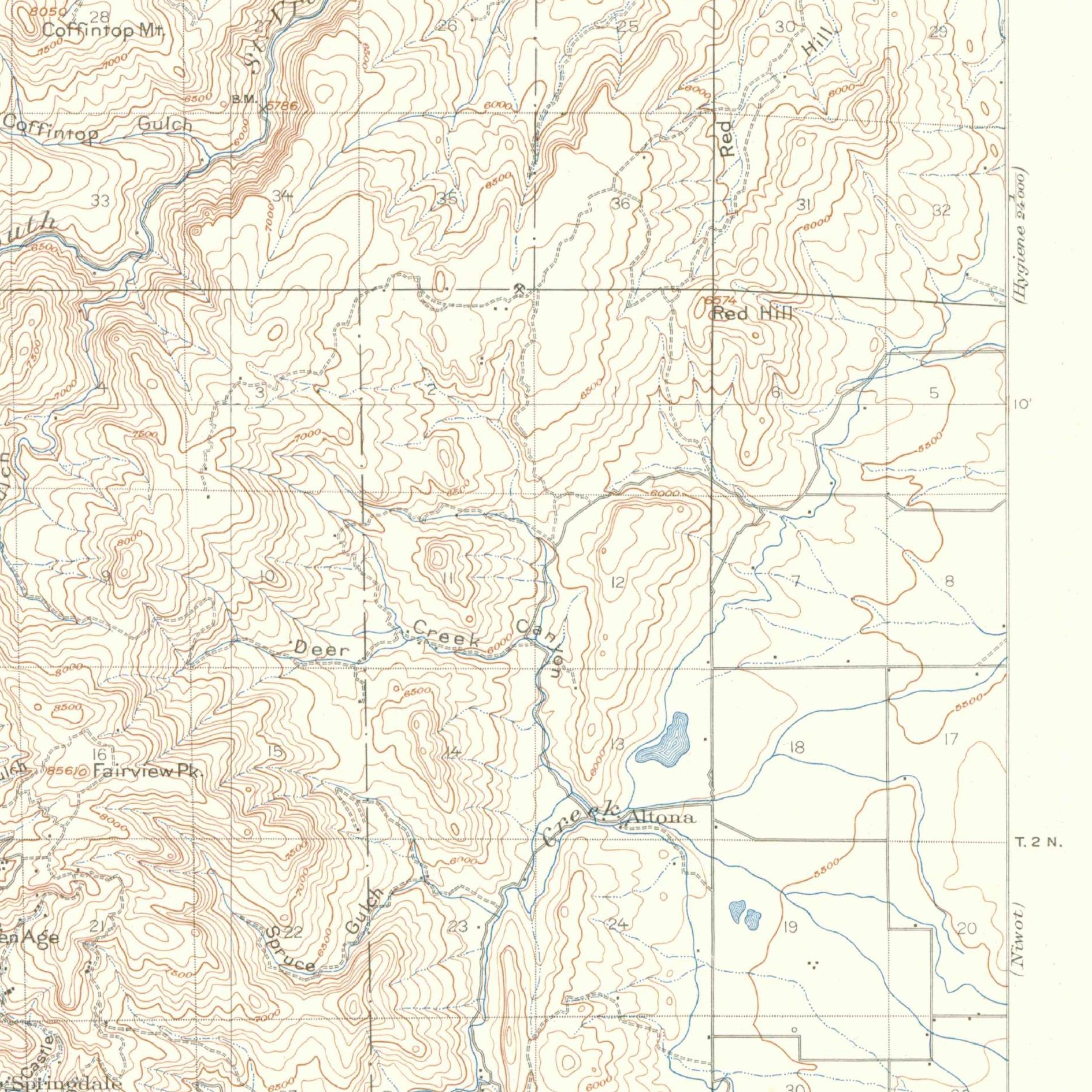 ColoradoU.S. Geological SurveyColorado
Walker / Heil Valley Ranch Open Space & Left Hand Ditch Tract
Boulder Co. · T2N, R70W / R71W, Secs. 16 & 21, 6th Principal Meridian
Public open-space ranch on the Dakota Hogback pairing an 1860s homestead and an adjudicated "Colorado Doctrine" water-court ditch decree with a Colorado State Land Board Section 16 holding reserved minerals.
Read the Colorado report →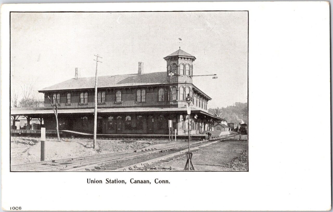 ConnecticutUnknown authorUnknown authorConnecticut
Beckley Furnace & Mount Riga Iron/Charcoal Proprietors' Tract
Litchfield Co. (Towns of North Canaan & Salisbury) · 1730s Town Proprietors' Pitches
An 18th-century Town Proprietors' iron-furnace and waterpower parcel dotted with lidar-visible charcoal hearths, linked to the 1795 Connecticut School Fund (endowed by selling Ohio's Western Reserve).
Read the Connecticut report →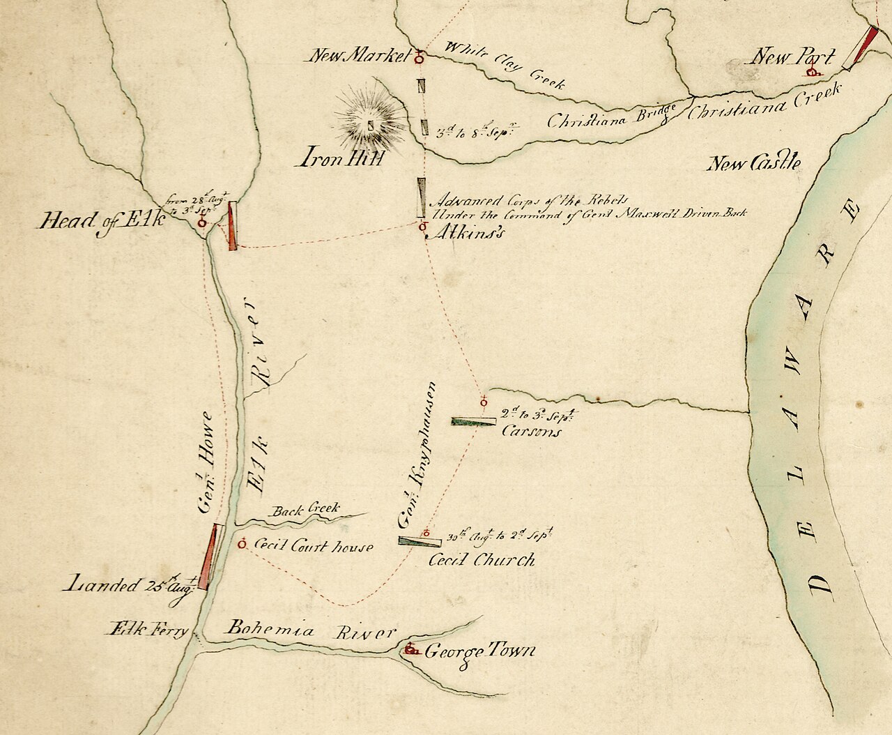 DelawareJohn MontresorDelaware
Cooch's Bridge State Historic Site & 1746 Mill Tract
New Castle Co. (Pencader & Mill Creek Hundreds) · 1680s–1740s Penn Proprietary Warrants
Recently expanded State Historic Site in a named Anglo-Saxon "Hundred," tracing a Duke of York / William Penn warrant, a 1746 mill race, 19th-century iron pits on lidar, and the 1796 Delaware School Fund.
Read the Delaware report → FloridaState Library and Archives of FloridaFlorida
Marjorie Kinnan Rawlings State Park (Arredondo Grant Edge)
Alachua Co. · T11S, R21E, Secs. 6 & 16 / Spanish Arredondo Grant, Tallahassee Meridian
Sits on the line where the 1817 Spanish Arredondo Grant and the 1842 Armed Occupation Act (forerunner of the Homestead Act) collide with the Tallahassee Meridian and displace Section 16 school land.
Read the Florida report →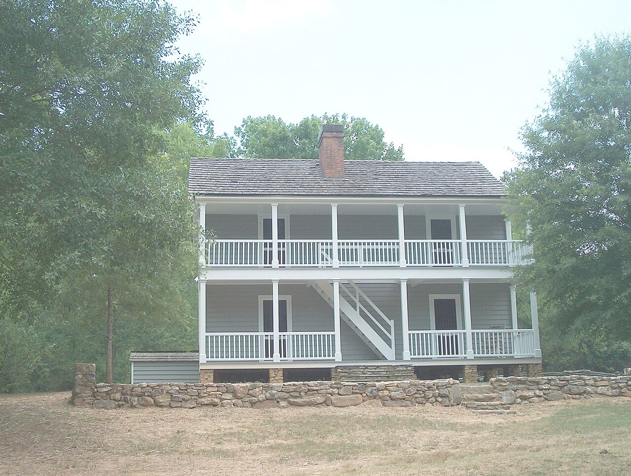 GeorgiaCculber007 at English WikipediaGeorgia
New Echota State Historic Site (1832 Cherokee Land Lottery)
Gordon Co. (orig. Cherokee Co.) · 14th District, 3rd Section, 160-Ac Lottery Lots 147 & 148
Surveyed on Georgia's state-built rectangular Land Lottery grid over the Cherokee Nation capital, pairing wax-seal lottery grants and 1836 Cherokee property valuations with the 1783/1817 Academy & Poor School Funds.
Read the Georgia report →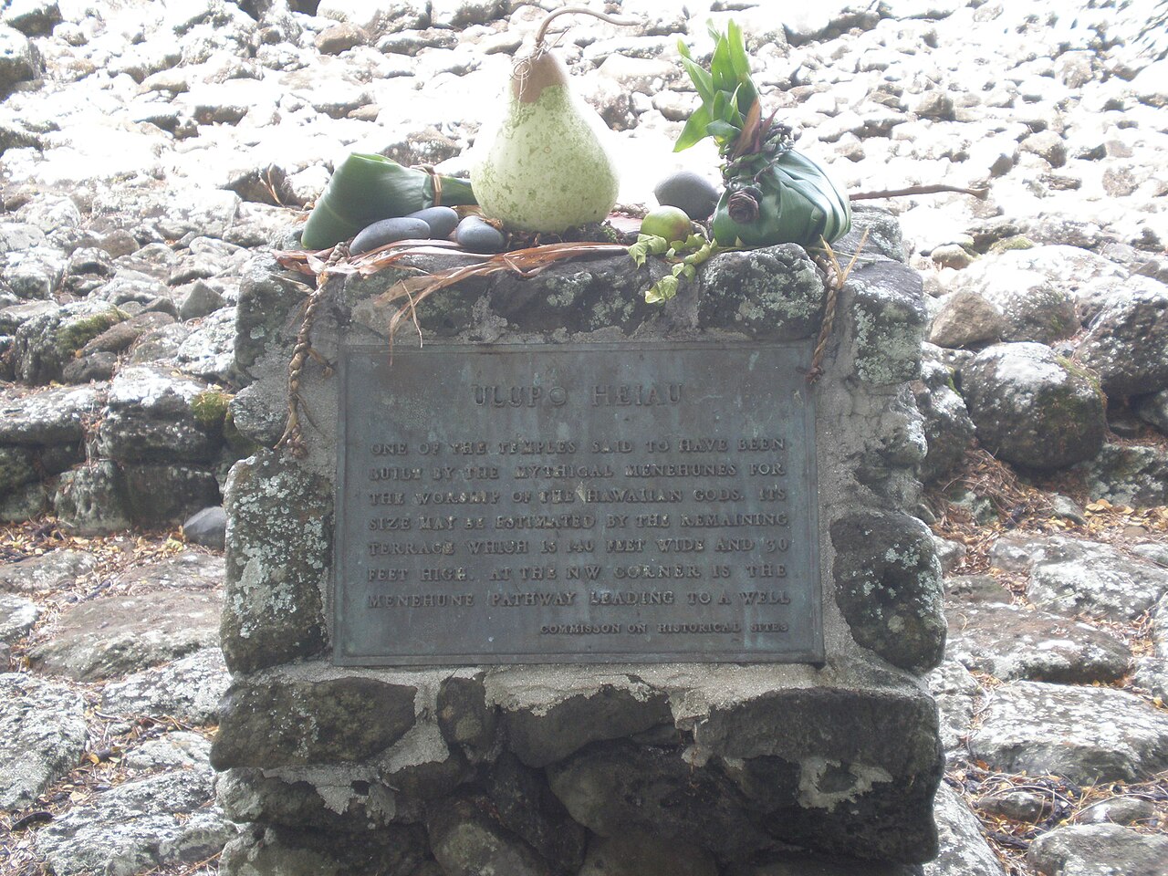 HawaiiJoel BradshawHawaii
Ulupō Heiau & Kawainui Loʻi Kalo (Ahupuaʻa of Kailua)
Honolulu Co. (Oahu) · TMK 1-4-2-003 / Ahupuaʻa of Kailua, Koʻolaupoko District
Public state historic site leased to Hawaiian stewards, combining an 1848 Great Māhele Crown/Government parcel (§ 5(f) Ceded Lands trust) with embedded 1850 commoner Kuleana LCAs and active ʻauwai taro ditches.
Read the Hawaii report →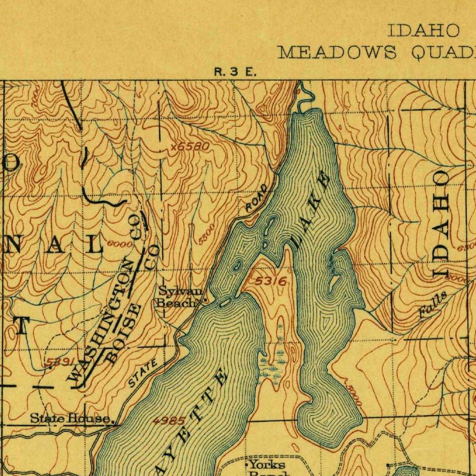 IdahoU.S. Geological SurveyIdaho
Payette Lake School Endowment Section 16
Valley Co. · T19N, R3E, Sec. 16, Boise Meridian (IDL Parcel PN19226, 642.64 ac)
Statehood school section at a resort lake tracing a century of cottage-site leases and lot auctions, a 2020 private development bid, and a live 2026 proposal to trade ~15,700 trust acres to the U.S. Forest Service.
Read the Idaho report →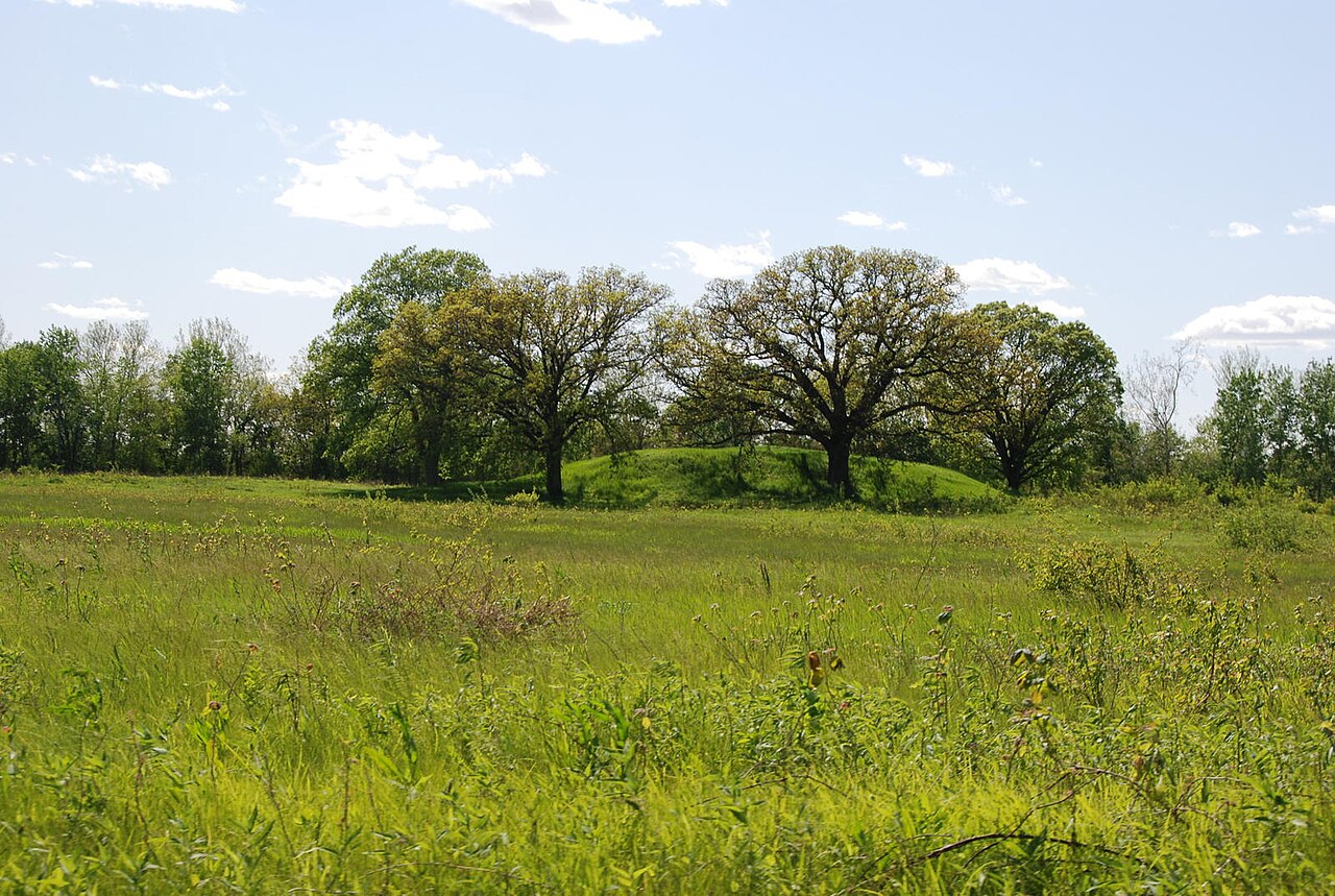 IllinoisMattHuckeIllinois
Dickson Mounds State Museum & Military Tract Bluff
Fulton Co. · T4N, R3E, Secs. 1, 12 & 16, 4th Principal Meridian
Inside the 1817 War of 1812 Military Bounty Tract, pairing a lottery veteran patent, an 1830s Patent-vs.-Tax-Title clash, Illinois River drainage district records, and itemized 1830s Section 16 school woodlot sales.
Read the Illinois report → IndianaNeantvideIndiana
Vincennes University Commons & French Donation Collision
Knox Co. · T3N, R10W, 2nd Principal Meridian / 1788 Vincennes French Donation Survey
Where 45-degree Continental Congress French Donation Tracts and arpents slice across the 2nd Principal Meridian and Section 16, paired with the 1852 U.S. Supreme Court Vincennes University land-trust case.
Read the Indiana report → IowaDirk DBQIowa
Mines of Spain State Recreation Area (Dubuque Lead Bluffs)
Dubuque Co. · T88N, R3E, Secs. 5, 6, 8 & 16, 5th Principal Meridian
Spans Julien Dubuque's 1788 Meskwaki/Spanish lead claim (Chouteau v. Molony, 1853), 1830s federal War Dept. mineral leases, 1846 preemption patents, lidar lead pits, and the adjoining 1846 Section 16 school tract.
Read the Iowa report →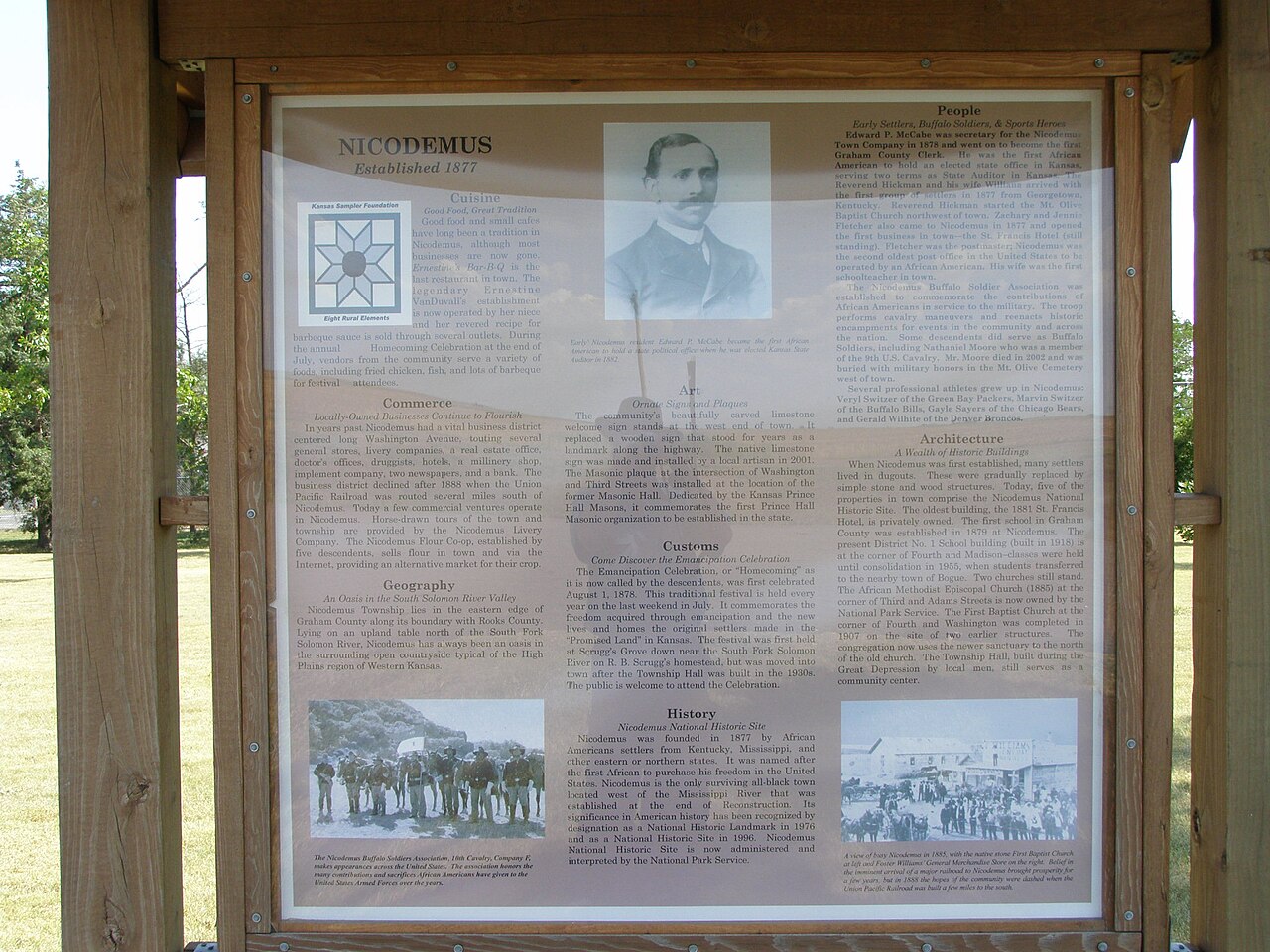 KansasChris LightKansas
Nicodemus National Historic Site & Exoduster Homestead
Graham Co. · T8S, R21W, Secs. 1 & 16, 6th Principal Meridian
Founded in 1877 by Formerly Enslaved "Exodusters" from Kentucky, pairing digitized sod-house Homestead proof files and split-estate oil/gas mineral records with the township's 1861 Section 16 school tract.
Read the Kansas report →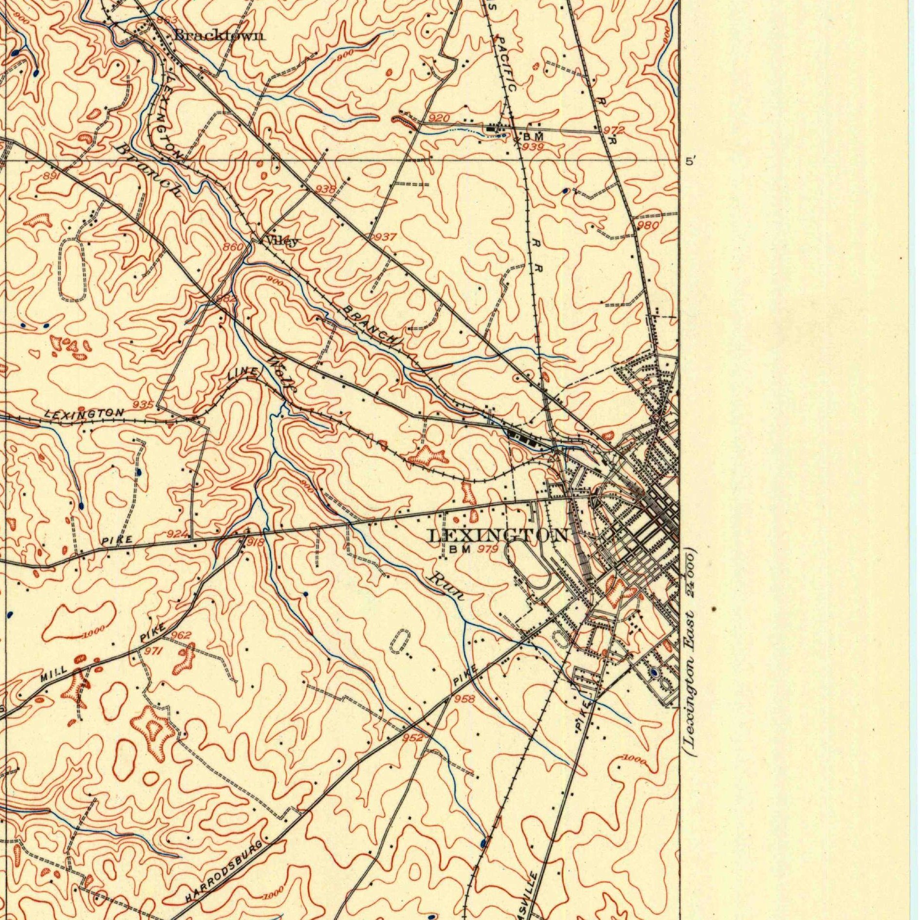 KentuckyU.S. Geological SurveyKentucky
McConnell Springs Historic Park (1779 Virginia Settlement)
Fayette Co. · Inner Bluegrass (1779 VA Land Commission Settlement & Preemption Tract)
Public karst-spring park on the 1775 campsite where Lexington was named, illustrating Virginia's 4-step metes-and-bounds system (Warrant $\rightarrow$ Entry $\rightarrow$ Survey $\rightarrow$ Patent), overlapping "shingle" claims, and 1798 Seminary Warrants.
Read the Kentucky report →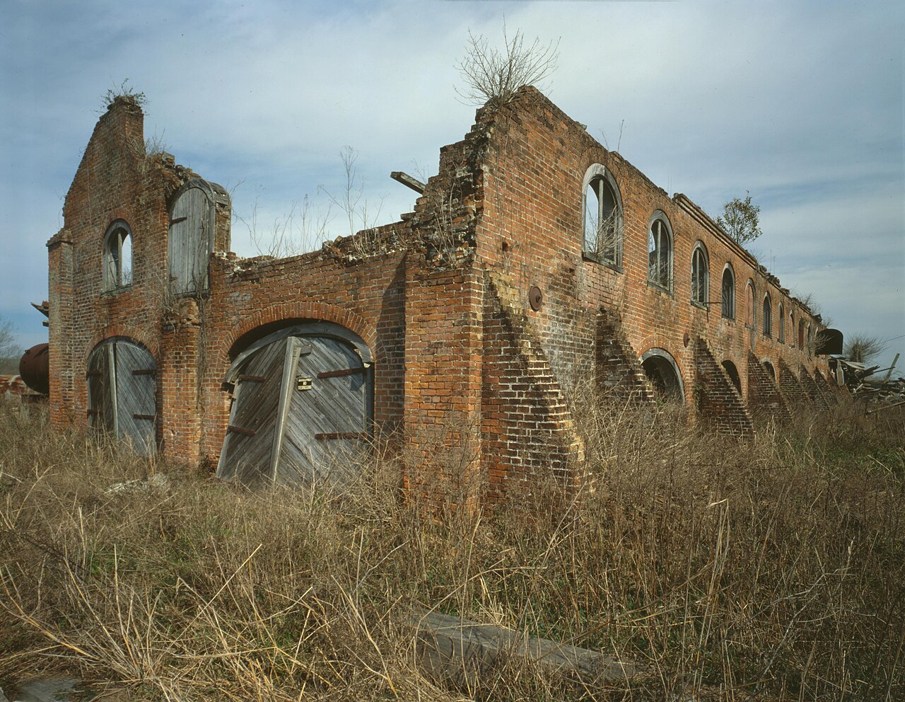 LouisianaJet LoweLouisiana
Laurel Valley Plantation Museum (40-Arpent Ribbon Farm)
Lafourche Parish · T15S, R17E, Claims/Secs. 45–48 (displacing Sec. 16), SE District
A confirmed 18th-century French/Spanish 40-arpent Bayou Lafourche ribbon farm demonstrating Napoleonic Civil Law Successions, 10-year mineral servitude prescription, and displaced Section 16 school indemnity scrip.
Read the Louisiana report →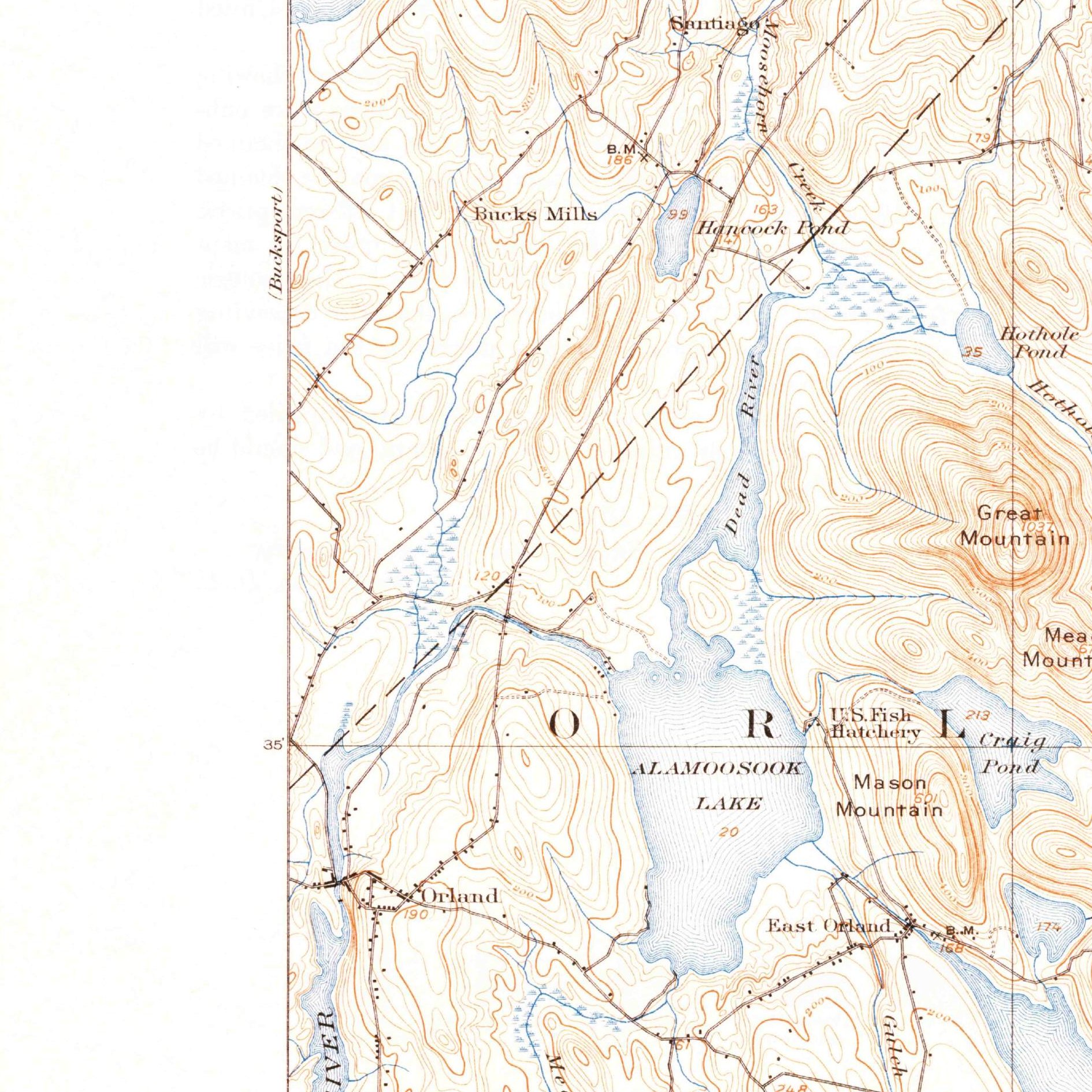 MaineU.S. Geological SurveyMaine
Great Pond Mountain Wildlands & Orland Public Lot Edge
Hancock Co. (Town of Orland) · 1762/1786 Mass. Eastern River Township #2
A 4,500-acre conservation woodlot in a Massachusetts Eastern Lands township where four 320-acre "Public Lots" were reserved for Schools and the Ministry, with 1-meter lidar showing colonial stone walls and mill dams.
Read the Maine report →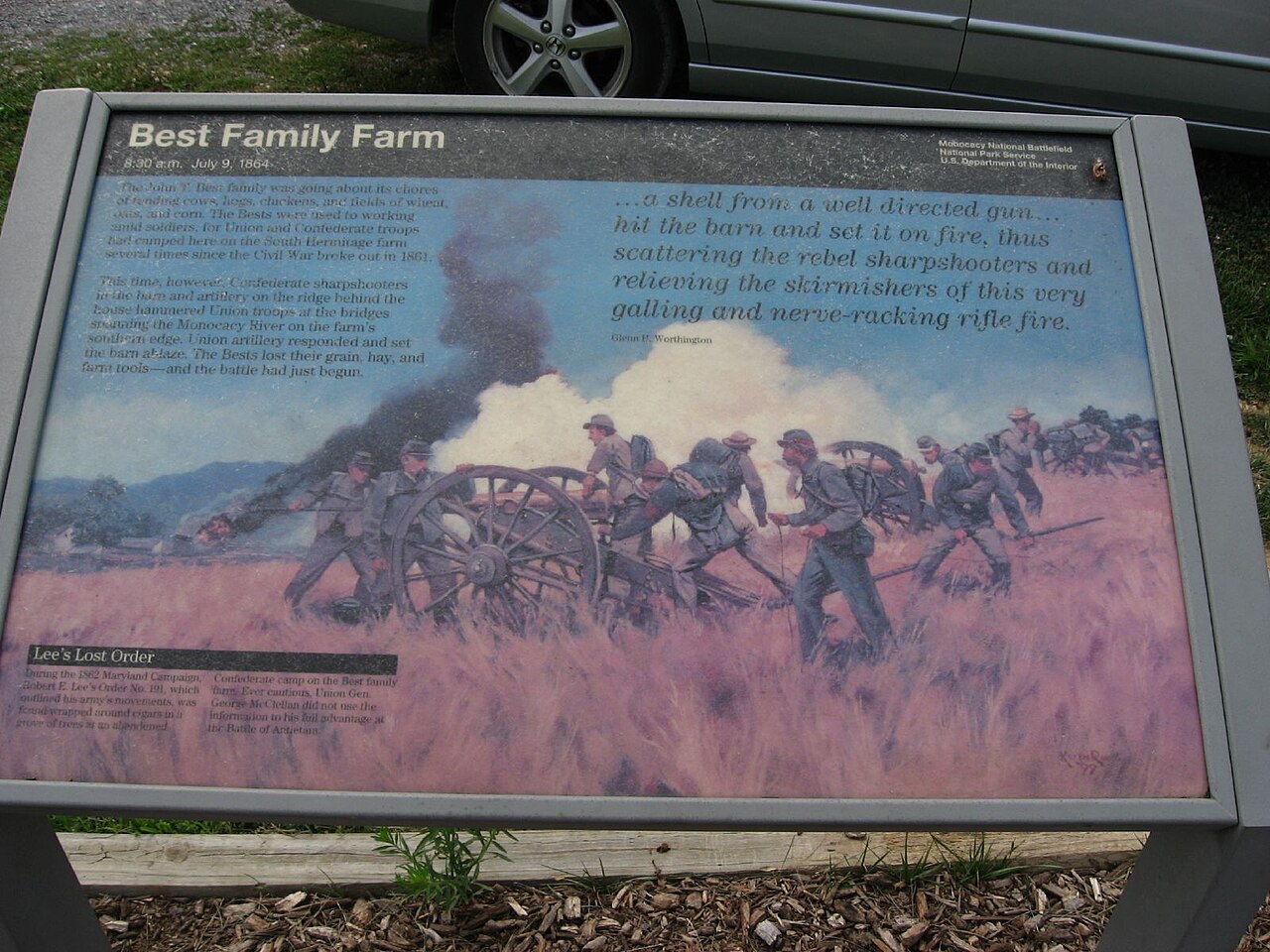 MarylandKen Lund from Las VegasMaryland
Monocacy National Battlefield (Best Farm / Tasker's Chance)
Frederick Co. · 1727/1742 Lord Baltimore Named Patents "Tasker's Chance" & "Brothers Content"
Demonstrates Lord Baltimore's Named Tract & Patent of Resurvey system with 100% free online deeds back to 1748, paired with Maryland's 1723 Free School Act and 1781 creation of the U.S. Public Domain.
Read the Maryland report →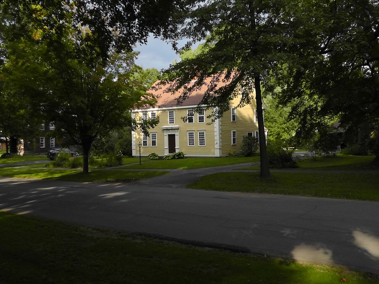 MassachusettsTjitseMassachusetts
Historic Deerfield & Conway Proprietors' School-Share Woodlot
Franklin Co. (Towns of Deerfield & Conway) · 1670s Pocumtuck Deeds & 1760s Proprietors' Lots
Shows the colonial statutory ancestor of Section 16—the 1/63rd Massachusetts Town School Share—alongside an 1898 Massachusetts Land Court (Torrens) registration plan and lidar stone-wall archaeology.
Read the Massachusetts report →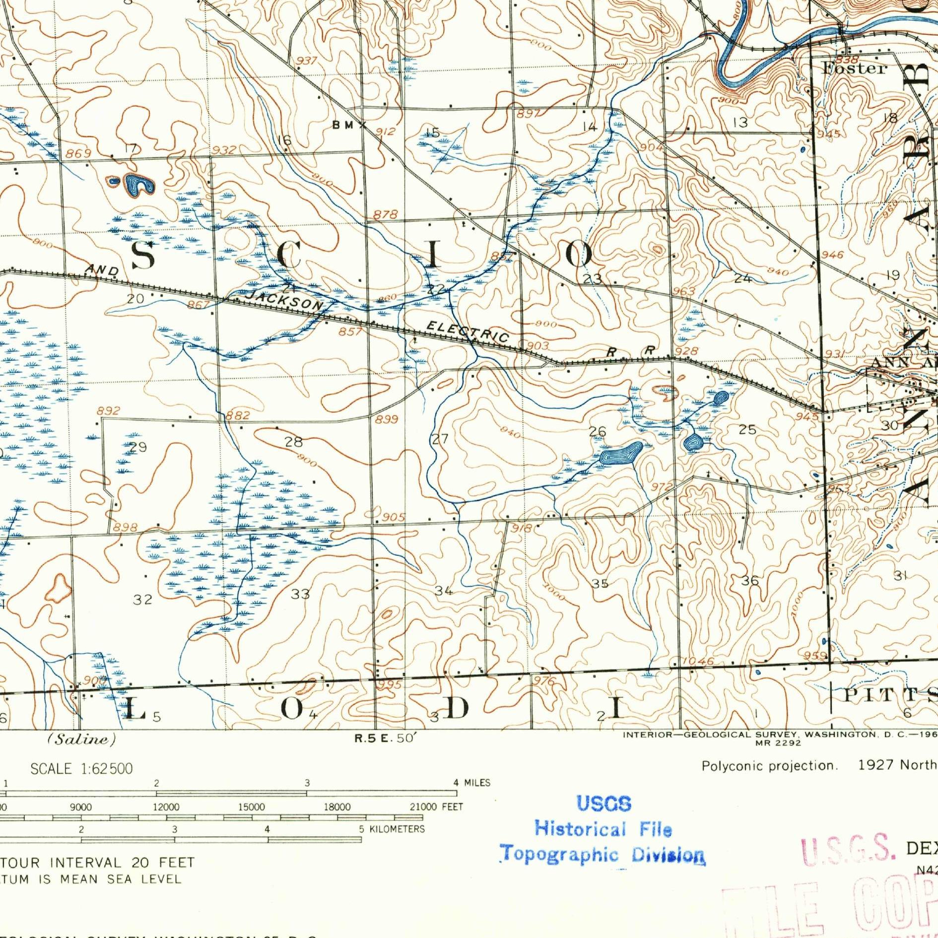 MichiganU.S. Geological SurveyMichigan
U-M Saginaw Forest & Stinchfield Woods (1837 School Fund Edge)
Washtenaw Co. · T2S, R5E, Secs. 16 & 26, Michigan Meridian
Owned by the University of Michigan since 1903, pairing an 1825 Erie Canal boom "Oak Opening" patent and 120 years of tree-planting records with the 1837 Section 16 that launched America's first statewide Primary School Fund.
Read the Michigan report →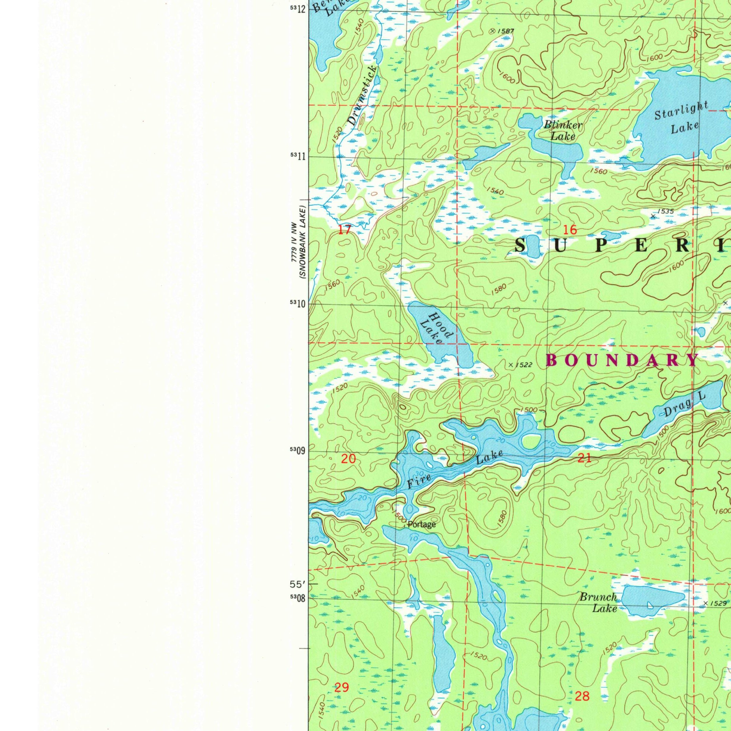 MinnesotaU.S. Geological SurveyMinnesota
Boundary Waters School Trust Section 16 (with Hill Annex Sidebar)
Lake Co. · T64N, R6W, Sec. 16, 4th Principal Meridian (640 ac around Ledge & Bewon Lakes)
Granted in 1858 to fund schools, locked inside the federal BWCAW wilderness in 1978, and now being condemned by Minnesota from its own school trust to sell to the U.S. Forest Service (closing ~2028).
Read the Minnesota report →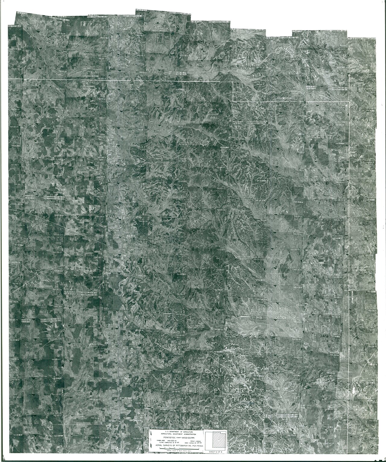 MississippiDepartment of Agriculture. Commodity Stabilization Service. Aerial Photography Field Office. ca. 1953-1961Mississippi
Pontotoc Ridge / Lochinvar Chickasaw Reserve & 16th-Sec. Edge
Pontotoc Co. · T9S, R3E, Secs. 16, 20 & 29, Chickasaw Meridian
Inside the 1832 Treaty of Pontotoc Creek Cession (where the U.S. sold land as trustee for the Chickasaw Nation), pairing a named Chickasaw Reserve patent with the 1836 School Indemnity Act and active 16th-Section school leases.
Read the Mississippi report →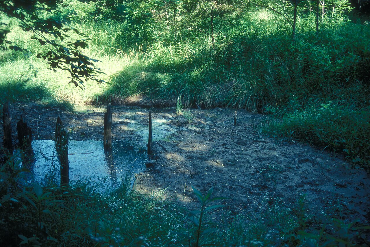 MissouriJERRYE & ROY KLOTZ MDMissouri
Boone's Lick State Historic Site (New Madrid Certificate & Salt Tract)
Howard Co. · T49N, R17W, Spanish Survey # & Sec. 16, 5th Principal Meridian
Pairs Nathan and Daniel M. Boone's 1798 Spanish salt-spring grant with an overlapping 1815 New Madrid Earthquake Disaster Relief Certificate (America's first federal disaster scrip) and an 1820 Section 16 school patent.
Read the Missouri report →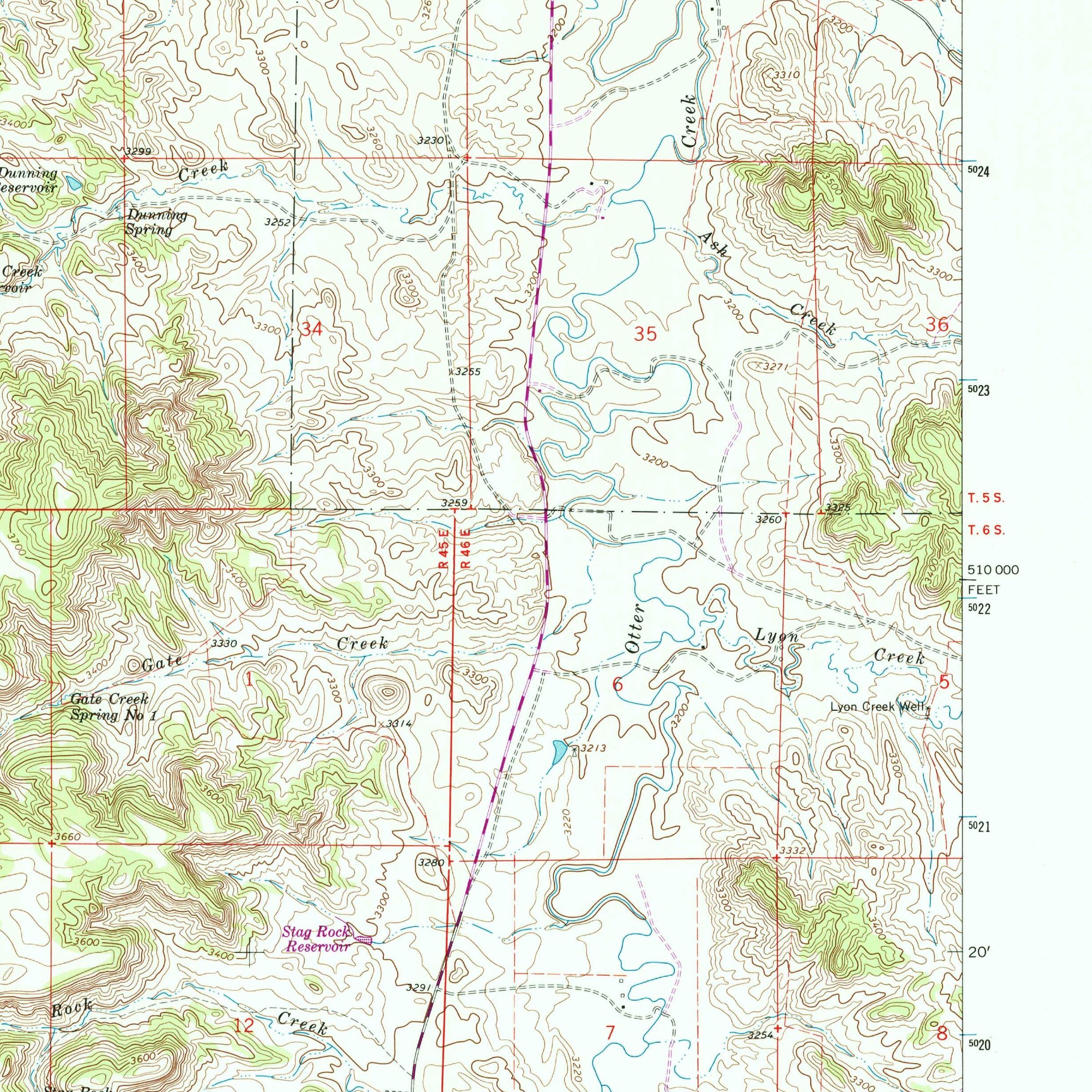 MontanaU.S. Geological SurveyMontana
Otter Creek School Section 16 & Traded Federal Coal Block
Powder River Co. · T4S, R45E, Sec. 16, Principal Meridian Montana (532.7 ac surface + coal)
Surrounded by Northern Pacific RR checkerboard coal swapped to Montana in 1996 to stop the New World Mine near Yellowstone, leased for $86M in 2010, and litigated to the Montana Supreme Court (2012 MT 234).
Read the Montana report →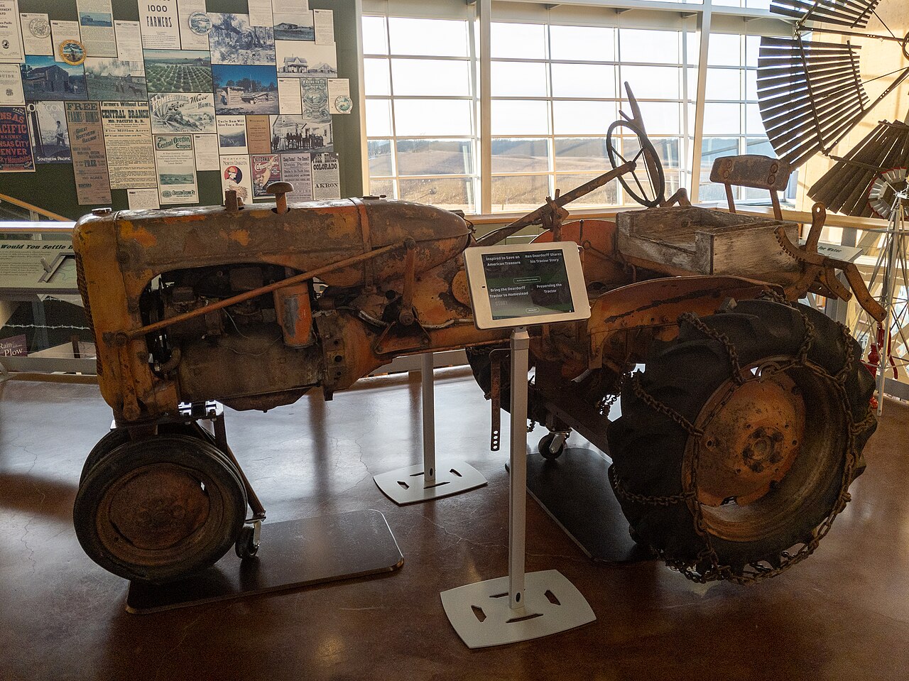 NebraskaRuggyBearLANebraska
Daniel Freeman Homestead No. 1 & Freeman School
Gage Co. · T4N, R5E, Secs. 21, 22, 26, 27 & Sec. 16, 6th Principal Meridian (160 ac)
The nation's "Homestead No. 1" (Jan. 1, 1863—where records reveal an 1862 preemption claim undercutting the midnight legend), site of the 1902 Freeman v. Scheve school Bible case, bordering a township Section 16.
Read the Nebraska report →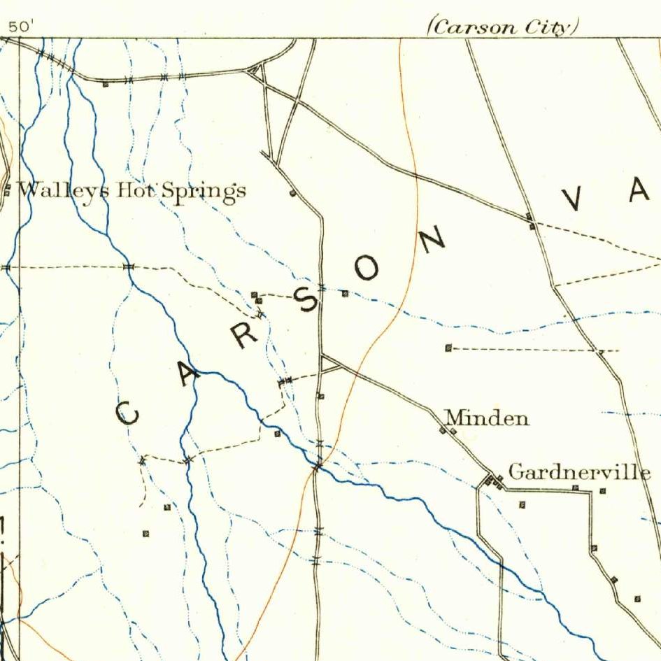 NevadaU.S. Geological SurveyNevada
Dangberg Home Ranch Historic Park & 1880 2M-Acre School Grant
Douglas Co. · T12N/T13N, R20E, Secs. 6, 7 & 16, Mount Diablo Meridian
Public county historic ranch in Carson Valley illustrating Nevada's landmark 1880 Act (trading away waterless Sections 16 & 36 for a Two-Million-Acre selective grant of irrigated meadows) and Alpine Decree water rights.
Read the Nevada report →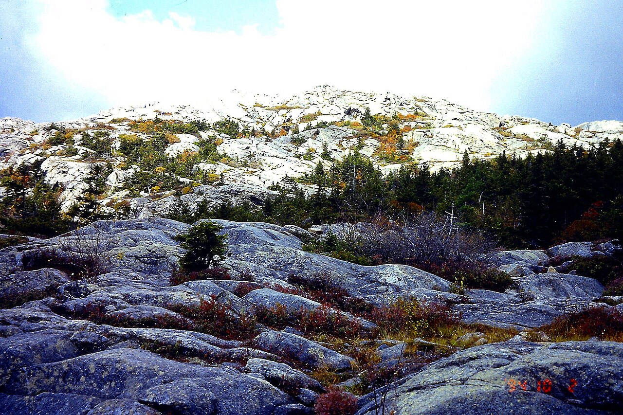 New HampshireKarlununNew Hampshire
Monadnock State Park / Poole Tract (1749 Masonian Grid)
Cheshire Co. (Town of Jaffrey) · 1749 Masonian Proprietors Range-and-Lot Grid (Ranges 6–8)
Surveyed on the private rectangular Range-and-Lot grid of the 1749 Masonian Proprietors (including a reserved Town School Share), with 1-meter lidar revealing dense colonial stone walls across reforested sheep pastures.
Read the New Hampshire report →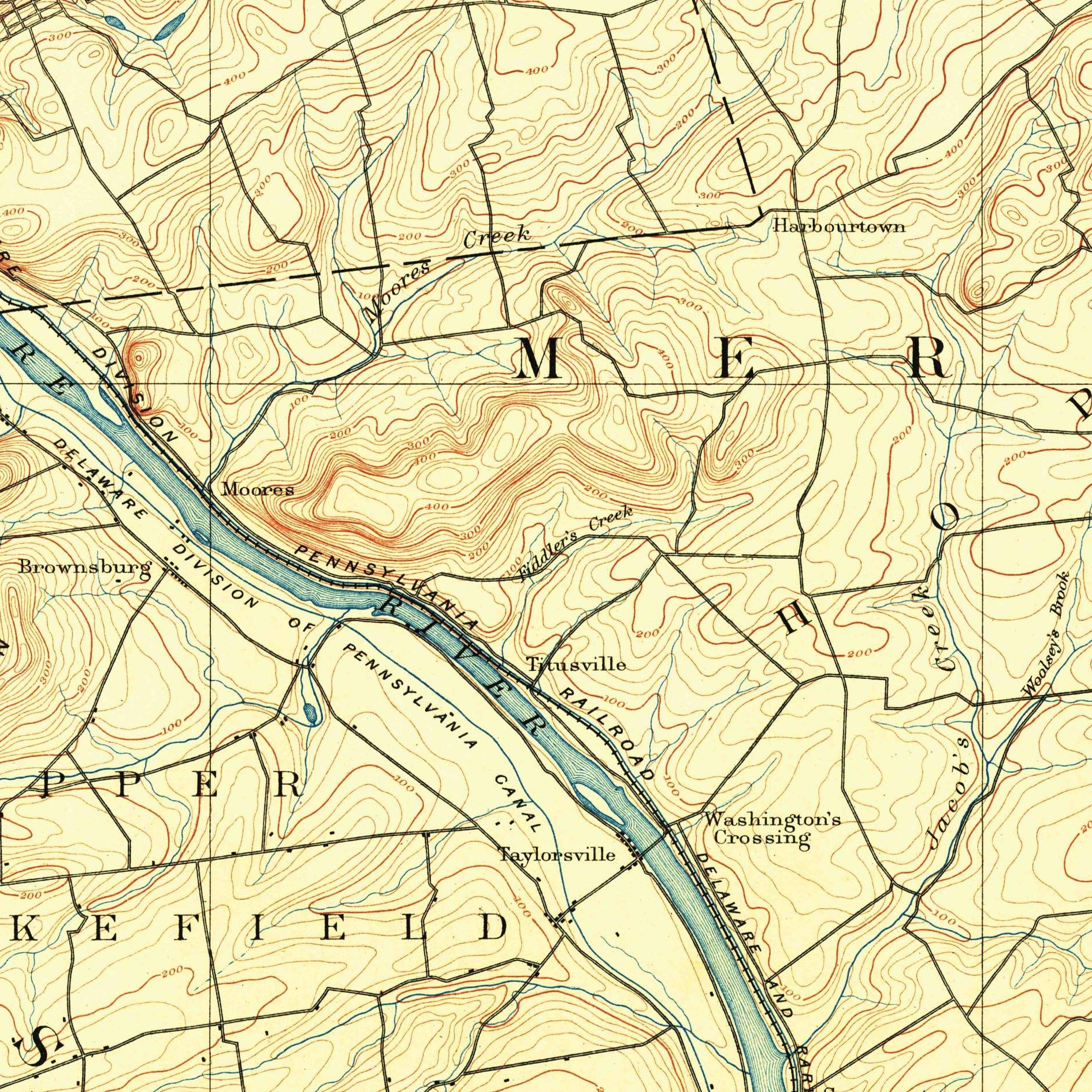 New JerseyU.S. Geological SurveyNew Jersey
Howell Living History Farm & Riparian School-Fund Creek Edge
Mercer / Hunterdon Co. (Hopewell Twp.) · 1700s Council of Proprietors of West NJ Survey
County-owned 1700s West Jersey corporate proprietary farmstead paired with New Jersey's constitutional Riparian Tidelands School Fund Compact (where ancient tidal creeks on a parcel belong to the public school fund).
Read the New Jersey report →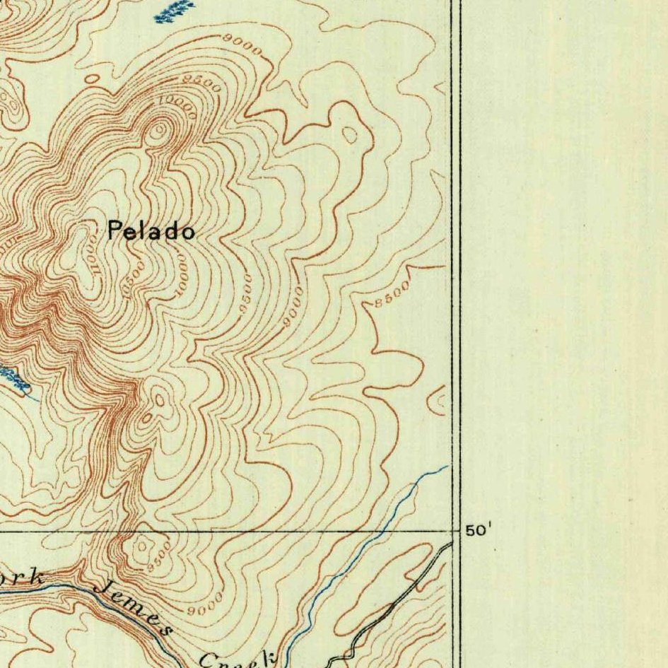 New MexicoU.S. Geological SurveyNew Mexico
Baca Location No. 1 — Valle Grande HQ & Banco Bonito (Valles Caldera)
Sandoval Co. · T19N–20N, R3E–4E, New Mexico Principal Meridian (Baca Float No. 1)
An 1860 Act-of-Congress Mexican grant "float" located over a volcanic caldera, spanning a century of sheep, cattle, logging, and sulfur mining, a 2000 federal purchase, and a 2024 Jemez Pueblo settlement.
Read the New Mexico report →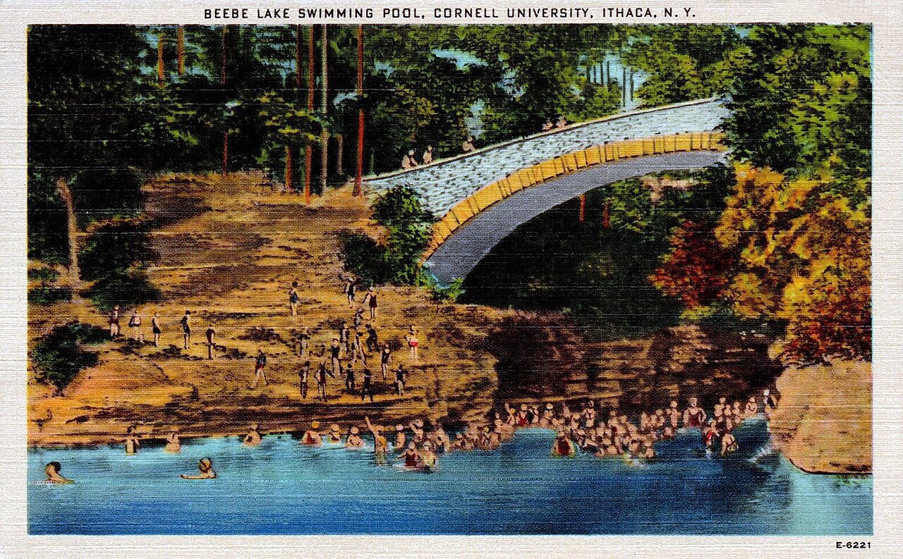 New YorkWilliam Jubb Co.New York
Cornell Fall Creek / Botanic Gardens (1790 Military Lot & Morrill Hub)
Tompkins Co. (Town of Ithaca / Dryden) · 1790 NY New Military Tract, 600-Ac Lot & Gospel/School Lot
Sits in New York's state-surveyed 100-lot Classical Military Townships (which reserved a 600-acre "Gospel and School Lot" per town) and serves as the home base of Ezra Cornell's 990,000-acre 1862 Morrill Act scrip empire.
Read the New York report → North CarolinaLarry LambNorth Carolina
Historic Stagville State Historic Site (Q2 2027 Pilot)
Durham Co. (orig. Orange Co.) · 1740s–50s Earl Granville Grant (71-ac State Tract)
Anchor for the Q2 2027 Metes-and-Bounds Pilot: a Lord Granville Proprietary grant that grew into the 30,000-acre Bennehan-Cameron plantation, passed to Liggett & Myers Tobacco (1954), and became a state site (1976).
Read the North Carolina report →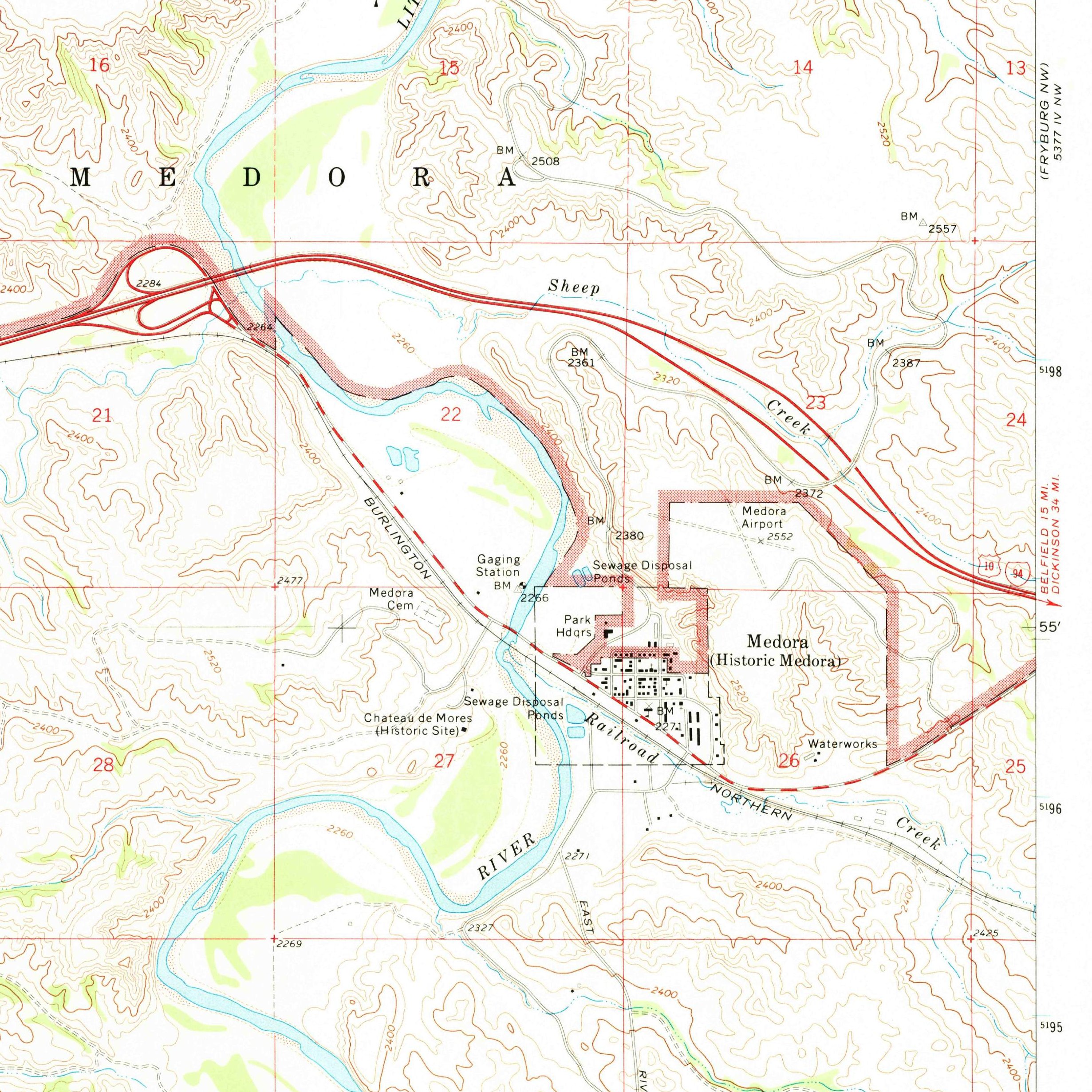 North DakotaU.S. Geological SurveyNorth Dakota
Chateau de Mores State Historic Site & Bakken School Section 16
Billings Co. · T140N, R102W, Secs. 16, 21 & 22, 5th Principal Meridian
Pairs an 1883 Northern Pacific RR odd-section patent (Marquis de Mores ranch/abattoir) and a 320-acre Enlarged Homestead with an adjoining Section 16 where North Dakota constitutionally retained 100% of oil/lignite minerals.
Read the North Dakota report →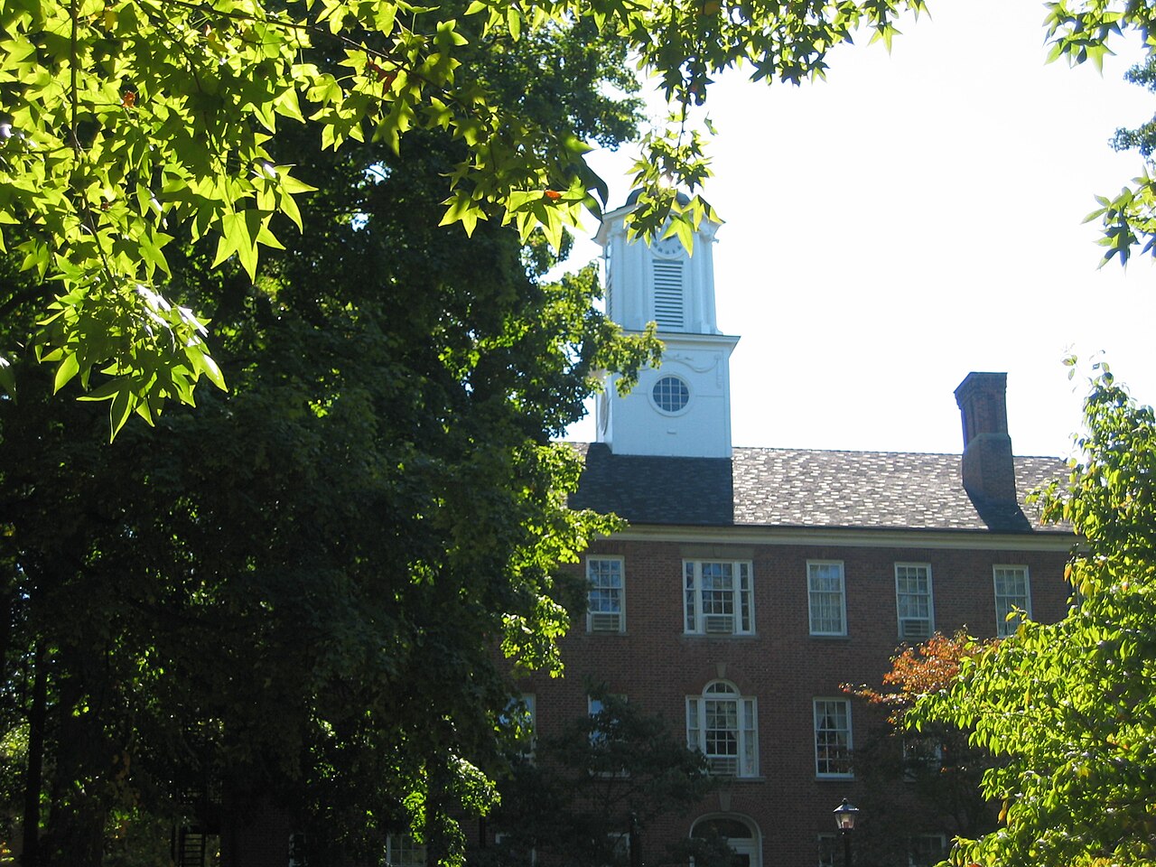 OhioUser:Ottawa80Ohio
Ohio University College Green & Sec. 16 / Sec. 29 Trust Lots
Athens Co. · T9N, R14W (Range 14, Town 9, Ohio Company Purchase), Secs. 9, 16 & 29
Reserved in 1787 in the only purchase in U.S. history containing three public trusts—two townships for a university (leased "renewable forever" from 1804, auctioned in 2015), Section 16 for Schools, and Section 29 for Religion.
Read the Ohio report →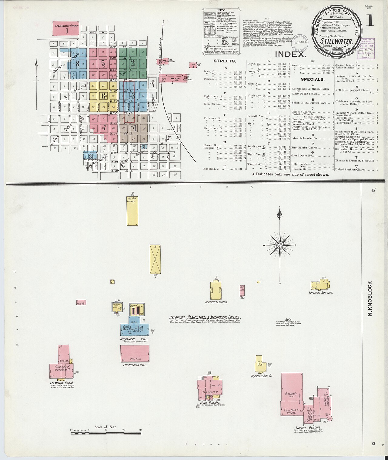 OklahomaUnknown authorUnknown authorOklahoma
OSU Cross Timbers Range & CLO 4-Purpose Trust Grid (Secs. 13, 16, 33, 36)
Payne Co. · T19N, R1E, Secs. 13, 16, 24 & 36, Indian Meridian
Combines an 1889 Land Run homestead (later acquired in the 1930s Lake Carl Blackwell New Deal project) with Oklahoma's unique 4-section trust grid: Secs. 16 & 36 (Schools), Sec. 13 (Colleges), and Sec. 33 (Public Bldgs).
Read the Oklahoma report →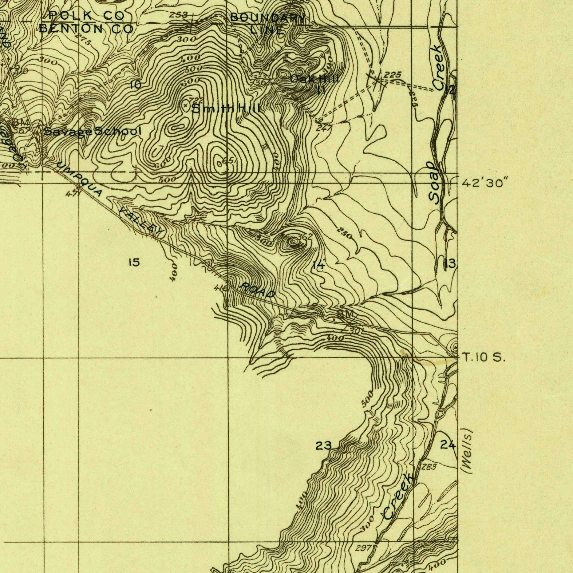 OregonU.S. Geological SurveyOregon
Letitia Carson Soap Creek Claim (OSU Ranch)
Benton Co. · T10S, R5W, Secs. 16, 17 & 20, Willamette Meridian
Black pioneer Letitia Carson's 1845 Soap Creek settlement collided with school Section 16; following David Carson's 1852 death, she won landmark 1855–56 Benton County jury verdicts for back wages ($300) and cattle ($1,200) sold by the estate administrator, later securing her own 1869 Douglas County homestead patent (ORRAA 008939). Researched by Dr. Bob Zybach (ORWW / NW Maps Co.).
Read the Oregon report →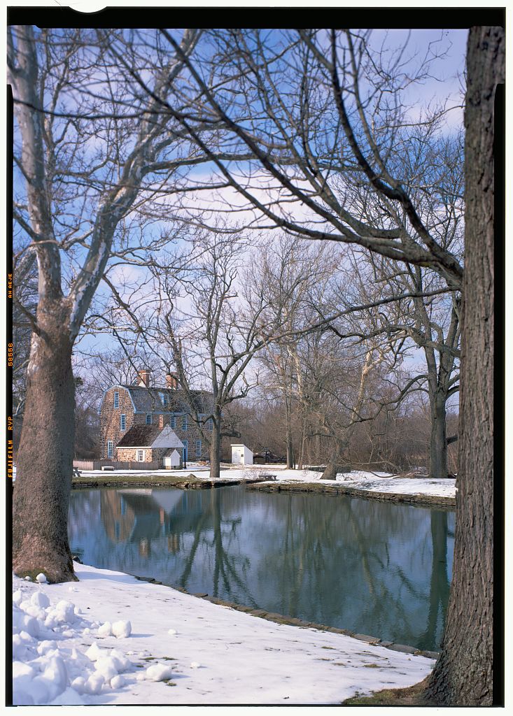 PennsylvaniaHistoric American Buildings Survey/Engineering RecordPennsylvania
Graeme Park State Historic Site (Penn Warrantee Connected Draft)
Montgomery / Bucks Co. (Horsham Twp.) · 1718 William Penn Proprietary Warrant & Survey
Public PHMC historic farmstead mapped on Pennsylvania's Township Warrantee Connected Draft jigsaw map, illustrating Penn's 4-step patent process (with a Luzerne Co. "Yankee-Pennamite" School Lot & severed coal sidebar).
Read the Pennsylvania report →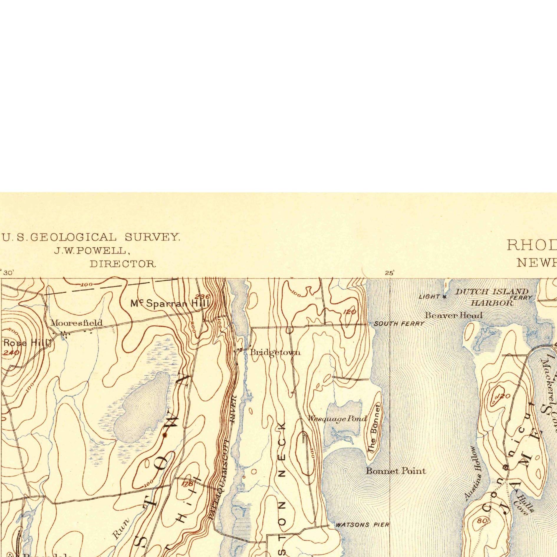 Rhode IslandU.S. Geological SurveyRhode Island
Casey Farm & 1657 Pettacomscott Purchase School Reserve
Washington Co. (Towns of North & South Kingstown) · 1657 Narragansett Sachem Deed
Nonprofit historic coastal farm in continuous tenure since the 1657 Pettacomscott Purchase from Narragansett Sachems, directly adjoining the proprietors' 300-acre School & Ministerial Reserve on stone-wall lidar.
Read the Rhode Island report →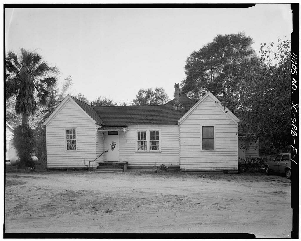 South CarolinaHistoric American Buildings Survey/Engineering RecordSouth Carolina
Penn Center NHL & 1863 Lincoln Direct Tax Freedmen's Grid
Beaufort Co. (St. Helena Island) · 1863 U.S. Direct Tax Commission 10-Ac Rectangular Survey
Where President Lincoln's 1863 Tax Commissioners gridded Sea Island plantations into 10-acre lots for Formerly Enslaved Gullah-Geechee families and reserved tracts to endow the Beaufort Parish Public School Fund.
Read the South Carolina report → South DakotaMike GoadSouth Dakota
Spearfish Canyon (Roughlock Falls) Lode, Flume & School Sec. 16
Lawrence Co. · T5N, R2E, Secs. 16, 20 & 30, Black Hills Meridian
Public state nature area on the isolated 1878 Black Hills Meridian where an 1880s homestead, an angled 1872 Mineral Survey lode patent, and an 1878 Homestake hydroelectric water right meet a Section 16 school tract.
Read the South Dakota report →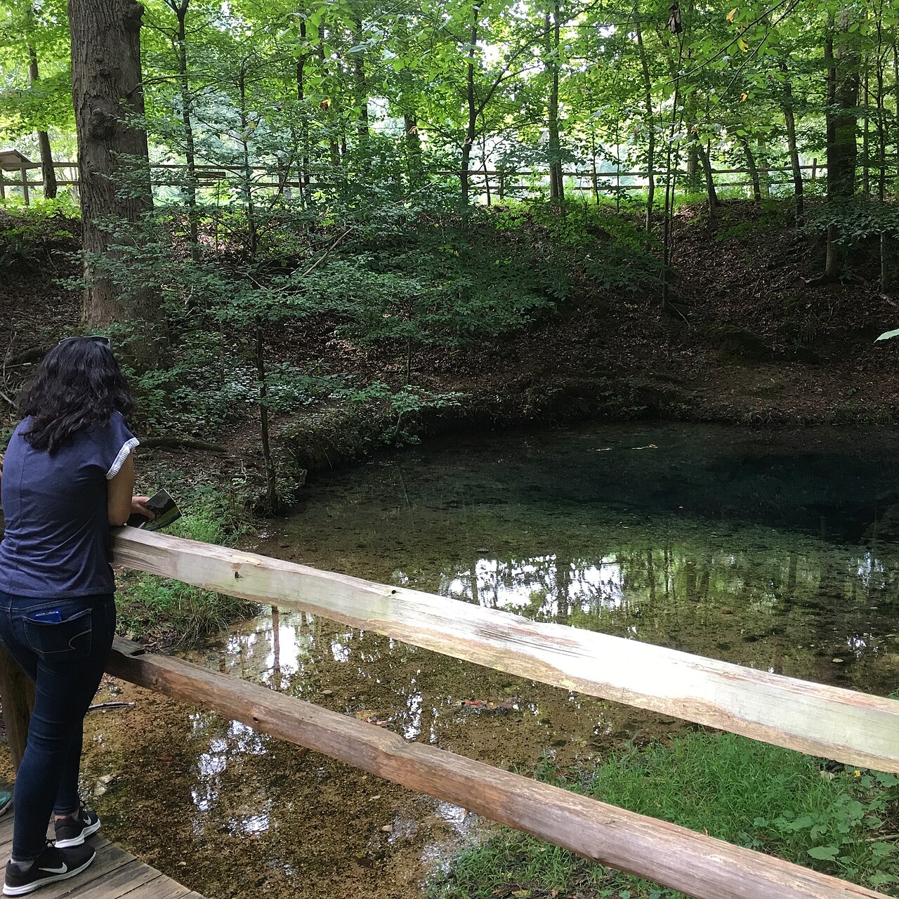 TennesseeNational Trails Office (US National Park Service)Tennessee
Red Clay State Historic Park (1836 State-Run Ocoee PLSS Grid)
Bradley Co. · T2S, R1W, Secs. 16 & 27, Ocoee District Basis Line (State-Built PLSS)
The last Cherokee Nation council ground before the 1838 Removal, surveyed by the State of Tennessee itself into a 36-section PLSS grid that reserved Section 16 for schools, with 1836 Cherokee property valuations.
Read the Tennessee report →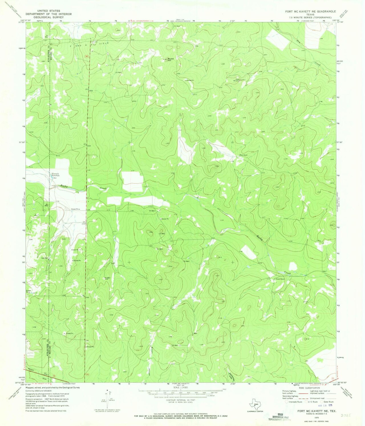 TexasGeological Survey (U.S.)Texas
Elephant Mountain WMA / Fort McKavett & Relinquishment Act Sec. 16
Brewster (or Menard) Co. · Even-Numbered RR School Section, Texas GLO Abstract System
Illustrates Texas's non-federal sovereign domain: an alternating Railroad Survey where the odd section went to the railroad and the even section went to the Permanent School Fund under a 1919 Relinquishment Act 50/50 mineral split.
Read the Texas report →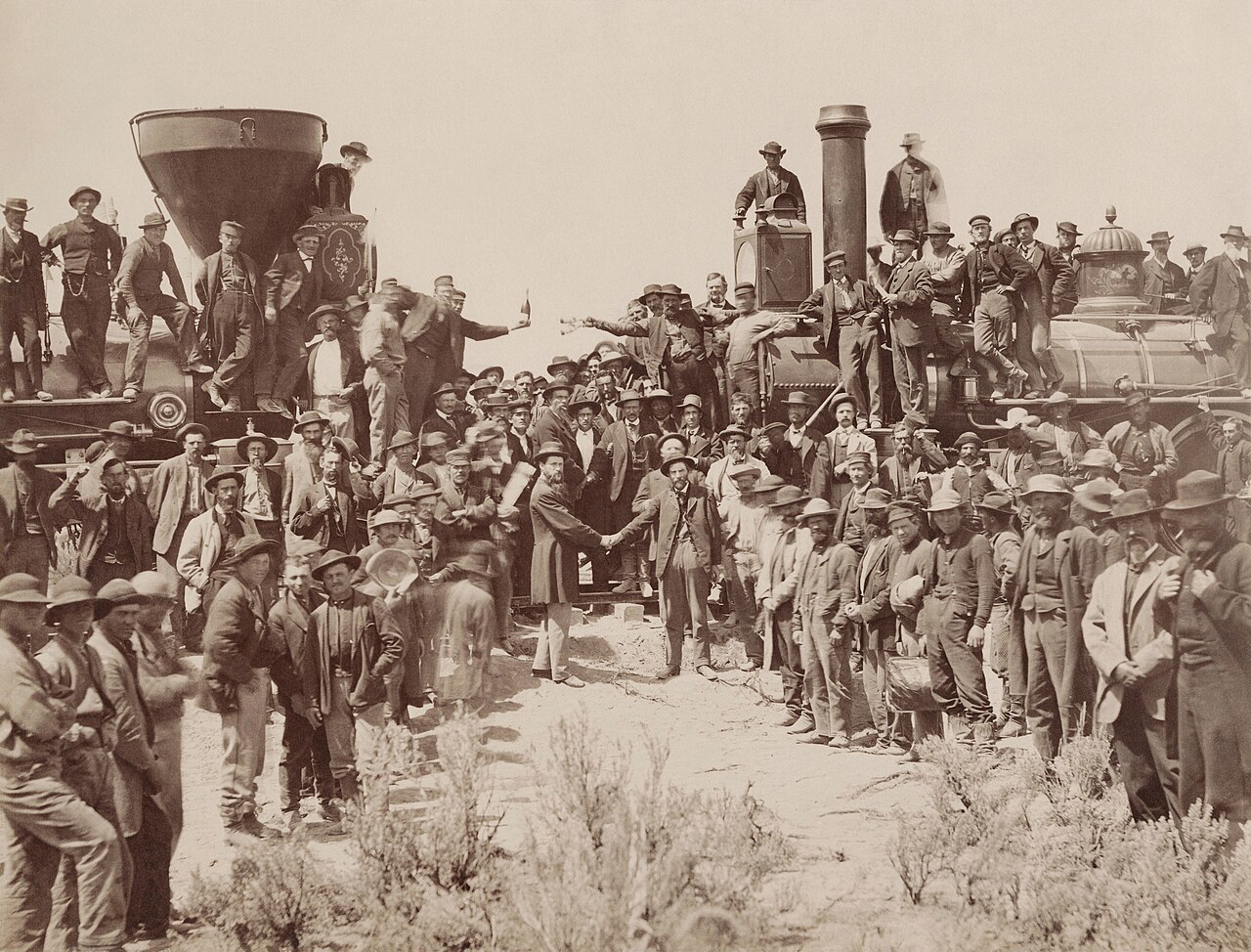 UtahAndrew J. Russell / Adam CuerdenUtah
Golden Spike NHP & Promontory School-Section Swap
Box Elder Co. · T10N, R6W, Secs. 1, 2, 11 & 12, Salt Lake Meridian
Where the 1869 transcontinental rails met inside the Central/Union Pacific railroad grant checkerboard, paired with the 1965/1980 federal exchange for Utah's Section 2 & 32 school trust lands inside the park.
Read the Utah report →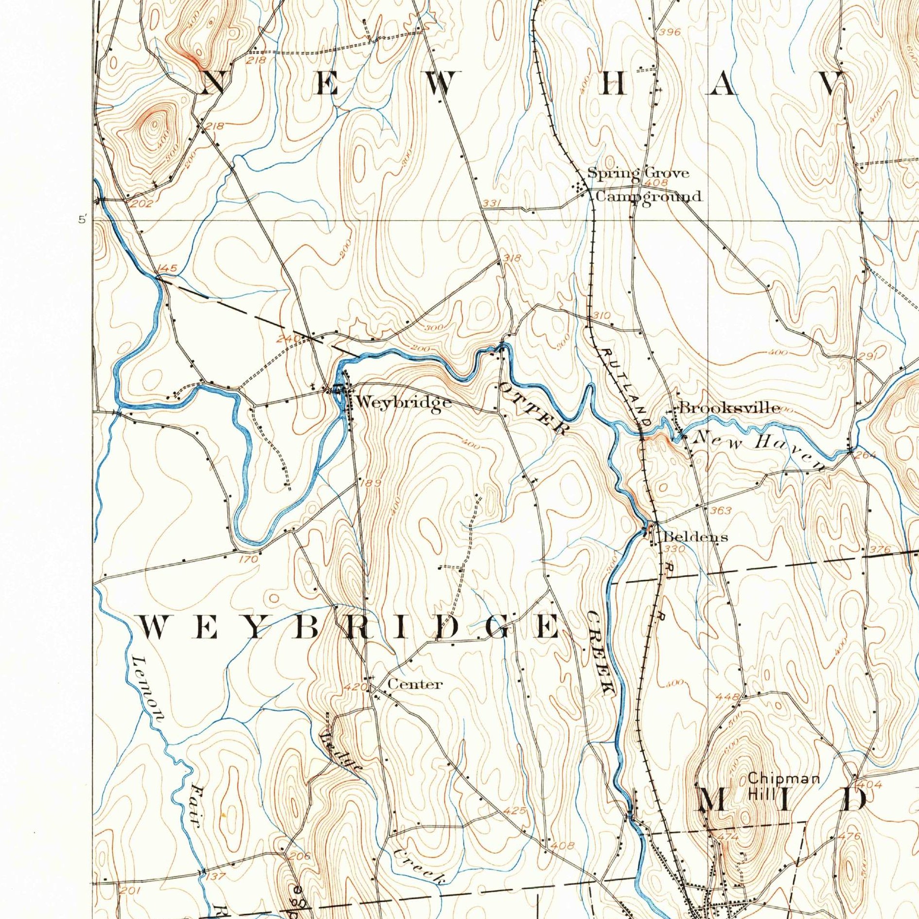 VermontU.S. Geological SurveyVermont
UVM Morgan Horse Farm & Middlebury/New Haven Glebe Lease Lot
Addison Co. (Towns of Weybridge & New Haven) · 1761 Benning Wentworth NH Charter Lots
University-owned farm adjoining perpetual "As Long as Grass Grows and Water Runs" Town School, Glebe, and SPG Lease Lots—the exact ground of the U.S. Supreme Court's 1823 SPG v. Town of New Haven trust decision.
Read the Vermont report →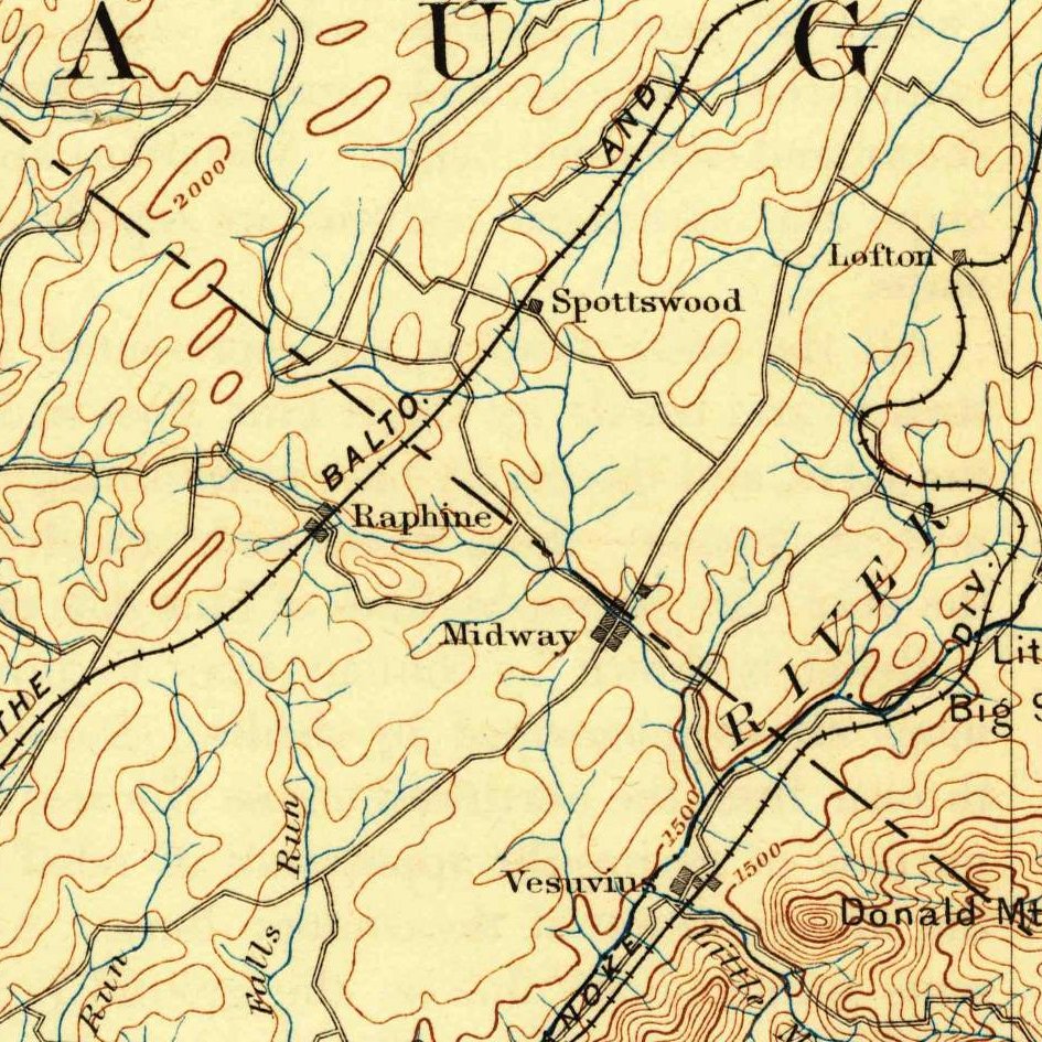 VirginiaU.S. Geological SurveyVirginia
McCormick Farm (VA Tech Research Center) & 1736 *Beverley Manor
Augusta / Rockingham Co. · 1736 Beverley Manor Royal Patent (118,491-Ac Valley Grant)
Owned by Virginia Tech with an intact 1736–2026 deed chain (including English Lease-and-Release deeds and a working mill race), paired with Virginia's 1784 Northwest Cession and 1810 Literary Fund school compact.
Read the Virginia report →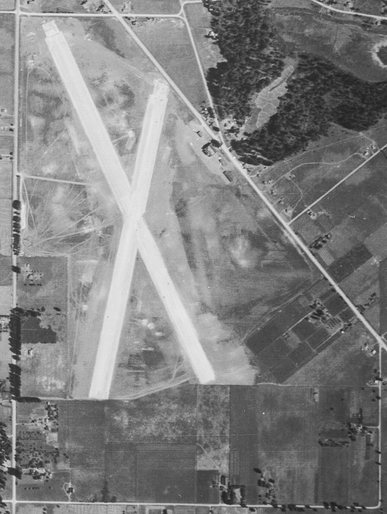 WashingtonUnited States Geological Survey (USGS)Washington
George Washington Bush Special-Act Claim & Sec. 16 Edge
Thurston Co. · T17N, R2W, Secs. 11–14 & Sec. 16 (DLC #60 / Port of Olympia), Willamette Meridian
Black pioneer George Bush's 1845 Bush Prairie farm—confirmed by a special 1855 Act of Congress (10 Stat. 848) after the territorial legislature petitioned for him—now held by the Port of Olympia near Section 16.
Read the Washington report →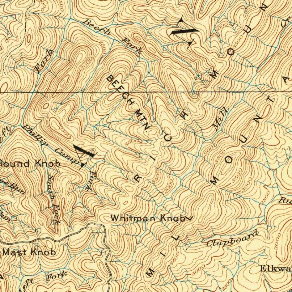 West VirginiaU.S. Geological SurveyWest Virginia
Holly River / Kumbrabow Tract (School Commissioner Chancery Deed)
Webster / Randolph Co. · 1780s "Corn Right" vs. 1790s "Leviathan" Speculator Patent
Shows how overlapping 1780s pioneer Settlement Certificates and 100,000-acre speculator grants were forfeited to the 1863 WV Irreducible School Fund and cleared via a County Commissioner of School Lands Chancery suit.
Read the West Virginia report → WisconsinAarongunnarWisconsin
Chippewa Moraine / Putnam Park (1862 NY Morrill Pine Scrip)
Chippewa / Eau Claire Co. · T27N/T31N, R8W, Secs. 16 & 21, 4th Principal Meridian Extended
Patented with New York's 1862 Morrill Act College Scrip located by Ezra Cornell on Chippewa Valley white pine (1837 Ojibwe Treaty cession), bordering a Wisconsin BCPL Section 16 Common School Fund tract.
Read the Wisconsin report →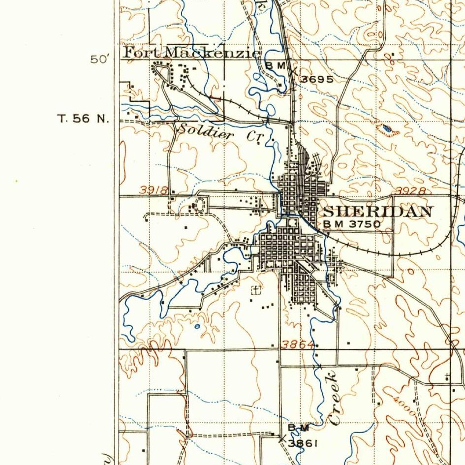 WyomingU.S. Geological SurveyWyoming
Trail End / Kendrick Ranch & Bighorn Split-Estate / Sec. 16 Edge
Sheridan Co. · T56N, R84W / T55N, R85W, Secs. 16 & 27, 6th Principal Meridian
Pairs an 1880s homestead and a 1916 Stock-Raising Homestead (with federal reserved coal) carrying an 1890 Elwood Mead Board of Control water certificate right beside an active Wyoming OSLI Section 16 lease.
Read the Wyoming report →