50 States, 50 Places & 50 Stories › Wisconsin
Wisconsin sample place
Chippewa Moraine / Putnam Park (1862 NY Morrill Pine Scrip)
Parcel at a glance
The Chippewa Moraine State Recreation Area and the Putnam Park old-growth pine reserve sit along the glacial kettle hills and Chippewa River bluffs in Chippewa and Eau Claire Counties, Township 27 North and Township 31 North, Range 8 West, Sections 16 and 21, Fourth Principal Meridian Extended. Owned by the State of Wisconsin (Department of Natural Resources) and the University of Wisconsin–Eau Claire, this corridor tells the greatest cross-country school- and college-trust story in American history.
The land before the survey
For centuries before American logging, the lakes, wild-rice beds, and towering white-pine forests of the Chippewa River Valley were the homeland of the Ojibwe (Anishinaabe) and Dakota Nations. Under the 1837 St. Peters ("Pine Tree") Treaty (7 Stat. 536), the Ojibwe ceded the Chippewa Valley timberlands while explicitly reserving their treaty rights to hunt, fish, and gather across the ceded territory. In the late 1840s and early 1850s, General Land Office (GLO) deputy surveyors extended the Fourth Principal Meridian northward across the glacial moraines, recording dense stands of white and red pine.
First owners and the paper trail
Under the 1862 Morrill Land-Grant College Act, eastern states that had no federal public land inside their own borders received paper Land Scrip to sell on the open market. While most eastern states sold their scrip cheaply to speculators, Ezra Cornell purchased New York's 990,000 acres of Morrill Act Scrip, hired Eau Claire land agent Henry C. Putnam, and personally located roughly 500,000 acres of prime old-growth white pine in Wisconsin's Chippewa Valley. Rather than flipping the land quickly, Cornell held the Wisconsin pine sections for decades—selling the timber to lumber barons as stumpage prices soared (generating over $5 million for Cornell University's endowment) and later selling the cutover land to Scandinavian and German dairy farmers, frequently reserving subsurface mineral rights in the Cornell University out-sale deeds. In 1909, Henry Putnam donated the uncut pine bluff in Eau Claire (Putnam Park) for public use; it is now managed by UW–Eau Claire ([TO CONFIRM]: donation recipient and transfer date).
School-trust connection
Alongside New York's Morrill Act college scrip sections, the Wisconsin Enabling Act of August 6, 1846 (9 Stat. 56) granted Section 16 in every township to the State of Wisconsin for common schools. Managed by the Wisconsin Board of Commissioners of Public Lands (BCPL)—established by the 1848 Wisconsin Constitution—income from the state's Common School Fund is distributed to every K–12 school district as Common School Fund library aid for school library books and media.
What records survive and where to look
- Free Online 1840s GLO Notes & Statewide Parcels: The Wisconsin BCPL and UW–Madison host free high-resolution scans of every original 1830s–1860s GLO survey plat and field note volume in the state, while the WLIP Statewide Parcel Map covers all 72 counties.
- 1938 Aerials, Certified Survey Maps & Cornell Ledgers: WHAIFinder hosts the 1937–1941 statewide USDA aerials; Chippewa and Eau Claire County GIS portals link to scanned Certified Survey Maps (CSMs) and corner ties; and pre-1920 county deeds (including Ezra Cornell's scrip patents and mineral-reservation deeds) are digitized on FamilySearch.
What we are still confirming
- The exact Agricultural College Scrip warrant number on the BLM GLO patent for Section 21, and whether Cornell University's standard 19th-century subsurface mineral reservation clause remains active on the adjoining cutover farm parcels.
Historical & landscape images
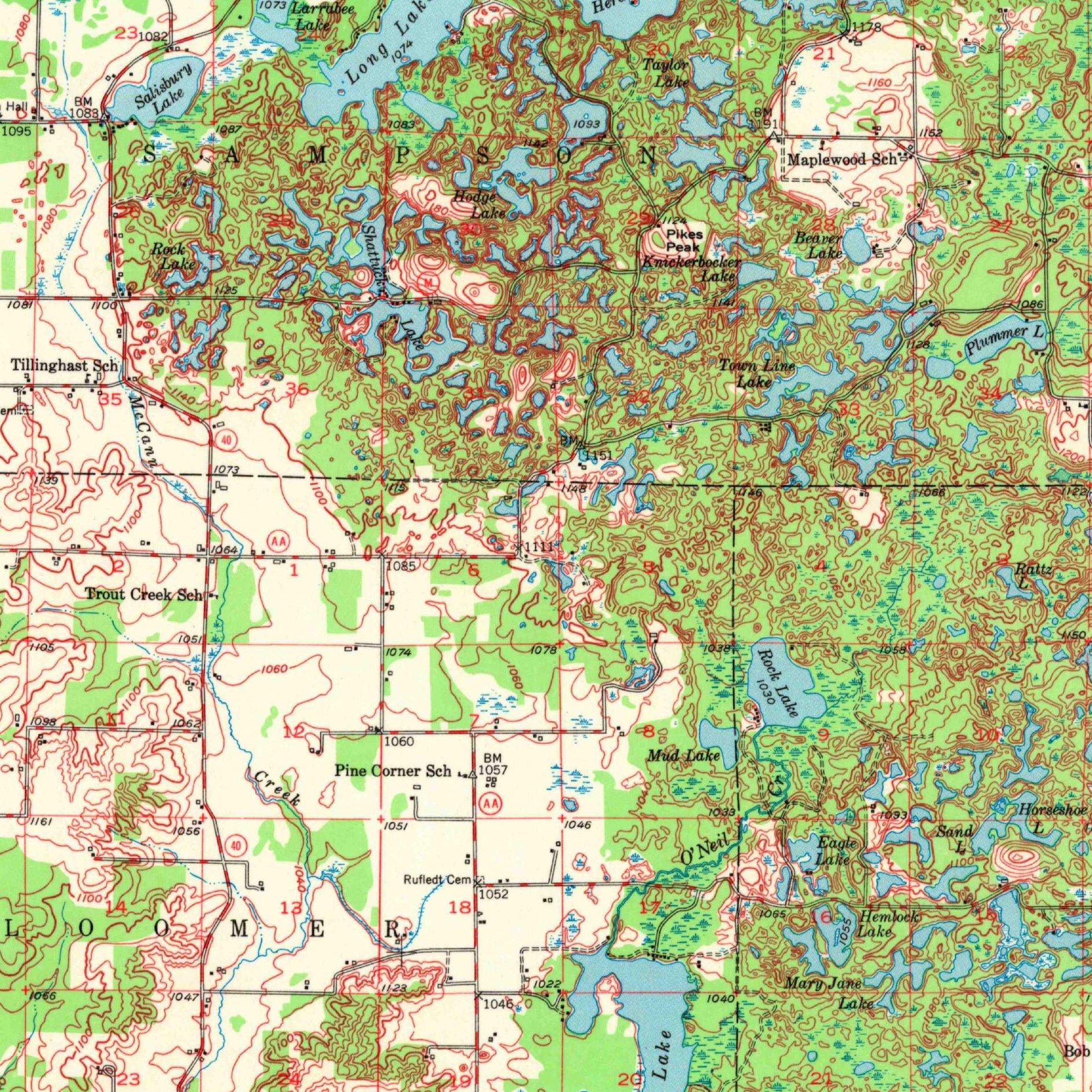
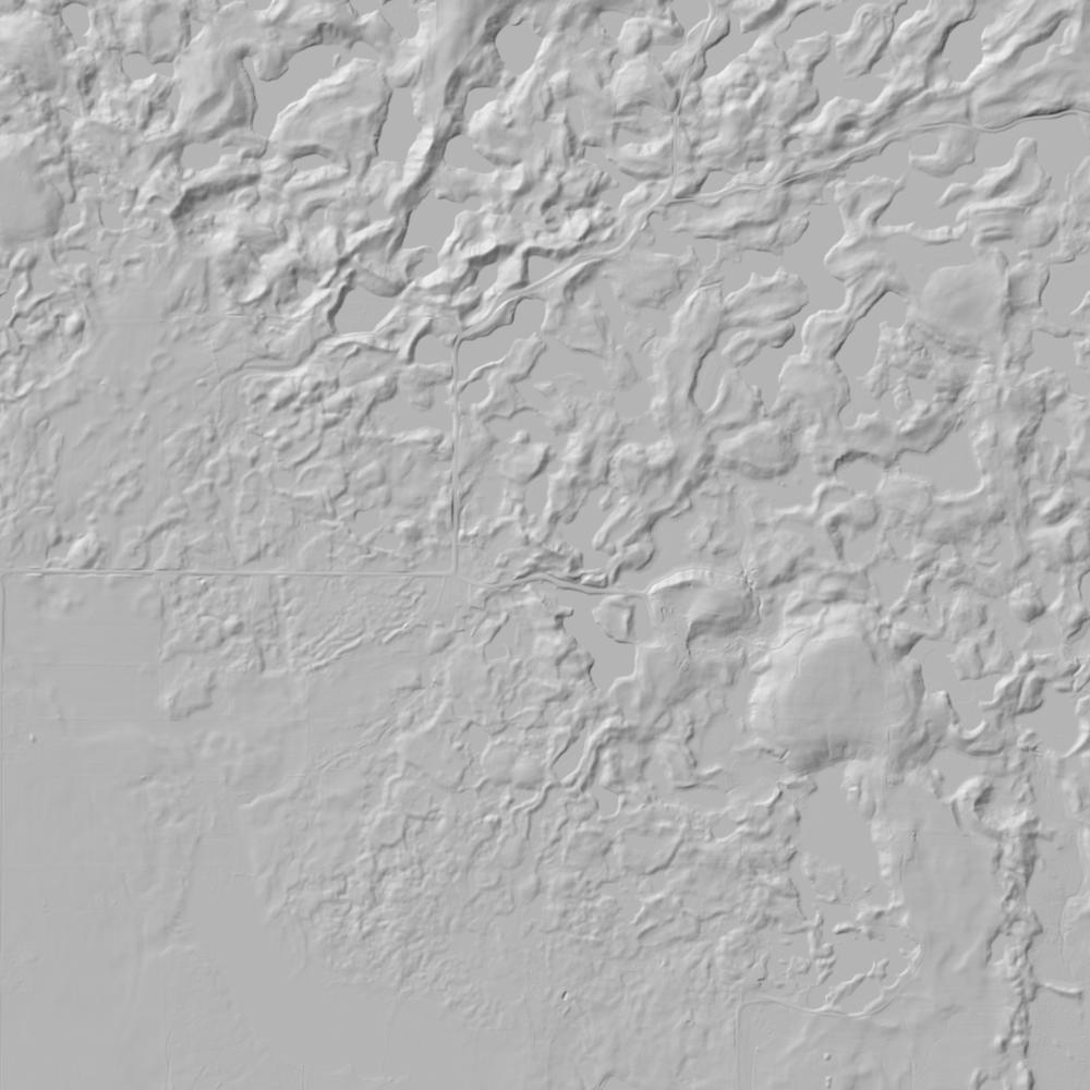
Aerial photographs, historical topographic surveys, lidar elevation, and ground imagery gathered for this place.


How to get more images
- USGS EarthExplorer (earthexplorer.usgs.gov, free account): Aerial Photo Single Frames, NHAP (1980–89, incl. color-infrared) and NAPP (1987–2007) covering this site. Medium-resolution scans download free; high-resolution film scans cost about $30 per frame (2–3 weeks).
- USDA FSA Aerial Photography Field Office (APFO, Salt Lake City): historic county-wide farm-program photos from the 1930s on, ordered by email/phone; scans run roughly $20–$50 per frame (check current price list).
- National Archives (College Park, Cartographic Branch): 1930s–1950s USDA/AAA aerials; free to view in person, reproductions through NARA's order service or approved vendors.
- UW–Madison Robinson Map Library historic aerials (WHAIP, many free online).
- HistoricAerials.com (NETR Online): stitched historic aerials and topos by address; downloads/prints priced per image (often about $30–$80 for personal use; commercial licensing extra).
- Commercial satellite (Maxar/Vantor, Airbus, Planet via resellers such as SkyWatch or Apollo Mapping): archive scenes from ~$10–$25/km² with small minimum orders; new tasking costs more.
- Drone flight: a local FAA Part 107 pilot typically charges about $200–$600 for a basic photo/video shoot of a parcel; ask the landowner or site manager for permission first.
This sample report was researched from public records and checked against its sources. Historical research, not title or boundary advice.
← All 50 states, places & stories · Original 50 Picks Archive · Start your own Land File