50 States, 50 Places & 50 Stories › Tennessee
Tennessee sample place
Red Clay State Historic Park (1836 State-Run Ocoee PLSS Grid)
Parcel at a glance
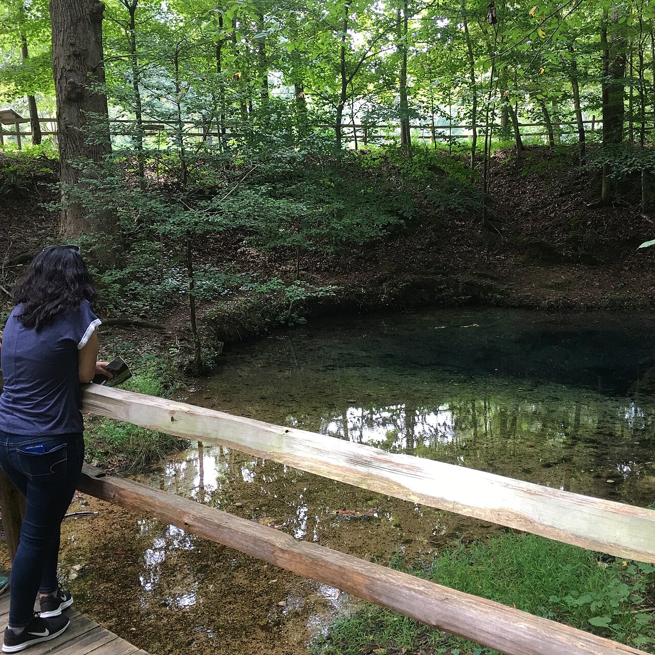
Red Clay State Historic Park sits around the Blue Hole limestone spring in the valley just north of the Georgia state line in Bradley County, Township 2 South, Range 1 West, Sections 16 and 27, Ocoee District Basis Line. Owned today by the State of Tennessee as a 263-acre historic park, this parcel preserves the last council ground of the Cherokee Nation prior to Removal and showcases a genuine 36-section rectangular survey grid engineered entirely by the State of Tennessee.
The land before the survey
While almost all of Tennessee has no rectangular survey grid and relies on irregular North Carolina metes-and-bounds warrants, the southeastern corner of the state is a remarkable exception. After the State of Georgia outlawed the Cherokee government at New Echota in 1832, Principal Chief John Ross and the Cherokee National Council relocated their capital just across the Tennessee border to the perennial karst spring at Red Clay (Ela-Wa-Di-Yi), where up to 4,000 citizens gathered between 1832 and 1837 to petition Congress against removal. Following the contested 1835 Treaty of New Echota, the State of Tennessee established the Ocoee District in 1836 and sent state surveyors to lay out its own rectangular grid of 36-section townships.
First owners and the paper trail
Before U.S. troops forced the Cherokee Nation west on the Trail of Tears in 1838, federal valuation agents walked Red Clay Valley and recorded item-by-item appraisals of the Cherokee council arbor, hewn-log cabins, peach orchards, and split-rail fields. In November 1838, Tennessee opened the Ocoee District Land Office in nearby Cleveland. Under the state's graduated entry law, settlers holding occupant preemption rights and public bidders entered quarter-sections in Section 27—beginning at $7.50 per acre and stepping down over subsequent months to $5.00, $2.00, and finally one cent per acre—receiving official State of Tennessee Ocoee District Grants. Farmed privately for more than a century (and crossed by the East Tennessee, Virginia & Georgia Railroad right-of-way), the spring and council meadows were purchased by the State of Tennessee in the 1970s.
School-trust connection
Even though the federal government had no authority over Tennessee's state-owned public domain in the Ocoee District, the Tennessee General Assembly voluntarily copied the federal Northwest Ordinance school compact onto its state-built grid—statutorily reserving Section 16 in every Ocoee District township (including Section 16 of T2S, R1W; [TO CONFIRM]: its position relative to the park) to endow public common schools.
What records survive and where to look
- 1836 Cherokee Valuations & Ocoee Grants: NARA Record Group 75 preserves the 1836 Cherokee property valuations at Red Clay, while the Tennessee State Library and Archives (TSLA) and FamilySearch host digitized Ocoee District Entry and Grant Books and the original 1837 District Surveyor's Plat.
- Statewide GIS & Park Files: The Tennessee Comptroller's TN Property Viewer provides open statewide parcel polygons and assessment histories.
What we are still confirming
- We are cross-checking the surviving 1838–1845 State Ocoee Grant Books at TSLA with Bradley County deeds ([TO CONFIRM]: any Civil War loss of Bradley County records) to confirm the mid-19th-century chain of title between the original Ocoee grantee and the 20th-century farm owners.
Historical & landscape images
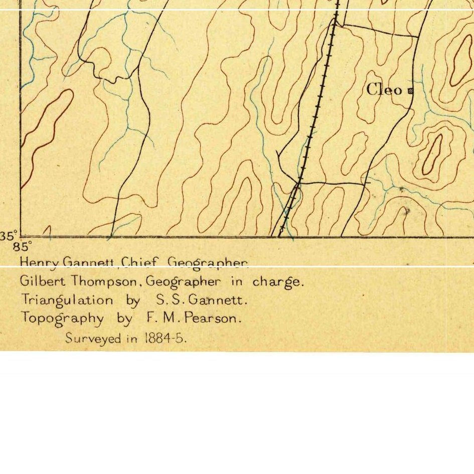
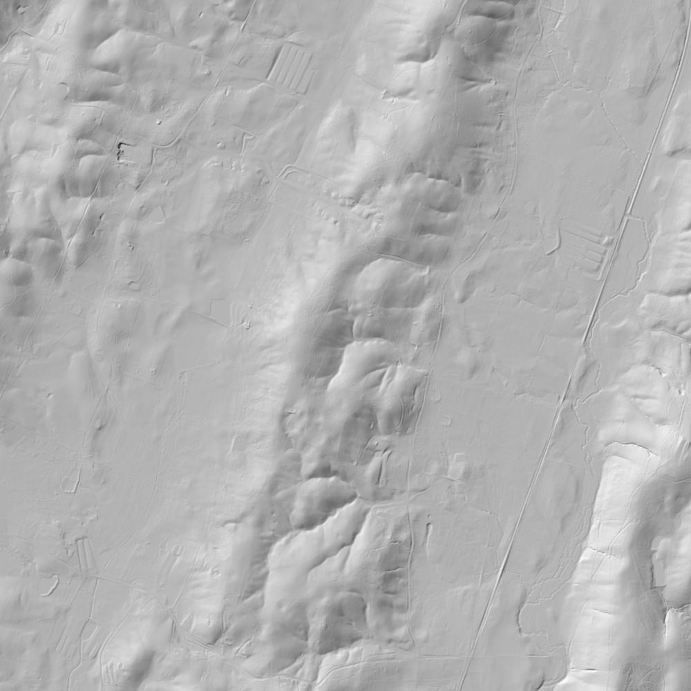
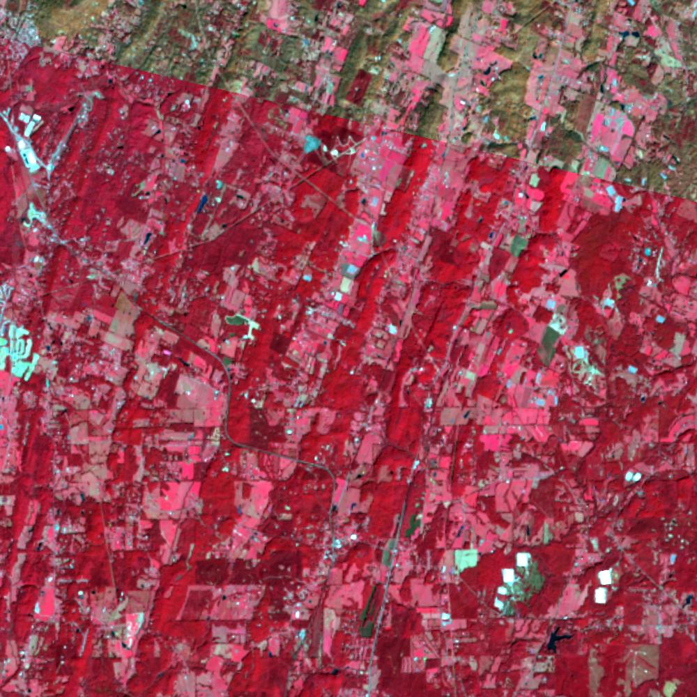
Aerial photographs, historical topographic surveys, lidar elevation, and ground imagery gathered for this place.
How to get more images
- USGS EarthExplorer (earthexplorer.usgs.gov, free account): Aerial Photo Single Frames, NHAP (1980–89, incl. color-infrared) and NAPP (1987–2007) covering this site. Medium-resolution scans download free; high-resolution film scans cost about $30 per frame (2–3 weeks).
- USDA FSA Aerial Photography Field Office (APFO, Salt Lake City): historic county-wide farm-program photos from the 1930s on, ordered by email/phone; scans run roughly $20–$50 per frame (check current price list).
- National Archives (College Park, Cartographic Branch): 1930s–1950s USDA/AAA aerials; free to view in person, reproductions through NARA's order service or approved vendors.
- the Tennessee State Archives / state historical society and the state university map library (ask about historic aerial prints and scans); the state GIS clearinghouse for lidar.
- HistoricAerials.com (NETR Online): stitched historic aerials and topos by address; downloads/prints priced per image (often about $30–$80 for personal use; commercial licensing extra).
- Commercial satellite (Maxar/Vantor, Airbus, Planet via resellers such as SkyWatch or Apollo Mapping): archive scenes from ~$10–$25/km² with small minimum orders; new tasking costs more.
- Drone flight: a local FAA Part 107 pilot typically charges about $200–$600 for a basic photo/video shoot of a parcel; ask the landowner or site manager for permission first.
This sample report was researched from public records and checked against its sources. Historical research, not title or boundary advice.
← All 50 states, places & stories · Original 50 Picks Archive · Start your own Land File