50 States, 50 Places & 50 Stories › Maryland
Maryland sample place
Monocacy National Battlefield (Best Farm / Tasker's Chance)
Parcel at a glance
The Best Farm unit of Monocacy National Battlefield sits along the west bank of the Monocacy River just south of Frederick in Frederick County, spanning parts of the colonial metes-and-bounds patents named "Tasker's Chance" (1727) and "Brothers Content" / "Resurvey on Brothers Content" (1742–1760s). Owned today by the National Park Service as a 274-acre historic farmstead, the parcel illustrates Lord Baltimore's unique "Named Tract" system and benefits from the finest free online courthouse archive on the East Coast.
The land before the survey
For thousands of years, the fertile limestone valley of the Monocacy River formed a primary north-south Indigenous travel and trade corridor (the Monocacy Road, later the Great Philadelphia Wagon Road) used by the Susquehannock, Piscataway, Shawnee, and Tuscarora peoples. Under the 1632 Royal Charter to Cecil Calvert, Lord Baltimore, Maryland was governed as a private proprietary colony with no rectangular survey grid. Instead, every settler who obtained a land warrant from the Proprietary Land Office in Annapolis was required to christen their irregular metes-and-bounds survey with an official Tract Name—and those colonial tract names are still cited in modern Maryland deeds today.
First owners and the paper trail
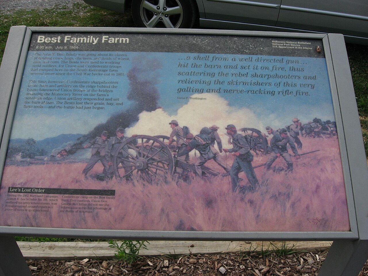
In 1727, Annapolis mayor and councilor Benjamin Tasker patented the 7,000-acre tract named "Tasker's Chance" along the Monocacy River, subdividing and selling 100- to 300-acre farms in the 1740s to Palatine German immigrants who built stone houses and limestone bank barns. Immediately adjoining it along the river crossing, 18th-century owners stitched earlier surveys and triangular "vacancies" together using a signature Maryland instrument called a Patent of Resurvey. In 1793–1794, French planters fleeing the Haitian Revolution (the Vincendière family) assembled 748 acres here as the plantation L'Hermitage (later farmed by the Best family during the pivotal July 9, 1864 Battle of Monocacy, "The Battle that Saved Washington") before the National Park Service acquired the property.
School-trust connection
Maryland holds a foundational double place in American school-land history. First, in 1723, the General Assembly passed the Maryland County Free School Act, appointing trustees in every county to purchase 100-acre school plantations for public education. Second, from 1777 to 1781, landless Maryland refused to ratify the Articles of Confederation until Virginia and the other landed states agreed to cede their Western land claims to Congress—single-handedly creating the Federal Public Domain where the 1785 Section 16 school compact was born.
What records survive and where to look
- 100% Free Online Deeds & Plats (1634–2026): Maryland's MDLandRec.net provides completely free online access to every scanned deed book and index in Frederick County back to 1748 (and 1634 statewide), while Plats.net hosts free high-resolution scans of every recorded survey plat.
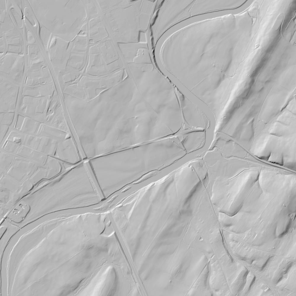
- Colonial Patents & Lidar: The Maryland State Archives Patented Certificates series and Dr. Arthur Tracey's mapped colonial tract reconstructions of Frederick County are online alongside MD iMAP 1-meter lidar and NPS archaeological reports.
What we are still confirming
- The exact Patent Certificate liber and folio citations at the Maryland State Archives for the 18th-century Patent of Resurvey joining the southern line of Tasker's Chance to the Vincendière / Best Farm river tract.
Historical & landscape images
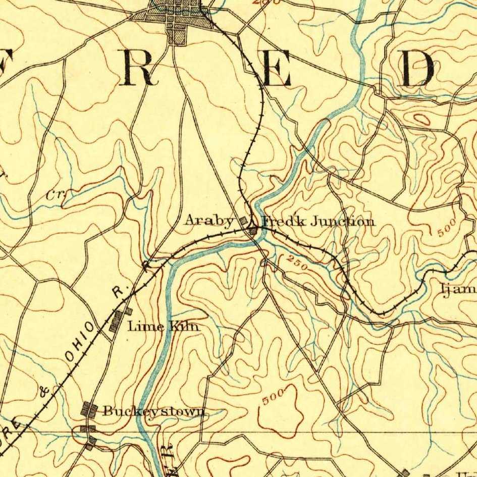
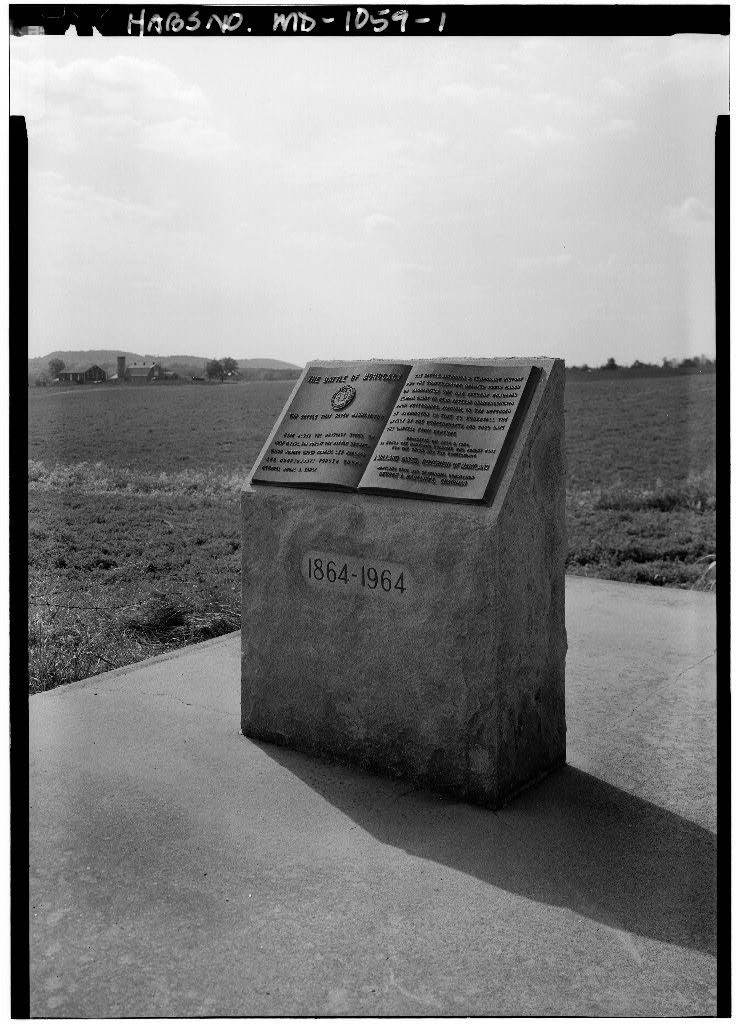
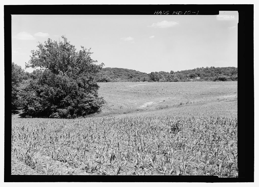
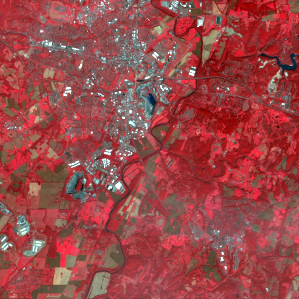
Aerial photographs, historical topographic surveys, lidar elevation, and ground imagery gathered for this place.
How to get more images
- USGS EarthExplorer (earthexplorer.usgs.gov, free account): Aerial Photo Single Frames, NHAP (1980–89, incl. color-infrared) and NAPP (1987–2007) covering this site. Medium-resolution scans download free; high-resolution film scans cost about $30 per frame (2–3 weeks).
- USDA FSA Aerial Photography Field Office (APFO, Salt Lake City): historic county-wide farm-program photos from the 1930s on, ordered by email/phone; scans run roughly $20–$50 per frame (check current price list).
- National Archives (College Park, Cartographic Branch): 1930s–1950s USDA/AAA aerials; free to view in person, reproductions through NARA's order service or approved vendors.
- the Maryland State Archives / state historical society and the state university map library (ask about historic aerial prints and scans); the state GIS clearinghouse for lidar.
- HistoricAerials.com (NETR Online): stitched historic aerials and topos by address; downloads/prints priced per image (often about $30–$80 for personal use; commercial licensing extra).
- Commercial satellite (Maxar/Vantor, Airbus, Planet via resellers such as SkyWatch or Apollo Mapping): archive scenes from ~$10–$25/km² with small minimum orders; new tasking costs more.
- Drone flight: a local FAA Part 107 pilot typically charges about $200–$600 for a basic photo/video shoot of a parcel; ask the landowner or site manager for permission first.
This sample report was researched from public records and checked against its sources. Historical research, not title or boundary advice.
← All 50 states, places & stories · Original 50 Picks Archive · Start your own Land File