50 States, 50 Places & 50 Stories › Louisiana
Louisiana sample place
Laurel Valley Plantation Museum (40-Arpent Ribbon Farm)
Parcel at a glance
The Laurel Valley Plantation Museum sits two miles south of Thibodaux along the natural levee of Bayou Lafourche in Lafourche Parish, Township 15 South, Range 17 East, Sections (Private Claims) 45 through 48, Southeastern Land District of Louisiana. Preserved with support from the Laurel Valley Heritage Foundation (the Friends of Laurel Valley reopened the store and museum in 1984, and Nicholls State University Archives holds plantation records), this historic tract ([TO CONFIRM]: 59-building count) contains the largest surviving 19th- and 20th-century sugar plantation complex in the United States.
The land before the survey
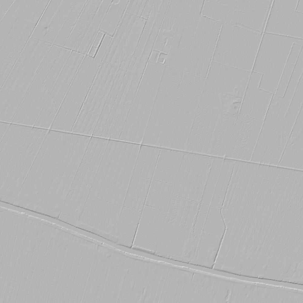
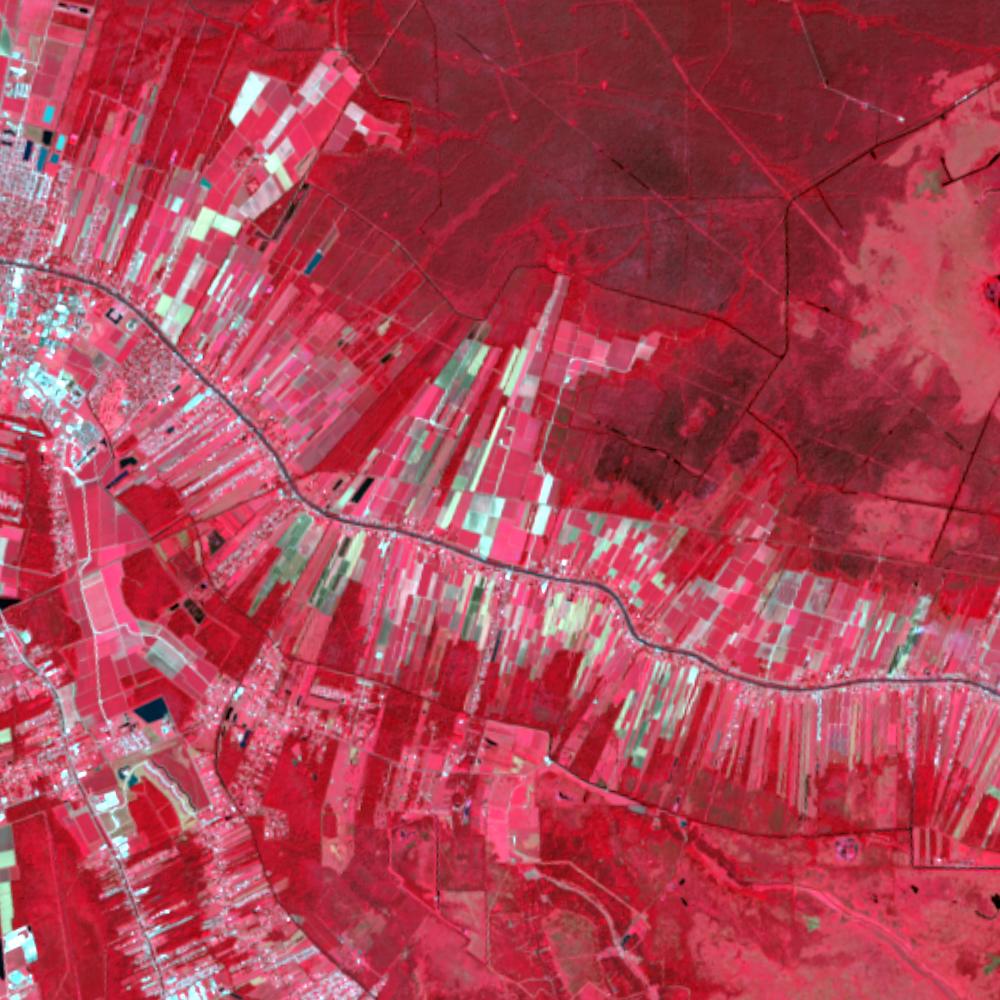
For centuries before European contact, the natural levees and cypress-tupelo backswamps of Bayou Lafourche ("The Fork," an ancient channel of the Mississippi River) were the homeland of the Washa, Chawasha, and Houma peoples. In the late 1700s, French and Spanish colonial governors granted narrow riverfront ribbon farms along the bayou to Acadian (Cajun) and Creole settlers. Measured in French arpents (one lineal arpent equals roughly 192 feet), each farm typically ran 4 to 8 arpents wide along the bayou by 40 or 80 arpents deep into the backswamp—giving every family bayou water transport in front, rich alluvial ridge soil for crops in the middle, and cypress building timber in the rear.
First owners and the paper trail
Following the 1803 Louisiana Purchase, early bayou settlers (including Etienne Boudreaux, whose land grant dates to 1785) submitted their French and Spanish grant papers to the U.S. Board of Land Commissioners for confirmation. When federal deputy surveyors arrived in the 1820s and 1830s, they could not impose a square 36-section checkerboard over the bayou; instead, they numbered each radiating arpent ribbon as its own "Section" (creating townships with over 100 narrow sections). Sold by the Boudreaux family in 1832 to Joseph W. Tucker, who developed the sugar plantation, and acquired in 1874 by Burch Wormald and later operators ([TO CONFIRM]: later owner names) as a steam-powered sugar mill and village, the property's chain of title illustrates Louisiana's Napoleonic Civil Law system—where estates pass through forced-heirship Successions and Notarial Acts, and where severed oil and gas Mineral Servitudes legally prescribe (expire and revert to the surface owner) after 10 years of non-use.
School-trust connection
Under the Acts of April 21, 1806 and May 20, 1826, Congress reserved Section 16 in every Louisiana township for public schools. Because solid banks of confirmed 40-arpent French and Spanish claims along Bayou Lafourche completely covered where Section 16 would have fallen in T15S, R17E, the 1826 act allowed the state to select equivalent public land elsewhere as indemnity for the parish school fund.
What records survive and where to look
- Radiating arpent plats & State Land files: The BLM GLO portal and the Louisiana State Land Office Historical Records portal publish free scans of the 1830s radiating arpent township plats and Private Claim certificates.
- Civil-law Successions & oil/gas GIS: Louisiana DNR's SONRIS portal maps all oil, gas, and water wells, while Lafourche Parish Conveyance Books and Probate Succession packets back to 1808 are digitized on FamilySearch.
What we are still confirming
- The exact 1806–1816 U.S. Land Commissioners' Confirmation Certificate numbers for Private Claim Sections 45–48 in T15S, R17E.
- The specific indemnity selection records replacing the displaced Section 16 of T15S, R17E.
Historical & landscape images
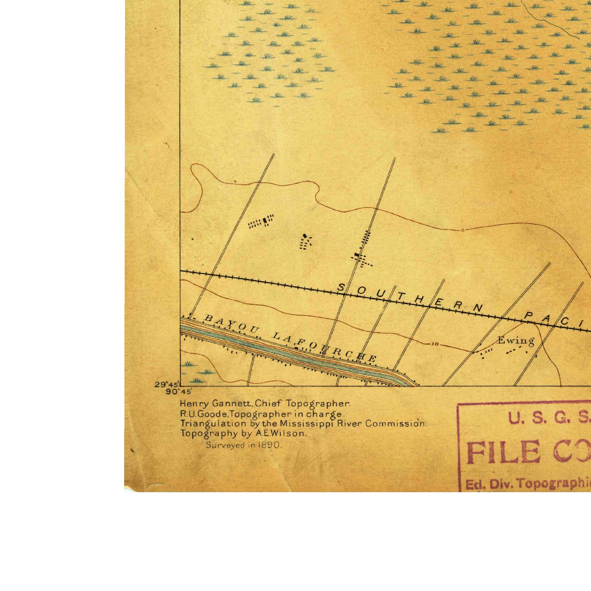
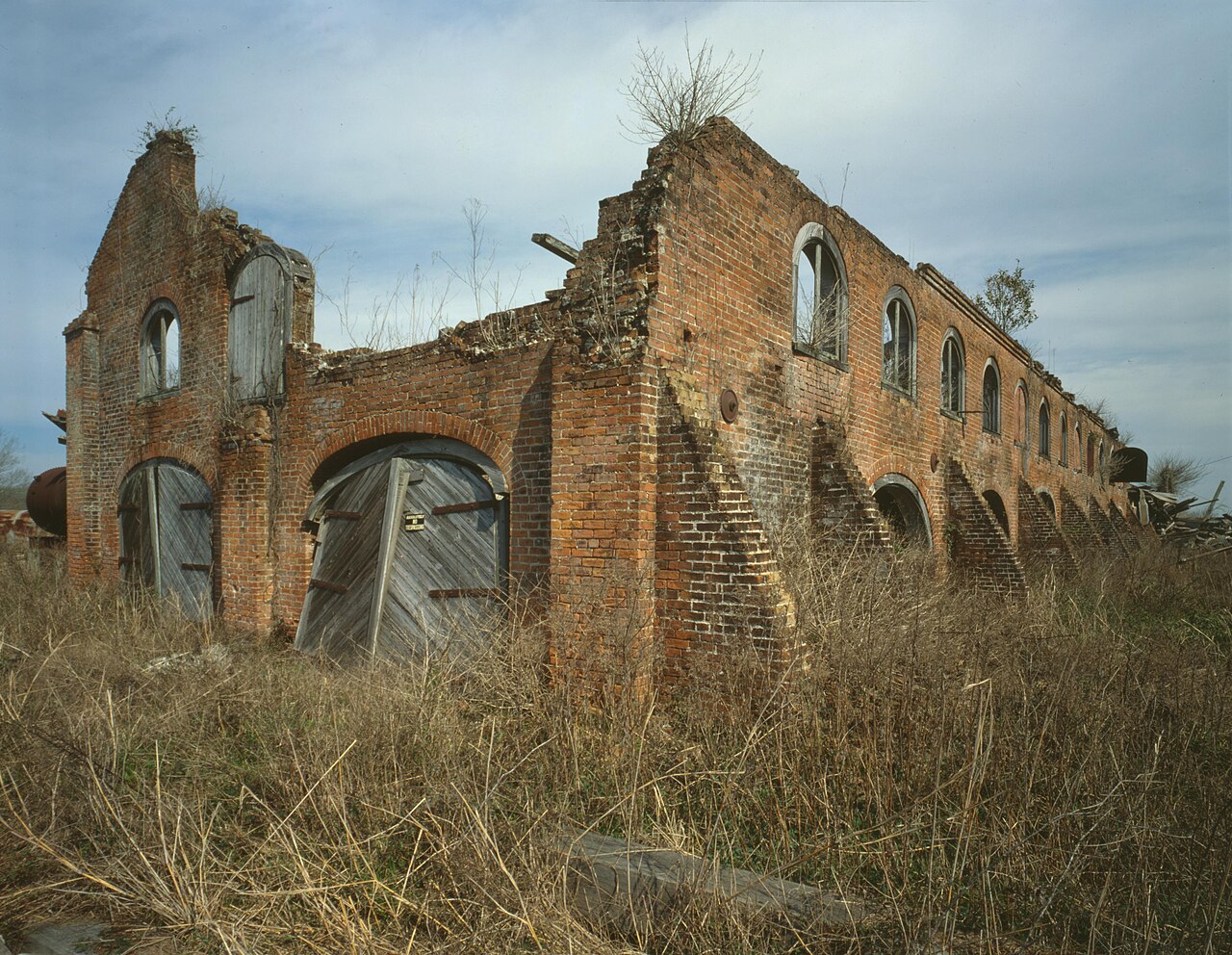
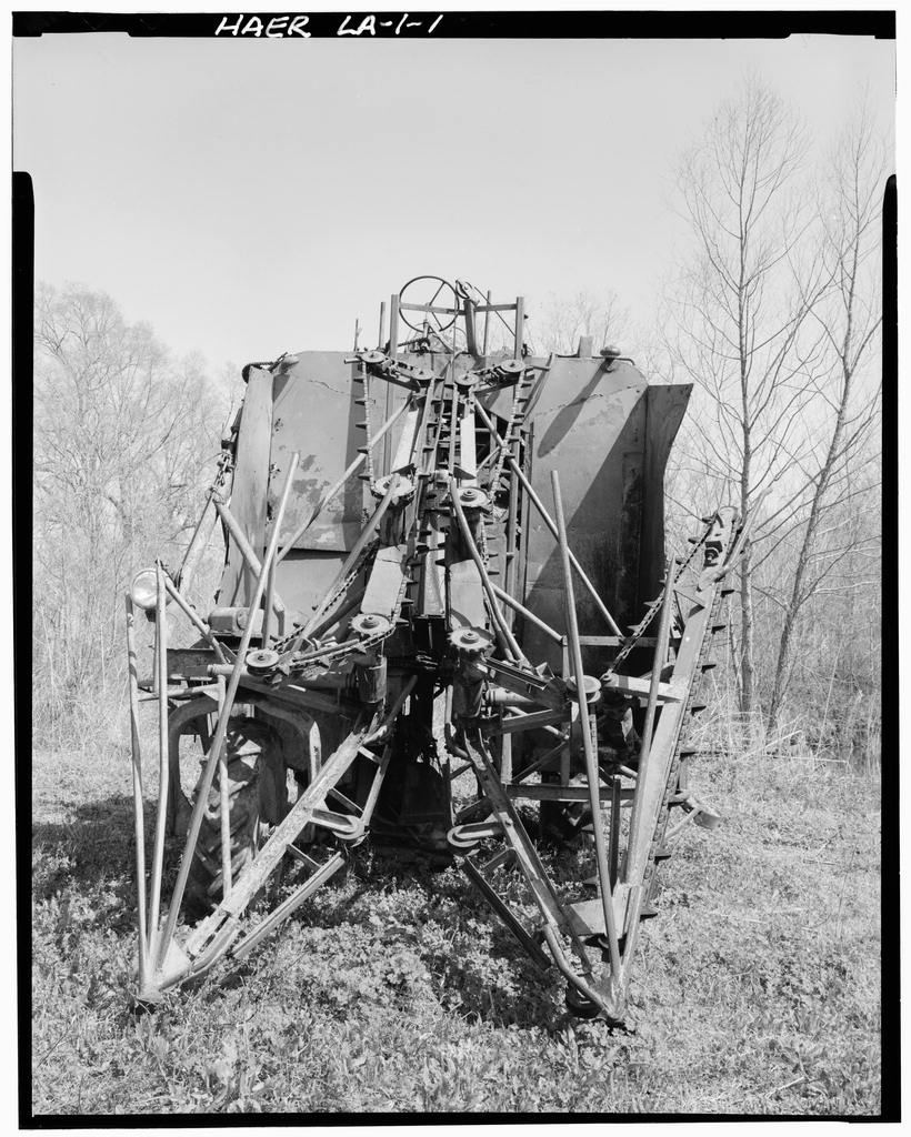
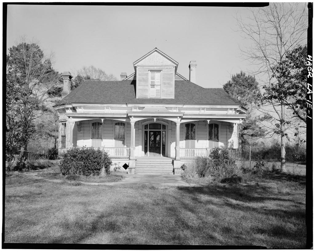
Aerial photographs, historical topographic surveys, lidar elevation, and ground imagery gathered for this place.
How to get more images
- USGS EarthExplorer (earthexplorer.usgs.gov, free account): Aerial Photo Single Frames, NHAP (1980–89, incl. color-infrared) and NAPP (1987–2007) covering this site. Medium-resolution scans download free; high-resolution film scans cost about $30 per frame (2–3 weeks).
- USDA FSA Aerial Photography Field Office (APFO, Salt Lake City): historic county-wide farm-program photos from the 1930s on, ordered by email/phone; scans run roughly $20–$50 per frame (check current price list).
- National Archives (College Park, Cartographic Branch): 1930s–1950s USDA/AAA aerials; free to view in person, reproductions through NARA's order service or approved vendors.
- the Louisiana State Archives / state historical society and the state university map library (ask about historic aerial prints and scans); the state GIS clearinghouse for lidar.
- HistoricAerials.com (NETR Online): stitched historic aerials and topos by address; downloads/prints priced per image (often about $30–$80 for personal use; commercial licensing extra).
- Commercial satellite (Maxar/Vantor, Airbus, Planet via resellers such as SkyWatch or Apollo Mapping): archive scenes from ~$10–$25/km² with small minimum orders; new tasking costs more.
- Drone flight: a local FAA Part 107 pilot typically charges about $200–$600 for a basic photo/video shoot of a parcel; ask the landowner or site manager for permission first.
This sample report was researched from public records and checked against its sources. Historical research, not title or boundary advice.
← All 50 states, places & stories · Original 50 Picks Archive · Start your own Land File