50 States, 50 Places & 50 Stories › North Carolina
North Carolina sample place
Historic Stagville State Historic Site (Q2 2027 Pilot)
Parcel at a glance
Historic Stagville State Historic Site sits along the Flat, Eno, and Little River bottoms in northern Durham County (originally Orange County), anchored on a 71-acre state historic tract inside 1750s Lord Granville Proprietary Grants. Owned by the North Carolina Department of Natural and Cultural Resources, this property serves as the primary model for YourLandHistory.org's Q2 2027 Eastern Metes-and-Bounds Pilot.
The land before the survey
For thousands of years before colonial surveying, the fertile river confluences of the North Carolina Piedmont were the homeland and trading crossroads of Siouan- and Iroquoian-speaking nations, including the Occaneechi, Eno, Shakori, and Tuscarora peoples along the Great Indian Trading Path. As an original thirteen-colony state, North Carolina has no federal rectangular survey grid. Instead, when seven of the eight Lords Proprietors sold their shares back to the British Crown in 1729, John Carteret, 2nd Earl Granville, kept his one-eighth share—carved out in 1744 as the Granville District, a 60-mile-wide strip covering the entire northern half of North Carolina where Earl Granville's private land office issued metes-and-bounds grants until the Revolution.
First owners and the paper trail
In the 1750s and early 1760s, Granville's surveyors laid out metes-and-bounds grants in St. Matthew's Parish, Orange County (measured in poles and marked corner oaks and hickories) to settlers including William Churton and John and Thomas Stagg. On November 22, 1787 (Orange County Deed Book 4, Page 135), merchant Richard Bennehan purchased the 200-acre Stagg home tract from widow Judith Stagg. Over the next seven decades, the Bennehan and Cameron families consolidated dozens of adjoining colonial and state grants into one of the South's largest plantation complexes—spanning roughly 30,000 acres with some 900 enslaved people by 1860. Sold to the Liggett & Myers Tobacco Company in 1954, the core 71-acre Stagville tract (preserving the 1787 Bennehan house, the massive 1860 Great Barn, and the two-story Horton Grove enslaved quarters) was conveyed to the State of North Carolina in 1976. Today, North Carolina ties these 18th-century metes-and-bounds polygons to modern GIS using self-georeferencing 10-digit State Plane Coordinate PINs.
School-trust connection
Because colonial Granville and Crown grants left North Carolina with no federal Section 16 school lands, the General Assembly in 1825 created the North Carolina Literary Fund and vested the state's vacant swamp lands in the fund's board ([TO CONFIRM]: acreage)—draining, selling, and managing those state lands to endow North Carolina's public common schools.
What records survive and where to look
- 217,460 Scanned Grant Shucks: NCLandGrants.com provides free State Archives scans of all 217,460 colonial and state grant files (1663–1960), including ~41,000 Lord Granville grants and original surveyor plats.
- 33,000 Family Papers, Online Deeds & Lidar: UNC's Southern Historical Collection holds the Cameron Family Papers (~33,000 items, including original deeds and plantation ledgers); Orange and Durham County Registers of Deeds publish free online deed scans back to the 1750s; and NC OneMap hosts statewide parcels and QL1 lidar.
What we are still confirming
- Matching the exact metes-and-bounds corner calls on the 1754–1761 Churton/Stagg Granville Grant shuck plat in NCLandGrants.com to the 200-acre boundary recited in the 1787 Judith Stagg-to-Richard Bennehan deed, in partnership with site staff and the Stagville descendant community.
Historical & landscape images
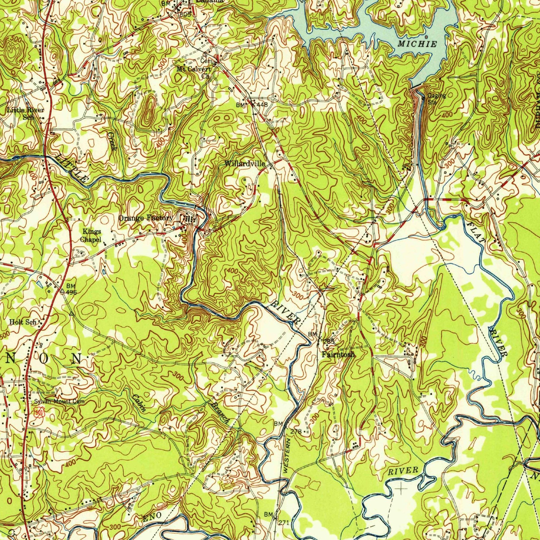
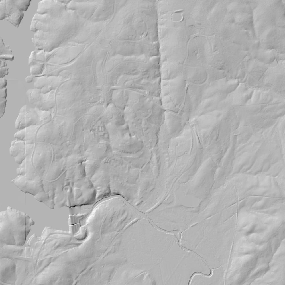
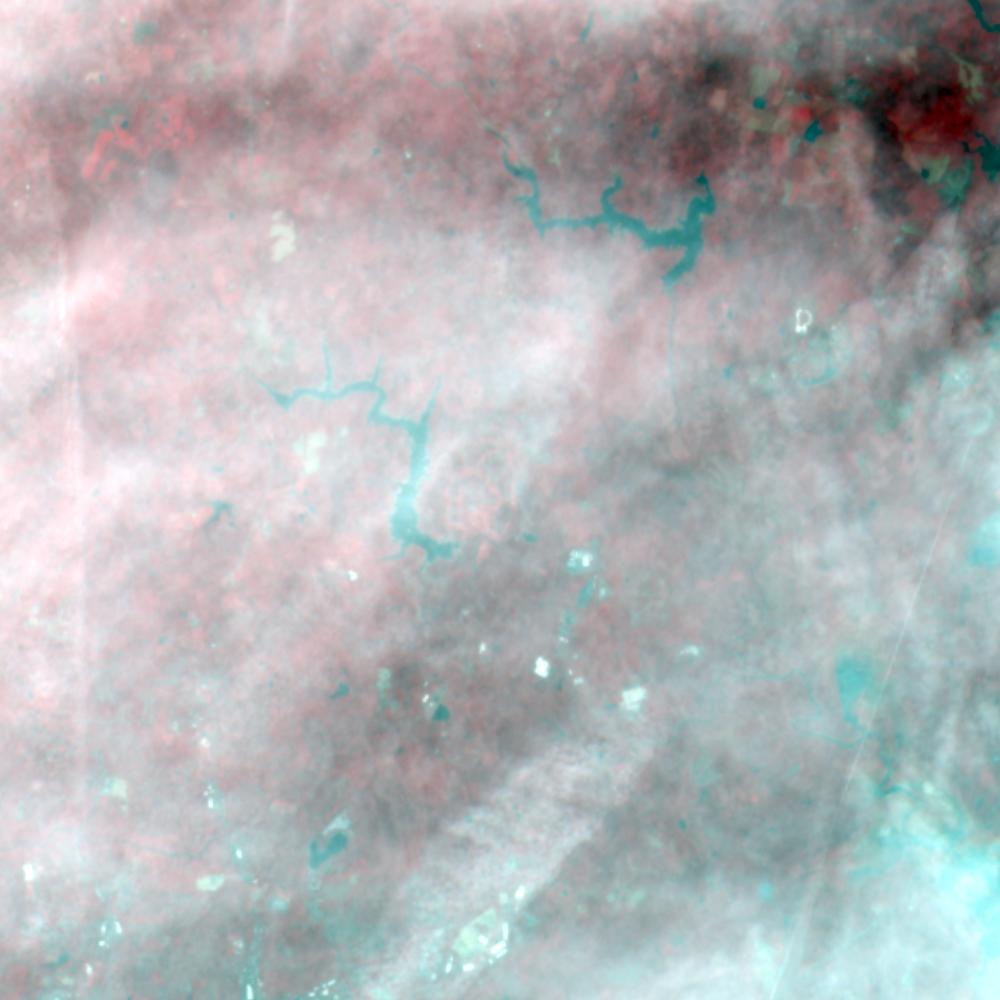
Aerial photographs, historical topographic surveys, lidar elevation, and ground imagery gathered for this place.


How to get more images
- USGS EarthExplorer (earthexplorer.usgs.gov, free account): Aerial Photo Single Frames, NHAP (1980–89, incl. color-infrared) and NAPP (1987–2007) covering this site. Medium-resolution scans download free; high-resolution film scans cost about $30 per frame (2–3 weeks).
- USDA FSA Aerial Photography Field Office (APFO, Salt Lake City): historic county-wide farm-program photos from the 1930s on, ordered by email/phone; scans run roughly $20–$50 per frame (check current price list).
- National Archives (College Park, Cartographic Branch): 1930s–1950s USDA/AAA aerials; free to view in person, reproductions through NARA's order service or approved vendors.
- State Archives of North Carolina and NC OneMap historic imagery.
- HistoricAerials.com (NETR Online): stitched historic aerials and topos by address; downloads/prints priced per image (often about $30–$80 for personal use; commercial licensing extra).
- Commercial satellite (Maxar/Vantor, Airbus, Planet via resellers such as SkyWatch or Apollo Mapping): archive scenes from ~$10–$25/km² with small minimum orders; new tasking costs more.
- Drone flight: a local FAA Part 107 pilot typically charges about $200–$600 for a basic photo/video shoot of a parcel; ask the landowner or site manager for permission first.
This sample report was researched from public records and checked against its sources. Historical research, not title or boundary advice.
← All 50 states, places & stories · Original 50 Picks Archive · Start your own Land File