50 States, 50 Places & 50 Stories › Montana
Montana sample place
Otter Creek School Section 16 & Traded Federal Coal Block
Parcel at a glance
The Otter Creek School Section 16 parcel sits along Otter Creek southeast of Ashland in Powder River County, Township 4 South, Range 45 East, Section 16, Principal Meridian Montana. Owned by the State of Montana for the Common School trust and managed by the Department of Natural Resources and Conservation (DNRC), this parcel includes 532.7 acres of state-owned grazing surface underlain by a full section of state-owned coal.
The land before the survey
For centuries, the grassy valleys and ponderosa-pine ridges of the Tongue River and Powder River basins were prime buffalo-hunting grounds of the Tsitsistas (Northern Cheyenne), Lakota, and Apsáalooke (Crow) Nations, recognized in the 1851 and 1868 Treaties of Fort Laramie. Federal deputy surveyors extended the Principal Meridian Montana across the high plains of Powder River County in the late 19th century, laying out townships over thick beds of low-sulfur sub-bituminous coal in the Fort Union Formation.
First owners and the paper trail
Title to Section 16 vested directly in the State of Montana upon statehood on November 8, 1889. Meanwhile, Congress in 1864 granted the odd-numbered sections across this corridor to the Northern Pacific Railroad, creating a checkerboard of state, federal, and private ranching surface and mineral estates. Under the 1996 federal agreement that halted the proposed New World gold mine near Yellowstone National Park, Congress in the FY 1998 Interior Appropriations Act (Pub. L. 105-83, § 503) offered Montana either $10 million or the federal coal in Otter Creek Tracts 1–3; Montana chose the coal, and the Land Board approved the transfer on May 20, 2002—consolidating a massive state-owned coal block around Section 16.
School-trust connection
Under the Omnibus Enabling Act of February 22, 1889 (25 Stat. 676) and Article X of the Montana Constitution, the State Board of Land Commissioners is bound by a fiduciary duty to secure the full market value of school trust estates for public education, while the Montana Department of Environmental Quality (DEQ) and federal regulators administer environmental and rail reviews under the Montana Environmental Policy Act (MEPA) and Surface Transportation Board rules. On March 18, 2010, the Land Board voted 3–2 to lease the Otter Creek state coal tracts to Arch Coal for roughly $85.8 million in bonus payments. After the Montana Supreme Court decided the challenge to the leases in Northern Plains Resource Council v. Montana Board of Land Commissioners, 2012 MT 234 ([TO CONFIRM]: one-line statement of the holding from the opinion), Arch Coal filed for Chapter 11 in January 2016, suspended permitting in 2016 and allowed the state coal leases to expire at the end of their 10-year primary term in 2020 without building a mine—leaving the $85.8 million bonus in the school trust and the unmined coal in state ownership.
What records survive and where to look
- State Trust, Court & Permit Files: Montana DNRC's Trust Land Management GIS layer, the 2010 Land Board minutes, the Montana Supreme Court opinion (2012 MT 234), and DEQ's 2012 mine-permit scoping reports are all public online.
- Federal Coal, Rail & Cadastral Records: USGS coal resource reports (1976, 1979), Surface Transportation Board Tongue River Railroad filings, and statewide Montana Cadastral parcel histories survive online.
What we are still confirming
- The current Montana DNRC surface grazing lease number and lessee history for the 532.7-acre surface estate of Section 16, T4S, R45E, and the exact deed citation for the ~107-acre non-state surface cutout inside the section.
Historical & landscape images
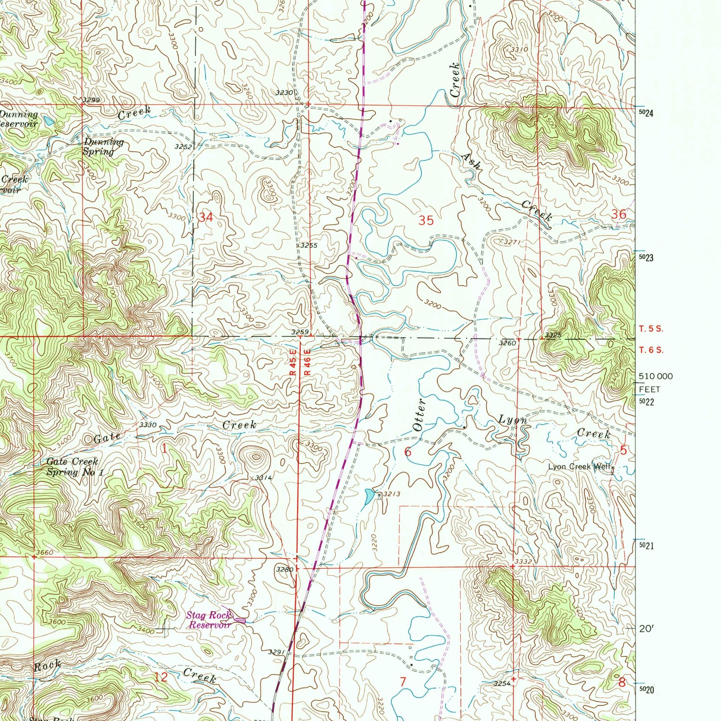
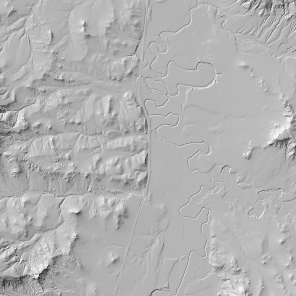
Aerial photographs, historical topographic surveys, lidar elevation, and ground imagery gathered for this place.

How to get more images
- USGS EarthExplorer (earthexplorer.usgs.gov, free account): Aerial Photo Single Frames, NHAP (1980–89, incl. color-infrared) and NAPP (1987–2007) covering this site. Medium-resolution scans download free; high-resolution film scans cost about $30 per frame (2–3 weeks).
- USDA FSA Aerial Photography Field Office (APFO, Salt Lake City): historic county-wide farm-program photos from the 1930s on, ordered by email/phone; scans run roughly $20–$50 per frame (check current price list).
- National Archives (College Park, Cartographic Branch): 1930s–1950s USDA/AAA aerials; free to view in person, reproductions through NARA's order service or approved vendors.
- the Montana State Archives / state historical society and the state university map library (ask about historic aerial prints and scans); the state GIS clearinghouse for lidar.
- HistoricAerials.com (NETR Online): stitched historic aerials and topos by address; downloads/prints priced per image (often about $30–$80 for personal use; commercial licensing extra).
- Commercial satellite (Maxar/Vantor, Airbus, Planet via resellers such as SkyWatch or Apollo Mapping): archive scenes from ~$10–$25/km² with small minimum orders; new tasking costs more.
- Drone flight: a local FAA Part 107 pilot typically charges about $200–$600 for a basic photo/video shoot of a parcel; ask the landowner or site manager for permission first.
This sample report was researched from public records and checked against its sources. Historical research, not title or boundary advice.
← All 50 states, places & stories · Original 50 Picks Archive · Start your own Land File