50 States, 50 Places & 50 Stories › Arizona
Arizona sample place
Fort Verde & Montezuma Well Pioneer Ditch Edge
Parcel at a glance
The Fort Verde and Montezuma Well Pioneer Ditch corridor lies along the Verde River and Beaver Creek in Yavapai County, Township 14 North and Township 15 North, Range 5 East, Sections 31 and 36, Gila and Salt River Meridian. Sitting between 3,100 and 3,500 feet of elevation in the Verde Valley, these public state-park and national-monument lands showcase 19th-century homestead irrigation ditches built directly along prehistoric stone-lined canals, right next door to an active Arizona State Trust section.
The land before the survey
More than a thousand years ago, the Sinagua people engineered an extraordinary irrigation network along Beaver Creek and the Verde River, channeling mineral-rich spring water from Montezuma Well through miles of travertine-lined ditches to water corn, beans, and squash. In later centuries, the watershed was the homeland of the Yavapai (Wipukpa and Tolkepaya) and Dilzhe'e (Tonto Apache) peoples. In 1865, U.S. troops established Camp Lincoln (later Fort Verde) to protect pioneer farmers, and in the 1870s GLO deputy surveyors ran the Gila and Salt River Meridian grid across the valley.
First owners and the paper trail
Even before the Fort Verde military reserve was formally abandoned in 1891 and opened to interior disposal, settlers filed Homestead (1862) and Desert Land Act (1877) entries along Beaver Creek and the Verde River bottoms. At Montezuma Well, Wales and Jennie Arnold (1870) and then William B. Back (who acquired the claim in 1888 and patented the Back Ranch in 1907) cleaned out and used the prehistoric canal from the Well outlet, filing on its water rights; the National Park Service acquired the Back Ranch in 1947, and Fort Verde's surviving buildings became a state historic park.
School-trust connection
Because so much of Arizona was already tied up in federal forest reserves, Indian reservations, or arid desert when statehood arrived, Section 24 of the Arizona Enabling Act of June 20, 1910 (36 Stat. 557) granted the state four school sections in every township—Sections 2, 16, 32, and 36—doubling the standard two-section grant. Section 36 immediately adjoining the river corridor remains active trust land managed by the Arizona State Land Department for K–12 public schools.
What records survive and where to look
- County GIS & surveys: Yavapai County's Interactive GIS publishes parcel histories, assessor data, and downloadable PDFs of recorded Results of Survey and subdivision plats.
- Water & federal land records: The Arizona Department of Water Resources (ADWR) provides online scans of well logs and Verde River watershed adjudication filings; the BLM GLO portal holds the 1870s survey field notes, military reserve plats, and homestead patents; and pre-1900 Yavapai County deeds are digitized on FamilySearch.
What we are still confirming
- The exact 1880s Yavapai County Miscellaneous Record book and page where the first water appropriation notice for William Back's Montezuma Well ditch was recorded prior to Arizona's 1919 surface-water code.
- The current Arizona State Land Department grazing lease number and lessee history for adjoining Section 36.
Historical & landscape images
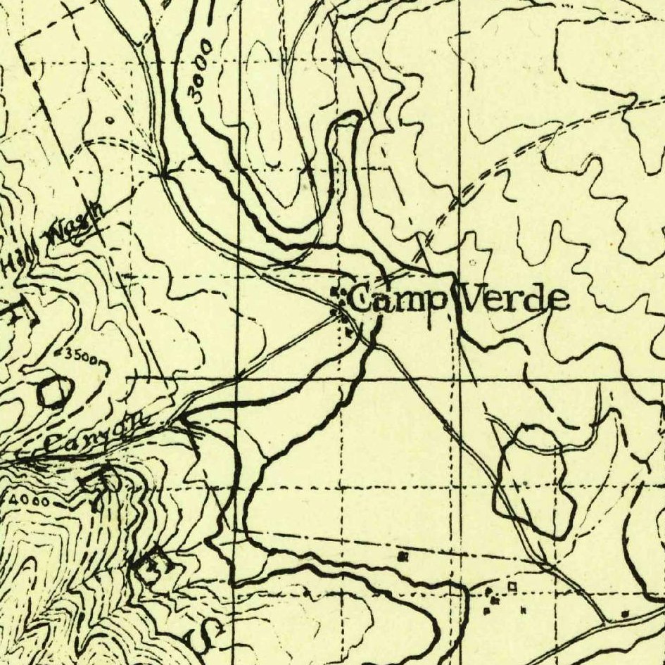
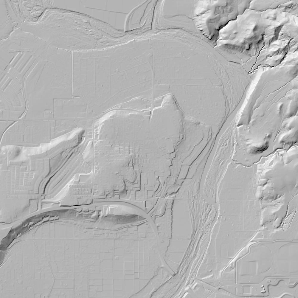
Aerial photographs, historical topographic surveys, lidar elevation, and ground imagery gathered for this place.

How to get more images
- USGS EarthExplorer (earthexplorer.usgs.gov, free account): Aerial Photo Single Frames, NHAP (1980–89, incl. color-infrared) and NAPP (1987–2007) covering this site. Medium-resolution scans download free; high-resolution film scans cost about $30 per frame (2–3 weeks).
- USDA FSA Aerial Photography Field Office (APFO, Salt Lake City): historic county-wide farm-program photos from the 1930s on, ordered by email/phone; scans run roughly $20–$50 per frame (check current price list).
- National Archives (College Park, Cartographic Branch): 1930s–1950s USDA/AAA aerials; free to view in person, reproductions through NARA's order service or approved vendors.
- the Arizona State Archives / state historical society and the state university map library (ask about historic aerial prints and scans); the state GIS clearinghouse for lidar.
- HistoricAerials.com (NETR Online): stitched historic aerials and topos by address; downloads/prints priced per image (often about $30–$80 for personal use; commercial licensing extra).
- Commercial satellite (Maxar/Vantor, Airbus, Planet via resellers such as SkyWatch or Apollo Mapping): archive scenes from ~$10–$25/km² with small minimum orders; new tasking costs more.
- Drone flight: a local FAA Part 107 pilot typically charges about $200–$600 for a basic photo/video shoot of a parcel; ask the landowner or site manager for permission first.
This sample report was researched from public records and checked against its sources. Historical research, not title or boundary advice.
← All 50 states, places & stories · Original 50 Picks Archive · Start your own Land File