50 States, 50 Places & 50 Stories › West Virginia
West Virginia sample place
Holly River / Kumbrabow Tract (School Commissioner Chancery Deed)
Parcel at a glance
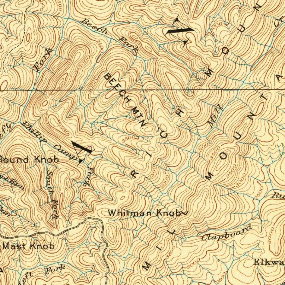
The Holly River and Kumbrabow State Forest mountain corridor sits along the Left Fork of the Holly River and Mill Creek on the western Allegheny Plateau in Webster and Randolph Counties, inside overlapping 1780s Virginia Pioneer Settlement Surveys and 1790s Speculator Patents. Owned today by the State of West Virginia (Division of Natural Resources), this hardwood forest and coal-bearing mountain tract shows how West Virginia's public school fund untangled chaotic colonial metes-and-bounds titles.
The land before the survey
For thousands of years, the steep sandstone ridges, hemlock gorges, and mountain gaps connecting the Tygart Valley and Elk River watersheds were seasonal hunting grounds and travel trails of the Shawnee, Cherokee, Delaware (Lenape), and Haudenosaunee Nations. Carved out of Virginia during the Civil War in 1863, West Virginia has no federal rectangular survey grid; every boundary traces back to irregular Virginia metes-and-bounds warrants measured in poles and marked corner trees.
First owners and the paper trail
This mountain watershed illustrates the great Appalachian title clash between frontier settlers and eastern speculators. In the 1770s and 1780s, pioneer families cleared creek-bottom improvements and obtained 400-acre Virginia "Corn Rights" (Certificates of Settlement and Preemption). Then in the 1790s, Philadelphia, Baltimore, and Richmond speculators bought up huge blocks of cheap Virginia Treasury Warrants and patented giant 50,000- to 200,000-acre "Leviathan" paper surveys right over the settlers' farms and the surrounding mountains without setting foot on the ground. In the late 19th and early 20th centuries, lumber and coal syndicates severed the subsurface Coal and Natural Gas estates from the surface timberlands before the federal Resettlement Administration and the State of West Virginia acquired the cutover tracts in the 1930s to create Holly River State Park and Kumbrabow State Forest.
School-trust connection
Nowhere else in the East did the public school fund play such a direct role in clearing land titles. Under the 1863 West Virginia Constitution, the state created an Irreducible School Fund fed by forfeited and delinquent lands, and the 1872 Constitution set up county Commissioners of School Lands to sell those tracts ([TO CONFIRM]: exact constitutional sections). Across Randolph and Webster Counties, the Commissioner of School Lands filed Circuit Court Chancery suits to break up the forfeited 1790s Leviathan grants and auctioned off clear State School Land Deeds—simultaneously settling local farm and timber titles and funding West Virginia's public schools.
What records survive and where to look
- Dual Surface/Mineral GIS & Sims Index: The WV Property Viewer GIS maps every surface parcel statewide and links directly to county tax cards that list separate tax accounts for Surface Estates versus Severed Coal, Oil, and Gas Estates, while the State Auditor's online Sims Index to Land Grants indexes every Virginia and West Virginia patent.
- Chancery Books & Coal Maps: Randolph (from 1787) and Webster (from 1860) County Deed Books and Commissioner of School Lands Chancery Books are digitized on FamilySearch alongside West Virginia Geological and Economic Survey (WVGES) coal-seam maps.
What we are still confirming
- The exact Randolph and Webster County Circuit Court Chancery file and School Land Commissioner Deed Book and Page citation that partitioned the forfeited 1790s Treasury Warrant tract, and the 1900s coal severance deed book and page still governing the subsurface mineral account.
Historical & landscape images
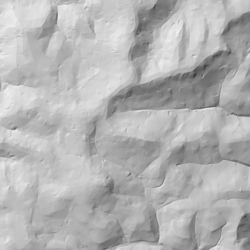
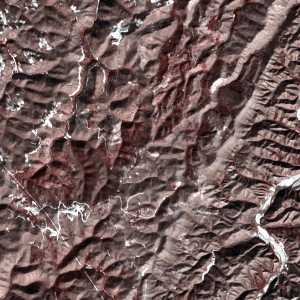
Aerial photographs, historical topographic surveys, lidar elevation, and ground imagery gathered for this place.
How to get more images
- USGS EarthExplorer (earthexplorer.usgs.gov, free account): Aerial Photo Single Frames, NHAP (1980–89, incl. color-infrared) and NAPP (1987–2007) covering this site. Medium-resolution scans download free; high-resolution film scans cost about $30 per frame (2–3 weeks).
- USDA FSA Aerial Photography Field Office (APFO, Salt Lake City): historic county-wide farm-program photos from the 1930s on, ordered by email/phone; scans run roughly $20–$50 per frame (check current price list).
- National Archives (College Park, Cartographic Branch): 1930s–1950s USDA/AAA aerials; free to view in person, reproductions through NARA's order service or approved vendors.
- the West Virginia State Archives / state historical society and the state university map library (ask about historic aerial prints and scans); the state GIS clearinghouse for lidar.
- HistoricAerials.com (NETR Online): stitched historic aerials and topos by address; downloads/prints priced per image (often about $30–$80 for personal use; commercial licensing extra).
- Commercial satellite (Maxar/Vantor, Airbus, Planet via resellers such as SkyWatch or Apollo Mapping): archive scenes from ~$10–$25/km² with small minimum orders; new tasking costs more.
- Drone flight: a local FAA Part 107 pilot typically charges about $200–$600 for a basic photo/video shoot of a parcel; ask the landowner or site manager for permission first.
This sample report was researched from public records and checked against its sources. Historical research, not title or boundary advice.
← All 50 states, places & stories · Original 50 Picks Archive · Start your own Land File