50 States, 50 Places & 50 Stories › Alabama
Alabama sample place
Monte Sano State Park & Hurricane Valley Bench
Parcel at a glance
Monte Sano State Park and the Hurricane Valley Bench sit just east of Huntsville in Madison County, Township 3 South, Range 1 East, Sections 16, 20, and 21, Huntsville Meridian. Rising past 1,600 feet of elevation, the plateau drops over limestone bluffs, sinkholes, and cave springs into the valley below. Today the core mountain tract is public park land managed by the Alabama Department of Conservation and Natural Resources, assembled from 19th-century resort lots, railroad grades, and mountain timber parcels.
The land before the survey
Before American surveyors arrived, the Tennessee River bend and Monte Sano ("Mountain of Health") lay along the borderlands of the Cherokee and Chickasaw Nations. Following the Chickasaw and Cherokee cessions of 1805–1806, the Mississippi Territory created Madison County in 1808. Beginning in 1807, Surveyor Thomas Freeman ran the Huntsville Meridian from the Tennessee State Line southward—creating the oldest rectangular Public Land Survey System (PLSS) grid in the Deep South.
First owners and the paper trail
Beginning in 1809, the federal land office (initially at Nashville, then at Huntsville) sold the fertile limestone valley bottoms and lower benches through Mississippi Territory cash and credit entries, while the steep upper slopes of Monte Sano remained in federal hands longer before passing into private ownership for summer homes and timber. In 1887, the North Alabama Improvement Company subdivided a mountaintop tract to build the ornate 233-room Monte Sano Hotel and a standard-gauge dummy railroad that climbed the bluff from Huntsville. After the hotel closed in 1900, the City of Huntsville and the State of Alabama acquired the mountain holdings in the 1930s, when the Civilian Conservation Corps (CCC) built the stone cabins, trails, and amphitheater that opened as Monte Sano State Park in 1938.
School-trust connection
Under Section 6 of the Alabama Enabling Act of March 2, 1819 (3 Stat. 489), Congress granted Section 16 in every township to the inhabitants of the township for the use of schools. Section 16 of Township 3 South, Range 1 East lies near the park's core sections (its exact position on the plateau is [TO CONFIRM]), illustrating how rugged mountain school sections produced very different revenue from cotton-bottom school sections just a few miles away.
What records survive and where to look
- Federal survey & patent files: Thomas Freeman's 1807–1809 township plats, field notes, and early Mississippi Territory cash patents are online at the BLM General Land Office (GLO) portal.
- County courthouse chain: Because Madison County escaped Civil War courthouse destruction, unbroken Deed Books, Tract Books, and Probate files back to 1810 are digitized on FamilySearch.
- Modern GIS & park files: Madison County's Tax Assessor and GIS portal maps current parcel boundaries, and the Alabama Department of Archives and History holds the 1930s CCC camp records.
What we are still confirming
- The exact Madison County Deed Book and Page numbers for the 1930s conveyances transferring the former Monte Sano Hotel and railroad right-of-way parcels to the City of Huntsville and the State of Alabama.
- The exact 19th-century township school-trustee lease and sale dates for Section 16, T3S, R1E.
Historical & landscape images
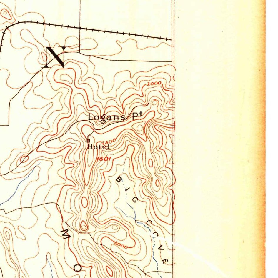
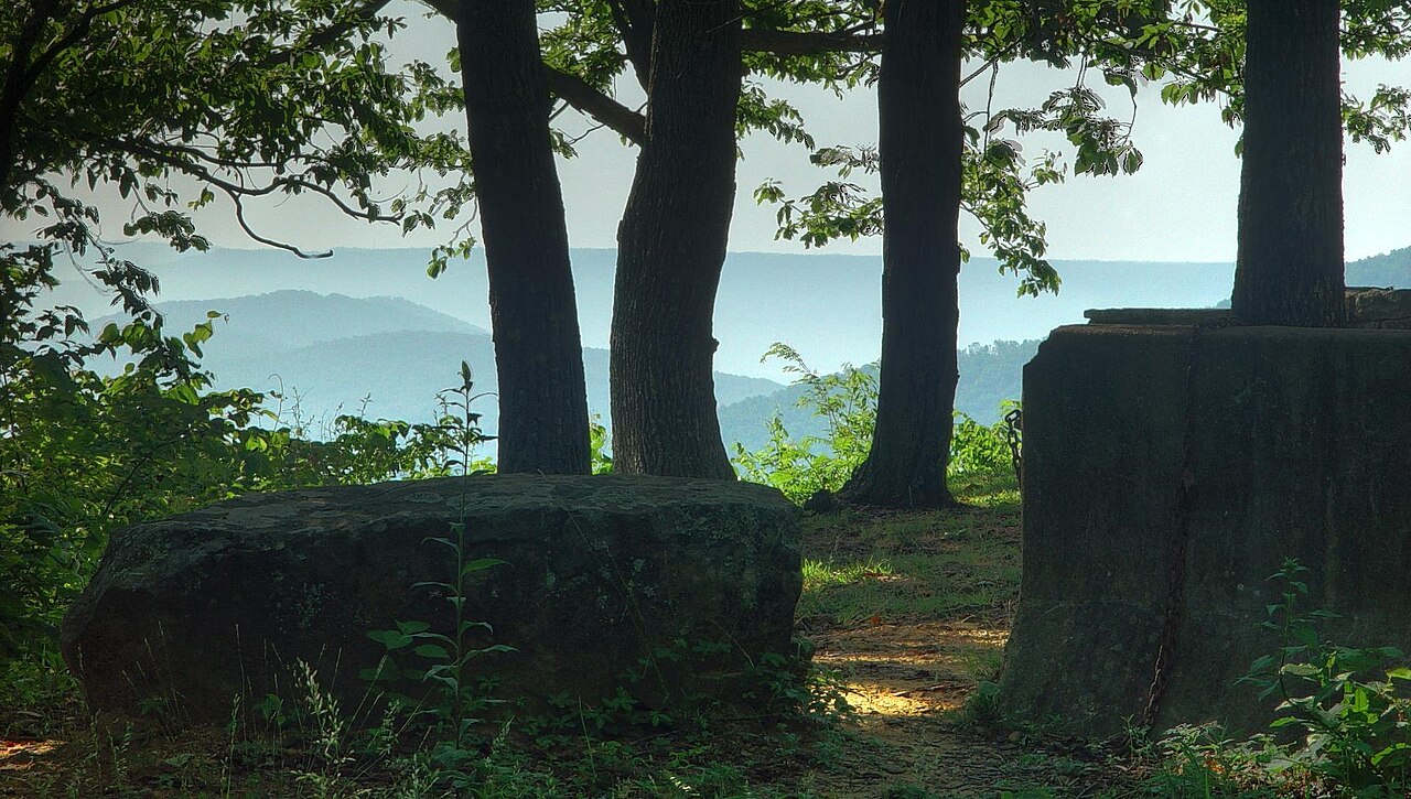
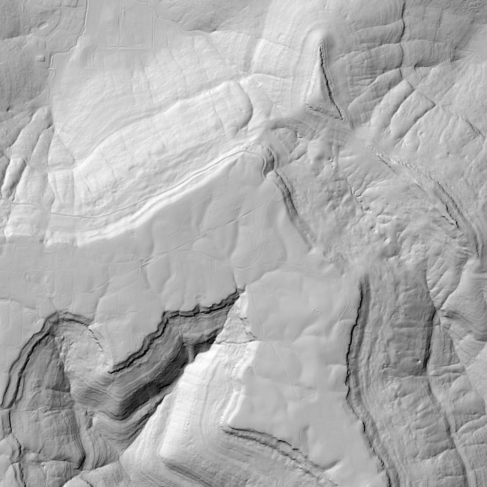
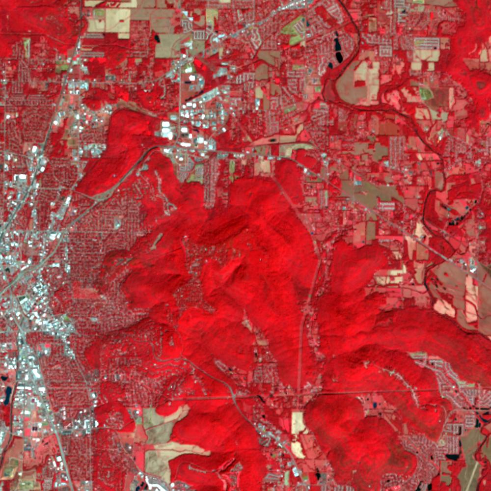
Aerial photographs, historical topographic surveys, lidar elevation, and ground imagery gathered for this place.
How to get more images
- USGS EarthExplorer (earthexplorer.usgs.gov, free account): Aerial Photo Single Frames, NHAP (1980–89, incl. color-infrared) and NAPP (1987–2007) covering this site. Medium-resolution scans download free; high-resolution film scans cost about $30 per frame (2–3 weeks).
- USDA FSA Aerial Photography Field Office (APFO, Salt Lake City): historic county-wide farm-program photos from the 1930s on, ordered by email/phone; scans run roughly $20–$50 per frame (check current price list).
- National Archives (College Park, Cartographic Branch): 1930s–1950s USDA/AAA aerials; free to view in person, reproductions through NARA's order service or approved vendors.
- the Alabama State Archives / state historical society and the state university map library (ask about historic aerial prints and scans); the state GIS clearinghouse for lidar.
- HistoricAerials.com (NETR Online): stitched historic aerials and topos by address; downloads/prints priced per image (often about $30–$80 for personal use; commercial licensing extra).
- Commercial satellite (Maxar/Vantor, Airbus, Planet via resellers such as SkyWatch or Apollo Mapping): archive scenes from ~$10–$25/km² with small minimum orders; new tasking costs more.
- Drone flight: a local FAA Part 107 pilot typically charges about $200–$600 for a basic photo/video shoot of a parcel; ask the landowner or site manager for permission first.
This sample report was researched from public records and checked against its sources. Historical research, not title or boundary advice.
← All 50 states, places & stories · Original 50 Picks Archive · Start your own Land File