50 States, 50 Places & 50 Stories › Arkansas
Arkansas sample place
Louisiana Purchase Initial Point & 1812 Bounty / Swamp Tract
Parcel at a glance
The Louisiana Purchase Initial Point State Park and its surrounding baseline sections sit in a headwater tupelo-and-cypress swamp where Monroe, Lee, and Phillips Counties meet at Township 1 South, Range 1 West and Range 1 East, Sections 1 and 16, Fifth Principal Meridian. Protected today as a 37.5-acre Arkansas State Park around a granite survey marker reachable by boardwalk, this is the exact spot where the survey grid for Arkansas, Missouri, Iowa, Minnesota, North Dakota, and eastern South Dakota began in 1815.
The land before the survey
For centuries, this wetland basin between the White and St. Francis Rivers lay within the homelands of the Quapaw and Osage Nations. Following the 1803 Louisiana Purchase and the 1808 Treaty of Fort Clark with the Osage, Congress set aside two million acres between the Arkansas and St. Francis Rivers as Military Bounty land for War of 1812 soldiers. On October 27, 1815, Deputy Surveyors Prospect K. Robbins (surveying north from the mouth of the Arkansas River) and Joseph C. Brown (surveying west from the mouth of the St. Francis River) set out into the wilderness. Their lines intersected in this swamp on November 10, 1815, where they set a post and marked two sweetgum witness trees as the Initial Point of the Fifth Principal Meridian.
First owners and the paper trail
As soon as the surrounding townships were subdivided, soldiers who served in the War of 1812 drew 160-acre Military Bounty Land Warrants by lottery on the drier ridges, though most veterans quickly sold their patents to eastern land speculators. Because the Initial Point itself sat in deep seasonal overflow water, the immediate swamp quarter-sections were bypassed by homesteaders and granted by Congress to the State of Arkansas under the Swamp Land Act of September 28, 1850 (9 Stat. 519). Arkansas sold the swamp tracts to timber operators, many of which forfeited back to the state for unpaid taxes during the 1930s Great Depression before the 37.5-acre site became a state park in 1961 (the Daughters of the American Revolution had dedicated the granite monument in 1926; [TO CONFIRM]: who conveyed the park land).
School-trust connection
Under the act supplementary to Arkansas's admission, approved June 23, 1836 (5 Stat. 58) and accepted by the General Assembly on October 18, 1836, Congress granted Section 16 in every township for the use of public schools. In these baseline townships, the local county school commissioners auctioned off the Section 16 tracts in the 1840s and 1850s to create township school funds.
What records survive and where to look
- Original 1815 survey notes: Prospect Robbins's and Joseph Brown's handwritten 1815 field notes (including the calls for the two sweetgum witness trees) and the War of 1812 bounty patents are free online at the BLM GLO portal.
- State land & tax-deed books: The Arkansas Commissioner of State Lands hosts digitized Original Entry Tract Books and 1930s State Tax-Forfeiture Deed registers, supplemented by the site's 1993 National Historic Landmark nomination file.
What we are still confirming
- Because pre-1850 deed books in Monroe County have early gaps, we are checking the Arkansas State Land Office Swamp Land Patent volumes to confirm the exact 1850s state patent dates and grantees for the four quarter-sections meeting at the Initial Point monument.
Historical & landscape images
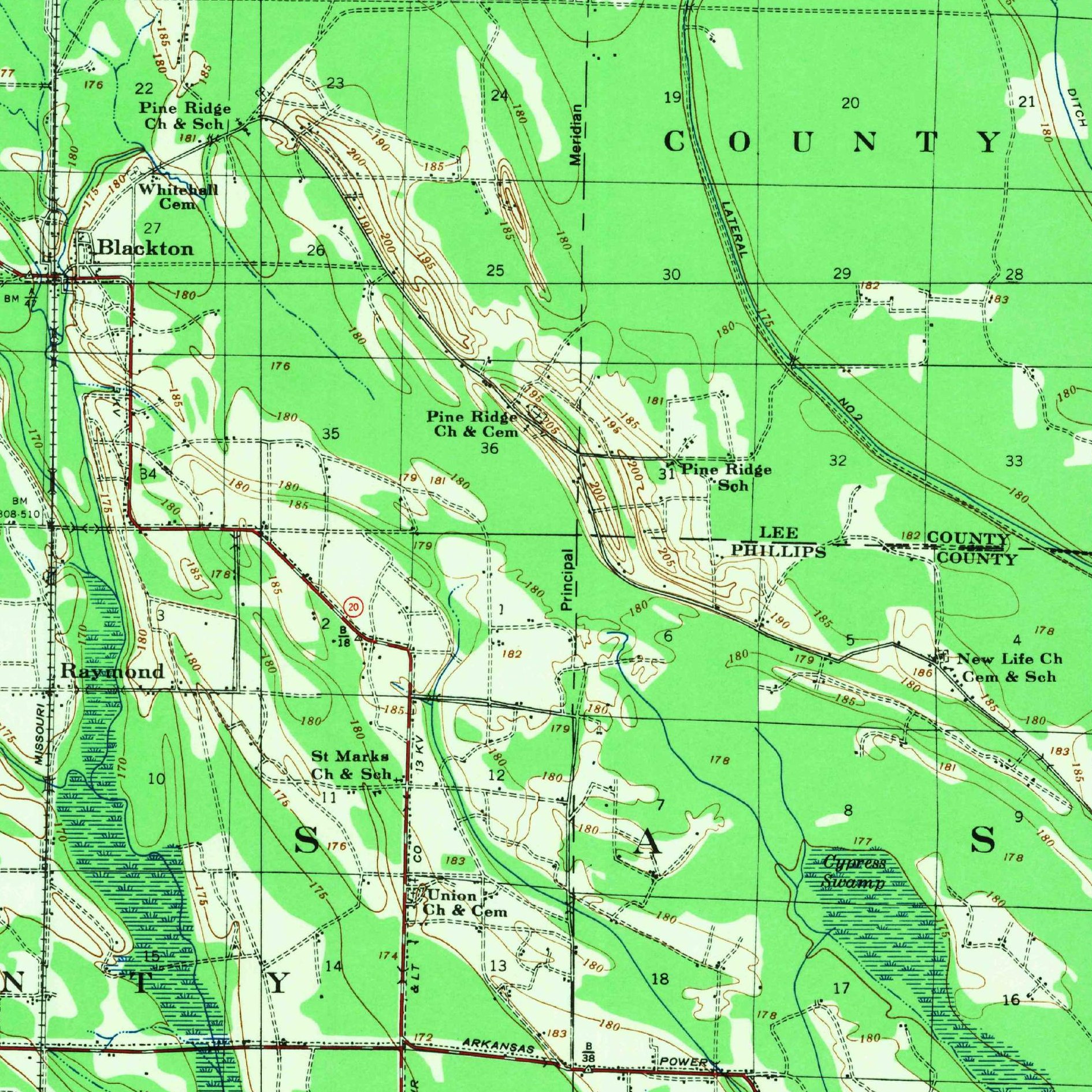
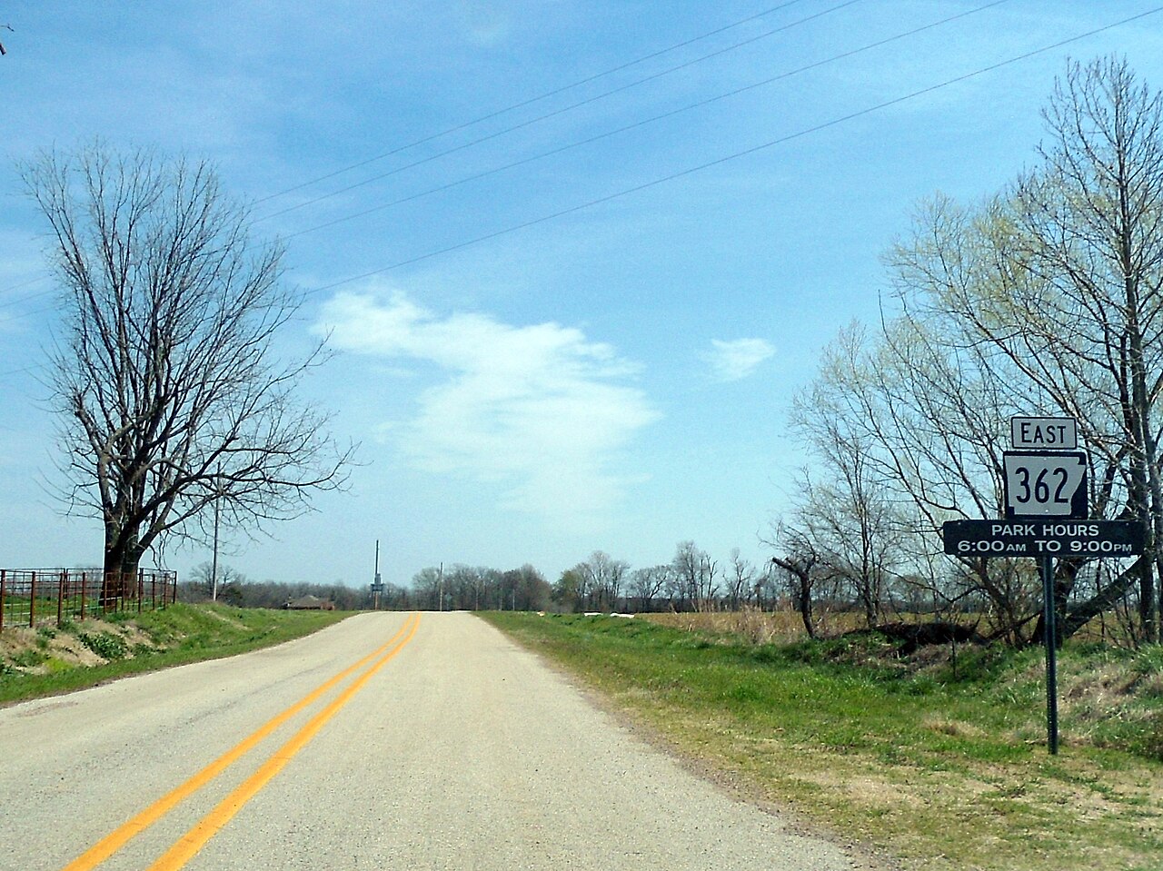
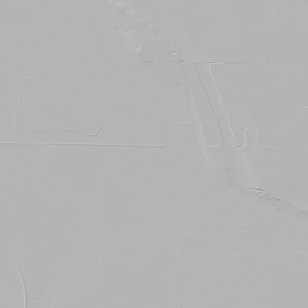
Aerial photographs, historical topographic surveys, lidar elevation, and ground imagery gathered for this place.
How to get more images
- USGS EarthExplorer (earthexplorer.usgs.gov, free account): Aerial Photo Single Frames, NHAP (1980–89, incl. color-infrared) and NAPP (1987–2007) covering this site. Medium-resolution scans download free; high-resolution film scans cost about $30 per frame (2–3 weeks).
- USDA FSA Aerial Photography Field Office (APFO, Salt Lake City): historic county-wide farm-program photos from the 1930s on, ordered by email/phone; scans run roughly $20–$50 per frame (check current price list).
- National Archives (College Park, Cartographic Branch): 1930s–1950s USDA/AAA aerials; free to view in person, reproductions through NARA's order service or approved vendors.
- the Arkansas State Archives / state historical society and the state university map library (ask about historic aerial prints and scans); the state GIS clearinghouse for lidar.
- HistoricAerials.com (NETR Online): stitched historic aerials and topos by address; downloads/prints priced per image (often about $30–$80 for personal use; commercial licensing extra).
- Commercial satellite (Maxar/Vantor, Airbus, Planet via resellers such as SkyWatch or Apollo Mapping): archive scenes from ~$10–$25/km² with small minimum orders; new tasking costs more.
- Drone flight: a local FAA Part 107 pilot typically charges about $200–$600 for a basic photo/video shoot of a parcel; ask the landowner or site manager for permission first.
This sample report was researched from public records and checked against its sources. Historical research, not title or boundary advice.
← All 50 states, places & stories · Original 50 Picks Archive · Start your own Land File