50 States, 50 Places & 50 Stories › Wyoming
Wyoming sample place
Trail End / Kendrick Ranch & Bighorn Split-Estate / Sec. 16 Edge
Parcel at a glance
The Trail End State Historic Site and its adjoining Big Goose Creek foothill ranch sections sit at the eastern base of the Bighorn Mountains in Sheridan County, Township 56 North, Range 84 West and Township 55 North, Range 85 West, Sections 16 and 27, Sixth Principal Meridian. Anchored on the public state historic site created by cattleman and U.S. Senator John B. Kendrick—and bordering an active state school-trust section—this property pairs Wyoming's pioneering 1890 water-right certificate system with a federal split-estate coal reservation.
The land before the survey
For centuries before American settlement, the lush grass benches and clear mountain trout streams along the eastern slope of the Bighorn Mountains (Baahpuuo to the Crow) were prized buffalo-hunting grounds of the Apsáalooke (Crow), Lakota, Tsitsistas (Northern Cheyenne), and Hinono'eino (Arapaho) Nations along the Bozeman Trail corridor, recognized in the 1851 and 1868 Treaties of Fort Laramie. Following the military campaigns of the late 1870s, General Land Office (GLO) deputy surveyors extended the Sixth Principal Meridian grid across Sheridan County in the early 1880s.
First owners and the paper trail
Beginning in the 1880s, pioneer ranchers filed federal Homestead (1862) and Desert Land Act (1877) entries along the irrigated bottomlands of Big Goose and Little Goose Creeks, while the drier upland grazing ridges were patented after 1916 under the 640-acre Stock-Raising Homestead Act (SRHA)—where the United States granted the surface to the rancher but reserved all subsurface coal and other minerals to the federal government. To end violent frontier water disputes, Territorial Engineer Elwood Mead drafted the landmark water provisions of the 1890 Wyoming Constitution, creating the State Board of Control to map every stream and issue numbered Certificates of Appropriation tied directly to the irrigated acreage. Texas trail driver John B. Kendrick (who trailed cattle north to Wyoming in 1879 and later served as Governor and U.S. Senator) built the Trail End estate in Sheridan between 1908 and 1913 while operating vast Powder River Basin ranches before the property became a Wyoming State Historic Site.
School-trust connection
Under Section 4 of the Wyoming Admission Act of July 10, 1890 (26 Stat. 222), Congress granted Sections 16 and 36 in every township to the State of Wyoming for the support of common schools ([TO CONFIRM]: minimum sale price). Section 16 in this foothill corridor remains active trust land managed by the Wyoming Office of State Lands and Investments (OSLI), generating both surface grazing-lease rent and subsurface mineral revenue for Wyoming public schools.
What records survive and where to look
- County GIS with Free Direct Deed & Plat PDFs: Sheridan County's Greenwood Mapping GIS portal is one of the most open local systems in the West, allowing any user to click a parcel polygon and open free scanned PDFs of recorded Warranty Deeds, Subdivision Plats, and Corner Records right in the browser.
- 1890 Water Certificates, Trust GIS & BLM Patents: The Wyoming State Engineer's Office (SEO e-Permit) portal hosts free scans of 1880s–1900s Board of Control water certificates and well logs; the OSLI GIS viewer maps all state school-trust surface and mineral leases; and BLM GLO holds the homestead and split-estate SRHA patents.
What we are still confirming
- The exact Wyoming Board of Control Certificate Book and Page number and territorial priority date for the pioneer Big Goose Creek irrigation ditch serving the terrace lots, and the current OSLI grazing lease number on adjoining Section 16.
Historical & landscape images
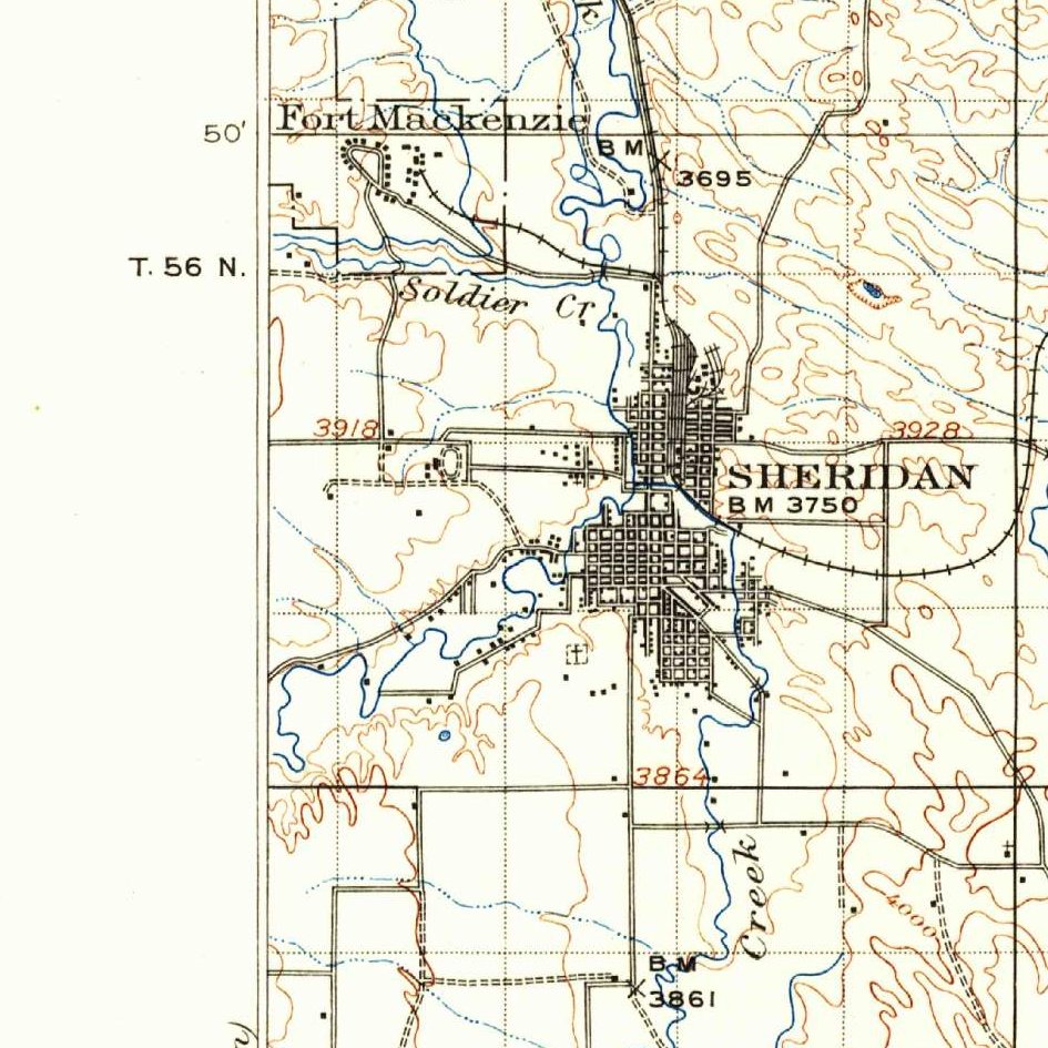
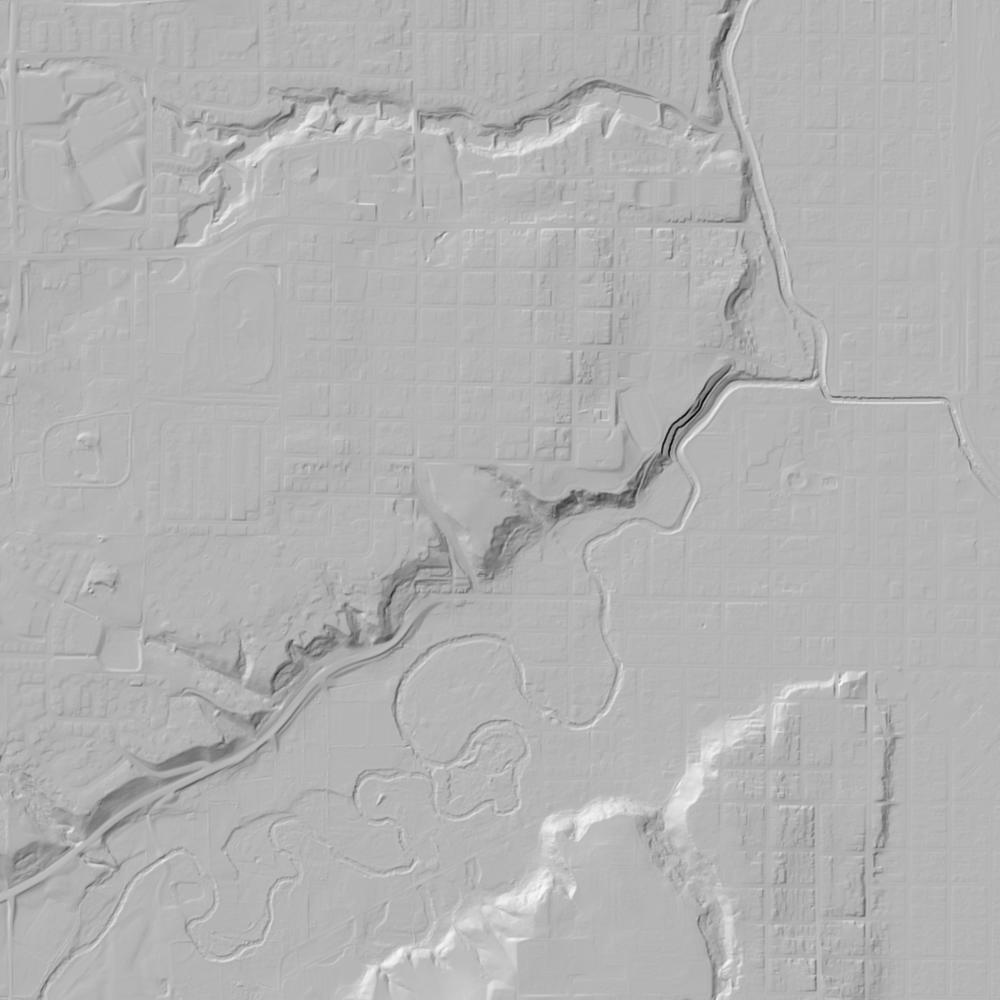
Aerial photographs, historical topographic surveys, lidar elevation, and ground imagery gathered for this place.

How to get more images
- USGS EarthExplorer (earthexplorer.usgs.gov, free account): Aerial Photo Single Frames, NHAP (1980–89, incl. color-infrared) and NAPP (1987–2007) covering this site. Medium-resolution scans download free; high-resolution film scans cost about $30 per frame (2–3 weeks).
- USDA FSA Aerial Photography Field Office (APFO, Salt Lake City): historic county-wide farm-program photos from the 1930s on, ordered by email/phone; scans run roughly $20–$50 per frame (check current price list).
- National Archives (College Park, Cartographic Branch): 1930s–1950s USDA/AAA aerials; free to view in person, reproductions through NARA's order service or approved vendors.
- the Wyoming State Archives / state historical society and the state university map library (ask about historic aerial prints and scans); the state GIS clearinghouse for lidar.
- HistoricAerials.com (NETR Online): stitched historic aerials and topos by address; downloads/prints priced per image (often about $30–$80 for personal use; commercial licensing extra).
- Commercial satellite (Maxar/Vantor, Airbus, Planet via resellers such as SkyWatch or Apollo Mapping): archive scenes from ~$10–$25/km² with small minimum orders; new tasking costs more.
- Drone flight: a local FAA Part 107 pilot typically charges about $200–$600 for a basic photo/video shoot of a parcel; ask the landowner or site manager for permission first.
This sample report was researched from public records and checked against its sources. Historical research, not title or boundary advice.
← All 50 states, places & stories · Original 50 Picks Archive · Start your own Land File