50 States, 50 Places & 50 Stories › Missouri
Missouri sample place
Boone's Lick State Historic Site (New Madrid Certificate & Salt Tract)
Parcel at a glance
Boone's Lick State Historic Site sits in a wooded valley along Salt Creek near Boonesboro in Howard County, Township 49 North, Range 17 West, spanning a confirmed Spanish colonial survey, an 1815 New Madrid Earthquake Relief location, and adjoining Section 16, Fifth Principal Meridian. Owned today by the State of Missouri (Department of Natural Resources), this roughly 51-acre site preserves the frontier salt springs that gave central Missouri's "Boonslick" country its name.
The land before the survey
For thousands of years, buffalo herds and Indigenous hunters of the Osage, Missouria, and Sauk and Meskwaki Nations followed worn wildlife traces ("licks") to the saline mineral springs bubbling up along Salt Creek. While Upper Louisiana was still governed by Spain (1762–1800), frontiersman Daniel Boone's sons—Nathan Boone and Daniel Morgan Boone—began boiling brine in iron kettles in 1805 in partnership with James and Jesse Morrison ([TO CONFIRM]: any Spanish concession covering the springs) to ship salt down the Missouri River to St. Louis. Following the 1803 Louisiana Purchase and the 1808 Treaty of Fort Clark with the Osage, federal deputy surveyors extended the Fifth Principal Meridian grid across Howard County in 1816–1818, mapping irregular pre-existing Spanish grants inside the square township grid as numbered U.S. Surveys.
First owners and the paper trail
This valley's paper trail illustrates the first federal disaster-relief land scrip in American history. After the catastrophic 1811–1812 earthquakes devastated southeastern Missouri, Congress passed the New Madrid Relief Act of February 17, 1815 (3 Stat. 211), issuing New Madrid Earthquake Certificates that allowed displaced landowners to locate up to 640 acres of vacant public land anywhere in Missouri Territory. Speculators immediately bought up earthquake victims' claims for pennies and slapped the certificates onto prime Boonslick salt springs, Spanish concessions, and settler preemption improvements—sparking decades of title litigation ; the Morrisons carried on the saltworks after the Boone brothers sold out, with James Morrison keeping it after the partnership ended in 1827, and the site became a Missouri state historic site in 1960.
School-trust connection
Under Section 6 of the Missouri Enabling Act of March 6, 1820 (3 Stat. 545), Congress granted Section 16 in every township to the inhabitants of the township for the use of schools. In Township 49 North, Range 17 West, where early Spanish surveys and New Madrid locations bordered or encroached upon Section 16, the Howard County Court partitioned and auctioned the remaining Section 16 lots—issuing official State of Missouri Township School Land Patents to endow the local township school fund.
What records survive and where to look
- Free Online Spanish, New Madrid & School Patents: The Missouri State Archives (Missouri Digital Heritage) provides free online scans of the Spanish Land Claims Commission files, the complete New Madrid Earthquake Certificate files, and the Township School Land Patent Books.
- Federal Plats & Unburned County Deeds: The BLM GLO portal hosts the 1816–1819 township plats and U.S. Survey notes, and unbroken Howard County Deed Books back to 1816 are digitized on FamilySearch.
What we are still confirming
- The exact U.S. Survey number and New Madrid Certificate number overlapping the Salt Creek spring basin in T49N, R17W, and the exact Howard County Deed Book and Page citation for James Morrison's salt-furnace consolidation deed.
Historical & landscape images
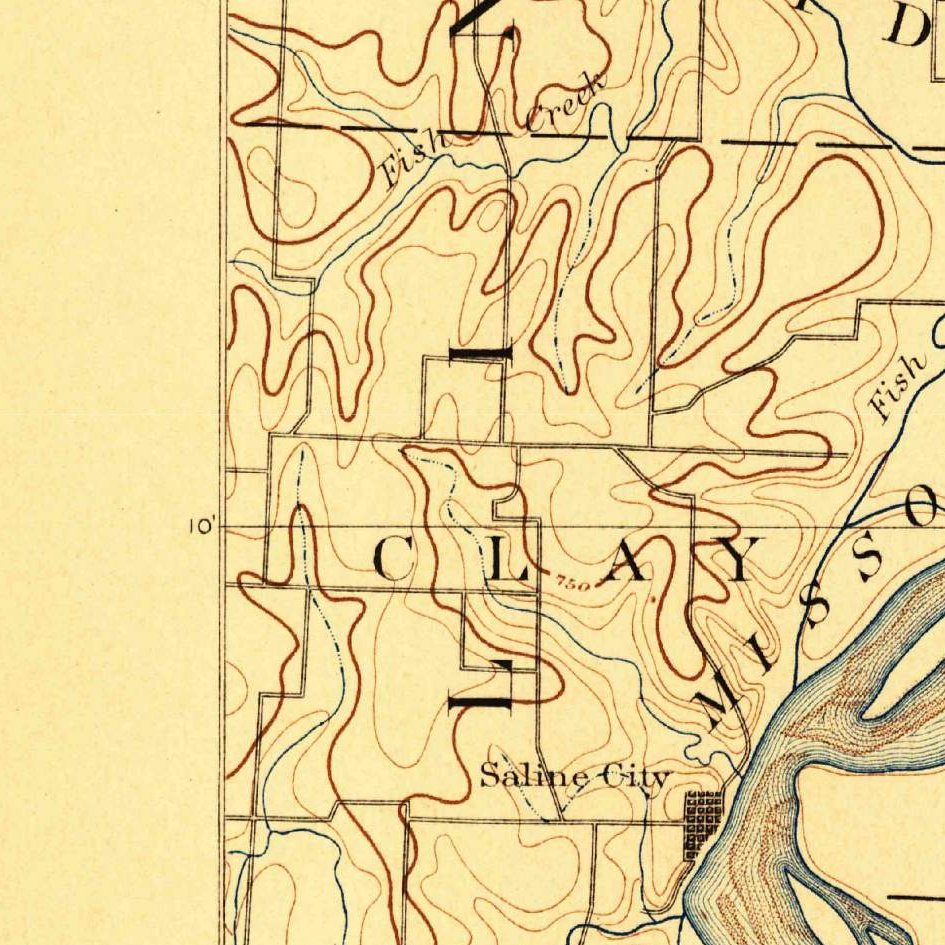
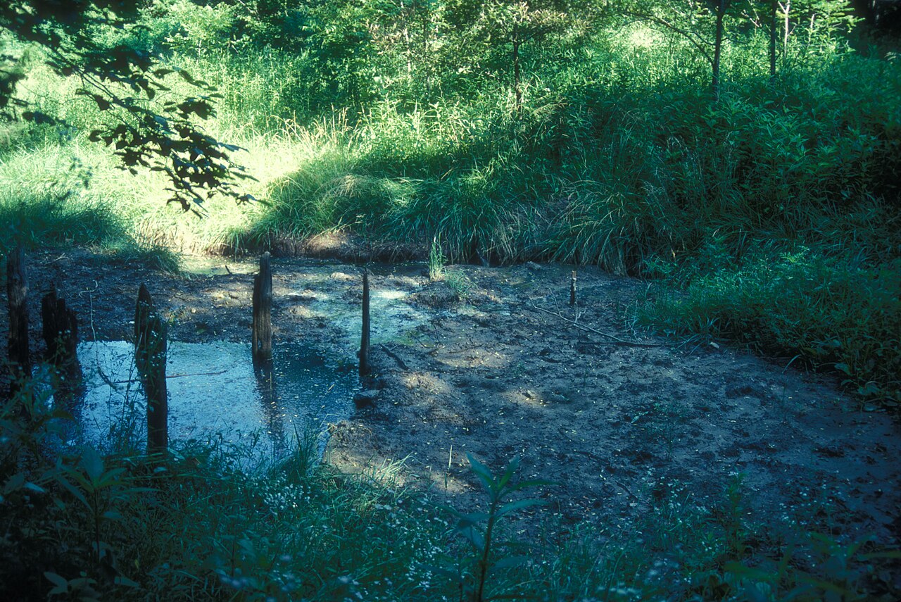
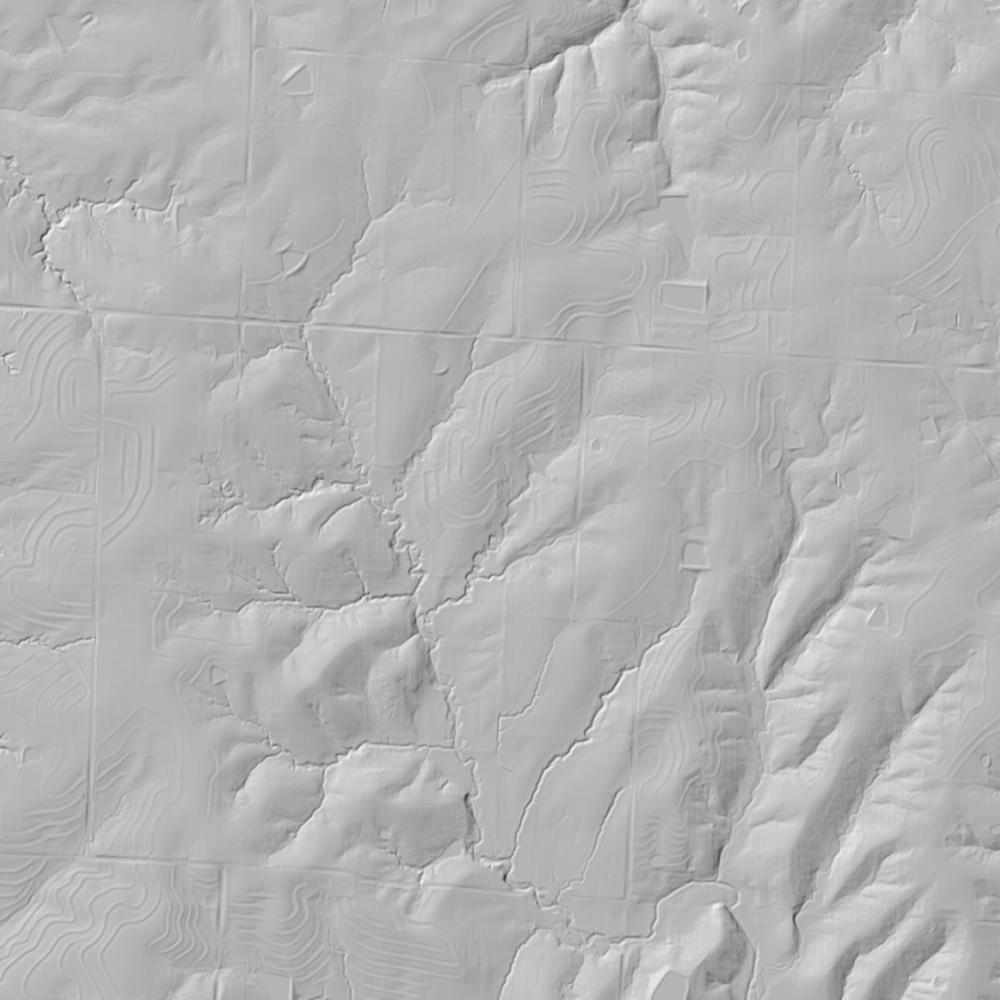
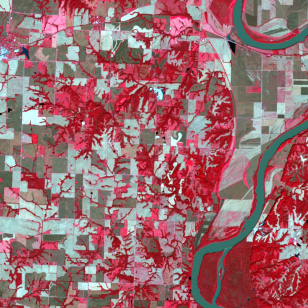
Aerial photographs, historical topographic surveys, lidar elevation, and ground imagery gathered for this place.
How to get more images
- USGS EarthExplorer (earthexplorer.usgs.gov, free account): Aerial Photo Single Frames, NHAP (1980–89, incl. color-infrared) and NAPP (1987–2007) covering this site. Medium-resolution scans download free; high-resolution film scans cost about $30 per frame (2–3 weeks).
- USDA FSA Aerial Photography Field Office (APFO, Salt Lake City): historic county-wide farm-program photos from the 1930s on, ordered by email/phone; scans run roughly $20–$50 per frame (check current price list).
- National Archives (College Park, Cartographic Branch): 1930s–1950s USDA/AAA aerials; free to view in person, reproductions through NARA's order service or approved vendors.
- the Missouri State Archives / state historical society and the state university map library (ask about historic aerial prints and scans); the state GIS clearinghouse for lidar.
- HistoricAerials.com (NETR Online): stitched historic aerials and topos by address; downloads/prints priced per image (often about $30–$80 for personal use; commercial licensing extra).
- Commercial satellite (Maxar/Vantor, Airbus, Planet via resellers such as SkyWatch or Apollo Mapping): archive scenes from ~$10–$25/km² with small minimum orders; new tasking costs more.
- Drone flight: a local FAA Part 107 pilot typically charges about $200–$600 for a basic photo/video shoot of a parcel; ask the landowner or site manager for permission first.
This sample report was researched from public records and checked against its sources. Historical research, not title or boundary advice.
← All 50 states, places & stories · Original 50 Picks Archive · Start your own Land File