50 States, 50 Places & 50 Stories › Massachusetts
Massachusetts sample place
Historic Deerfield & Conway Proprietors' School-Share Woodlot
Parcel at a glance
Historic Deerfield and the adjoining Conway Proprietors' hilltown woodlots sit along the Deerfield and South Rivers in Franklin County (Towns of Deerfield and Conway), spanning 1670s Pocumtuck Deeds and 1760s Town Proprietors' Division Lots. Anchored on museum farmland and forest parcels preserved by the nonprofit Historic Deerfield, Inc. and Massachusetts conservation lands, this corridor captures the direct New England ancestor of America's public-school land grants.
The land before the survey
For thousands of years before English settlement, the fertile alluvial terrace of the Deerfield River and the sheltered uplands of the Connecticut River Valley were the homeland of the Pocumtuck people. As one of the original thirteen colonies, Massachusetts has no federal rectangular survey grid. In 1665, the Massachusetts General Court granted 8,000 acres at Pocumtuck to proprietors from the town of Dedham, who negotiated four written deeds in 1666–1667 with Pocumtuck Sachems ([TO CONFIRM]: sachem names) before laying out narrow ribbon "Long Lots" across the river meadows and surveying rectangular upland woodlot divisions in the southern hills that incorporated as the Town of Conway in 1767.
First owners and the paper trail
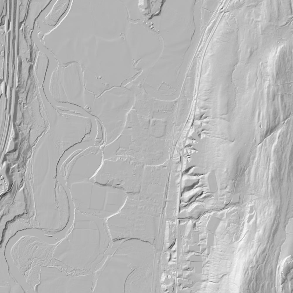
Early Deerfield proprietors drew their meadow strips and upland woodlot shares by ballot, recording boundary descriptions measured in rods, links, and marked witness trees. Across the 18th and 19th centuries, hilltown families cleared the Conway ridges for merino sheep pastures and dammed the South River for sawmills and gristmills—leaving behind miles of colonial stone walls, cellar holes, and mill races that stand out sharply today on 1-meter bare-earth lidar. In 1898, Massachusetts established the Massachusetts Land Court (Torrens system), allowing complex colonial metes-and-bounds farm and woodlot titles to be adjudicated by a court surveyor into decree-backed Land Court Registration Plans before Henry and Helen Geier Flynt began assembling Historic Deerfield's museum properties in the 1930s–1950s.
School-trust connection
More than fifty years before the Continental Congress created Section 16 in the Land Ordinance of 1785, the Massachusetts General Court required 18th-century frontier townships to divide their land into 63 equal proprietary shares—statutorily reserving one share for the First Settled Minister, one for the Ministry, and one 1/63rd share in perpetuity for Town Schools. In Deerfield and Conway, local trustees leased out these reserved school lands to pay schoolmasters, a tradition expanded statewide in 1834 when the legislature endowed the Massachusetts School Fund from the sale of Massachusetts' public domain in Maine.
What records survive and where to look
- Online County Registry & Land Court Plans: Unlike southern New England states that record by town, Massachusetts records deeds by county, and MassLandRecords.com provides free online scans of Franklin (and parent Hampshire) County deeds back to 1687 alongside Land Court Torrens Registration Plans.
- Lidar & Proprietors' Archives: MassGIS hosts open statewide L3 parcel polygons and 1-meter bare-earth lidar, while the Pocumtuck Valley Memorial Association and Historic Deerfield Library preserve the 1660s Indigenous deeds and original Town Proprietors' Lot Books.
What we are still confirming
- The exact Proprietors' Division lot number and 18th-century town lease-ledger entries in the Deerfield and Conway Town Clerk vaults for the reserved Town School Lot in the South River uplands.
Historical & landscape images
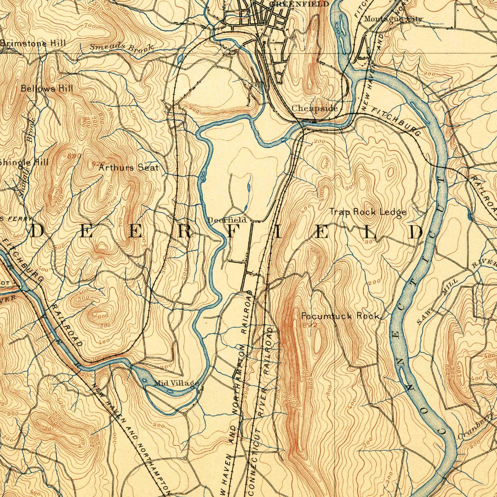
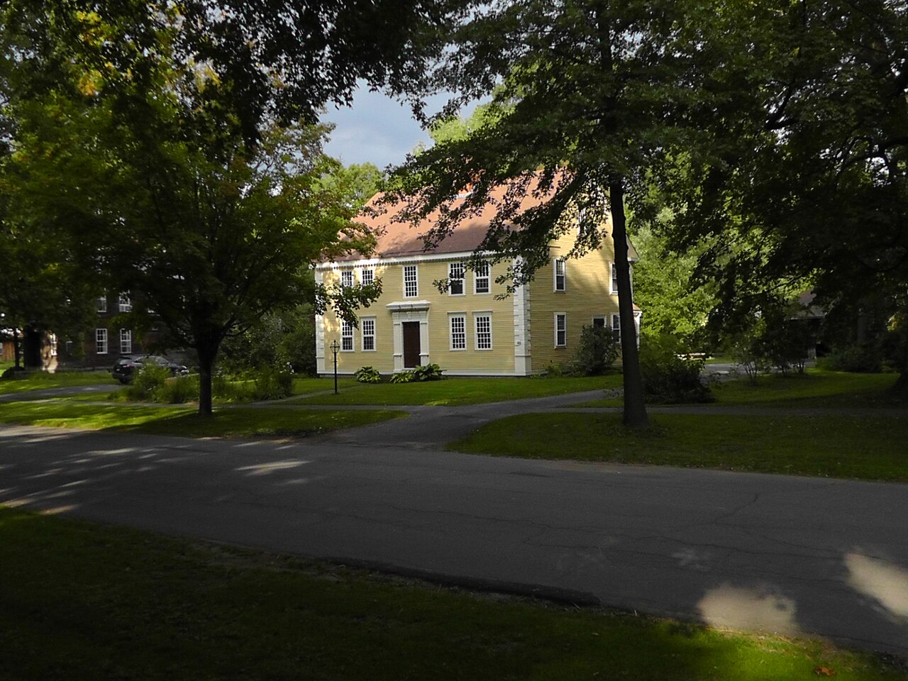
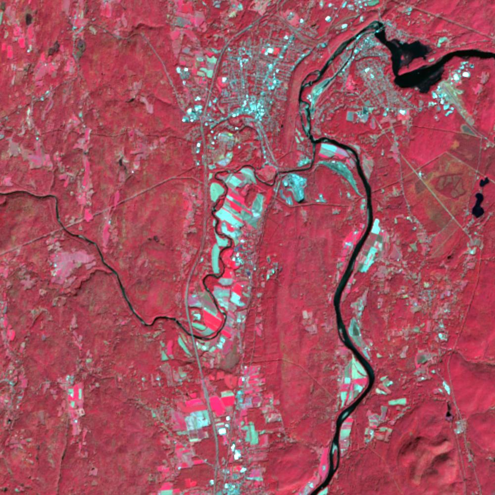
Aerial photographs, historical topographic surveys, lidar elevation, and ground imagery gathered for this place.
How to get more images
- USGS EarthExplorer (earthexplorer.usgs.gov, free account): Aerial Photo Single Frames, NHAP (1980–89, incl. color-infrared) and NAPP (1987–2007) covering this site. Medium-resolution scans download free; high-resolution film scans cost about $30 per frame (2–3 weeks).
- USDA FSA Aerial Photography Field Office (APFO, Salt Lake City): historic county-wide farm-program photos from the 1930s on, ordered by email/phone; scans run roughly $20–$50 per frame (check current price list).
- National Archives (College Park, Cartographic Branch): 1930s–1950s USDA/AAA aerials; free to view in person, reproductions through NARA's order service or approved vendors.
- MassGIS and UMass Amherst map collection.
- HistoricAerials.com (NETR Online): stitched historic aerials and topos by address; downloads/prints priced per image (often about $30–$80 for personal use; commercial licensing extra).
- Commercial satellite (Maxar/Vantor, Airbus, Planet via resellers such as SkyWatch or Apollo Mapping): archive scenes from ~$10–$25/km² with small minimum orders; new tasking costs more.
- Drone flight: a local FAA Part 107 pilot typically charges about $200–$600 for a basic photo/video shoot of a parcel; ask the landowner or site manager for permission first.
This sample report was researched from public records and checked against its sources. Historical research, not title or boundary advice.
← All 50 states, places & stories · Original 50 Picks Archive · Start your own Land File