50 States, 50 Places & 50 Stories › California
California sample place
Jack London State Historic Park (Rancho / PLSS Collision)
Parcel at a glance
Jack London State Historic Park sits on the eastern slope of Sonoma Mountain above Glen Ellen in Sonoma County, Township 6 North, Range 6 West, Sections 15, 16, 21, and 22, Mount Diablo Meridian. Assembled between 1905 and 1913 by writer Jack London and his wife Charmian as their 1,400-acre "Beauty Ranch" from six contiguous pioneer farms and woodlots, the property is owned today by California State Parks.
The land before the survey
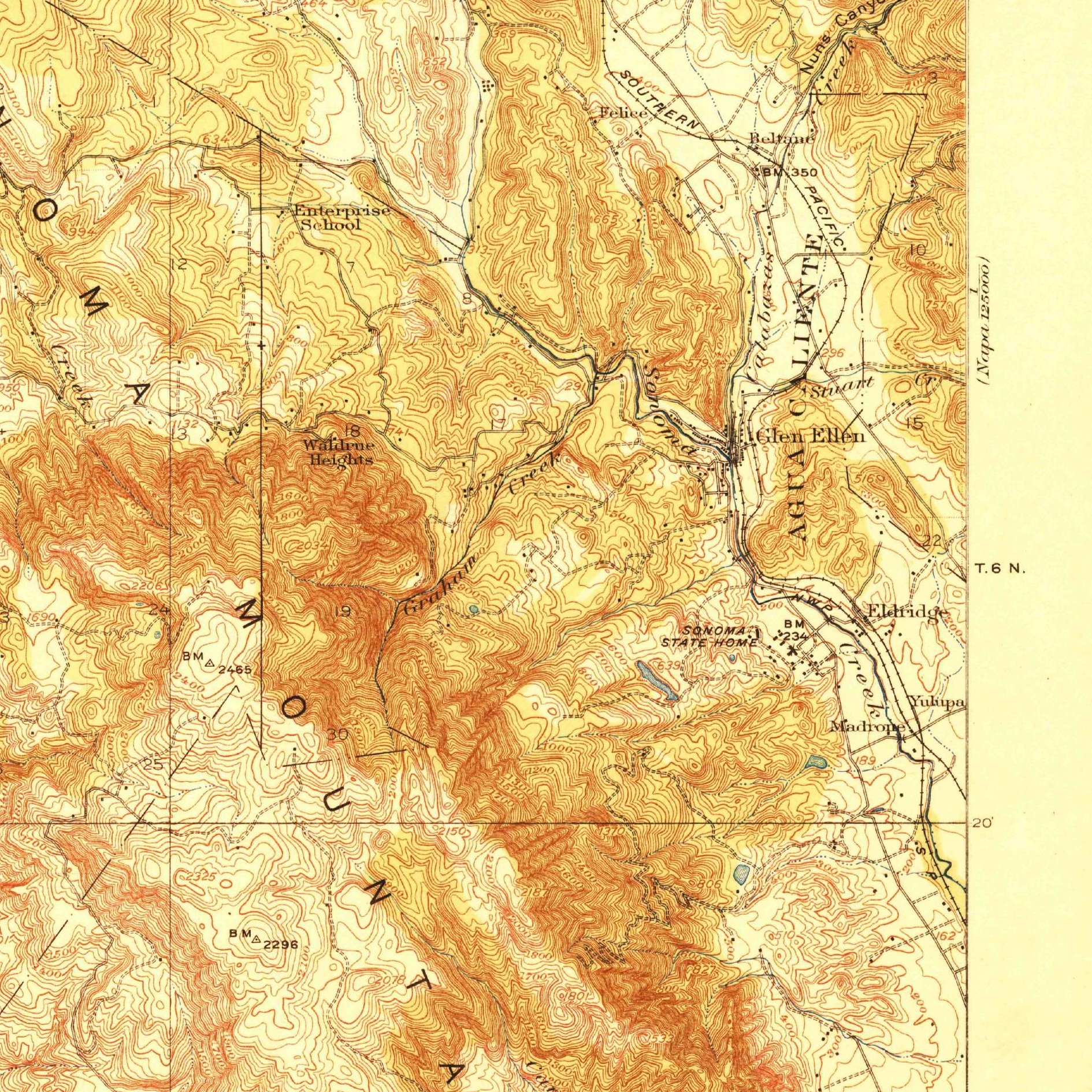
For thousands of years before European contact, the Sonoma Creek watershed was home to the Southern Pomo, Coast Miwok, and Wappo peoples, whose seasonal burning kept the oak ridges open above redwood-and-bay-laurel canyons. In 1837, the Mexican government granted the valley floor and lower mountain slopes to John Wilson and his wife Ramona Carrillo as the 18,833-acre Rancho Los Guilicos. After the 1848 Treaty of Guadalupe Hidalgo brought California into the United States, federal deputy surveyors ran the Mount Diablo Meridian grid up Sonoma Mountain in the 1850s and 1860s—mapping the diagonal survey line where the confirmed Mexican Rancho collided with the rectangular U.S. section grid.
First owners and the paper trail
That survey boundary split the Beauty Ranch hillside into two completely different legal origins. The lower eastern slopes lay inside Rancho Los Guilicos (confirmed by the U.S. Land Commission in the 1850s; patent date [TO CONFIRM]), where Charles Kohler and John Frohling planted one of Sonoma's earliest commercial vineyards (the Tokay/Kohler Ranch). The upper forested slopes in Sections 15, 21, and 22 lay on the public domain outside the Rancho line, where settlers ([TO CONFIRM]: individual patentee names) obtained federal Preemption and Homestead patents in the 1860s–1880s. Between 1905 and 1913, Jack London bought and united neighboring ranches including the Hill and Kohler & Frohling tracts ([TO CONFIRM]: full list of six tracts), built stone pig barns and a masonry dam for irrigation, and left the ranch to his family, who conveyed the core property to the State of California beginning in 1959.
School-trust connection
Under the Act of March 3, 1853 (10 Stat. 244), Congress granted California Sections 16 and 36 of every township for public schools, while providing that wherever a school section fell inside a valid Mexican Rancho, the state could select equivalent "indemnity lieu land" elsewhere. In T6N, R6W, the boundary of Rancho Los Guilicos sliced directly across Section 16, displacing the school section and triggering an indemnity lieu selection by the State ([TO CONFIRM]: that the Rancho line crosses Section 16 and the selection record).
What records survive and where to look
- County Surveyor & Rancho archives: The Sonoma County Surveyor's online portal publishes scanned 19th-century Rancho plats and Historic Survey Maps; UC Berkeley's Bancroft Library holds the original Mexican Diseño maps and federal District Court Land Case files.
- Water rights & deeds: California's SWRCB eWRIMS portal provides scanned water-right files on Asbury Creek, and Sonoma County deeds from 1850 to 1920 are digitized on FamilySearch.
What we are still confirming
- The exact California State Lands Commission Indemnity Selection List number identifying which parcel the state received in lieu of the Rancho-preempted portion of Section 16, T6N, R6W.
- The exact Sonoma County Deed Book and Page citations for two 1905–1913 spring-access easements crossing the six consolidated ranch parcels.
Historical & landscape images
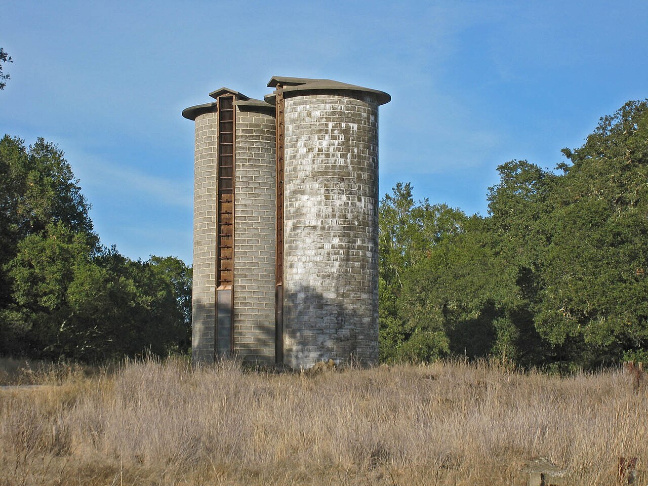
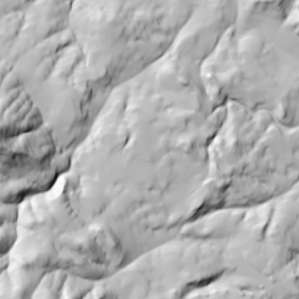
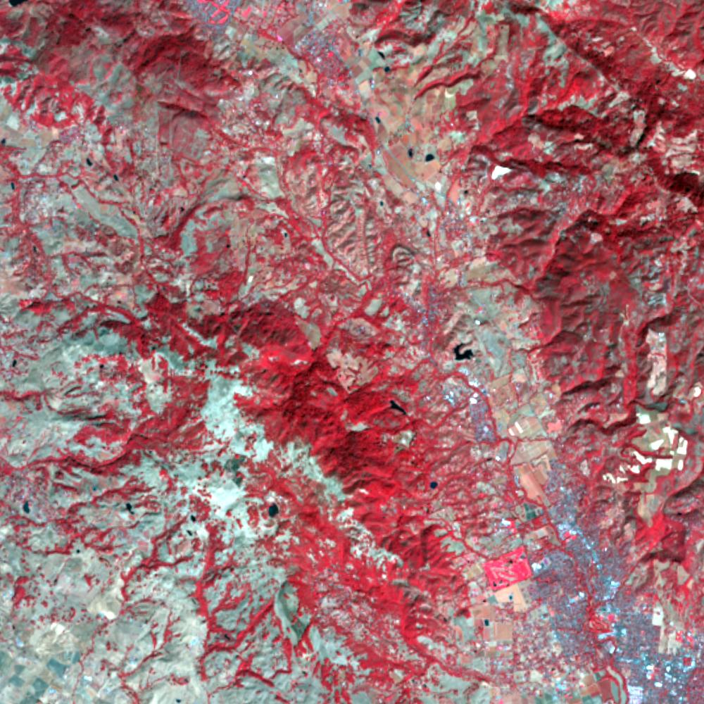
Aerial photographs, historical topographic surveys, lidar elevation, and ground imagery gathered for this place.

How to get more images
- USGS EarthExplorer (earthexplorer.usgs.gov, free account): Aerial Photo Single Frames, NHAP (1980–89, incl. color-infrared) and NAPP (1987–2007) covering this site. Medium-resolution scans download free; high-resolution film scans cost about $30 per frame (2–3 weeks).
- USDA FSA Aerial Photography Field Office (APFO, Salt Lake City): historic county-wide farm-program photos from the 1930s on, ordered by email/phone; scans run roughly $20–$50 per frame (check current price list).
- National Archives (College Park, Cartographic Branch): 1930s–1950s USDA/AAA aerials; free to view in person, reproductions through NARA's order service or approved vendors.
- UC Santa Barbara Library FrameFinder (historic aerial scans, fee per frame) and California State Archives.
- HistoricAerials.com (NETR Online): stitched historic aerials and topos by address; downloads/prints priced per image (often about $30–$80 for personal use; commercial licensing extra).
- Commercial satellite (Maxar/Vantor, Airbus, Planet via resellers such as SkyWatch or Apollo Mapping): archive scenes from ~$10–$25/km² with small minimum orders; new tasking costs more.
- Drone flight: a local FAA Part 107 pilot typically charges about $200–$600 for a basic photo/video shoot of a parcel; ask the landowner or site manager for permission first.
This sample report was researched from public records and checked against its sources. Historical research, not title or boundary advice.
← All 50 states, places & stories · Original 50 Picks Archive · Start your own Land File