50 States, 50 Places & 50 Stories › Washington
Washington sample place
George Washington Bush Special-Act Claim & Sec. 16 Edge
Parcel at a glance
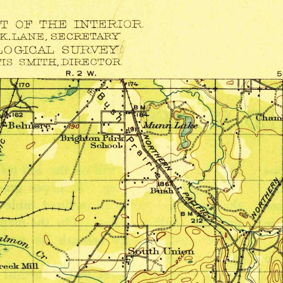
The George Washington Bush Claim sits on Bush Prairie at Tumwater in Thurston County, Township 17 North, Range 2 West, spanning parts of Sections 11, 12, 13, and 14 (anchored on Section 14 near Olympia Regional Airport; [TO CONFIRM]: pioneer-marker date) and neighboring Section 16, Willamette Meridian. Owned today in large part by the public Port of Olympia (keeping the private 5-acre Bush Prairie Farm remnant out of the public headline), this parcel prepares the ground for Washington's January 2027 platform launch.
The land before the survey
For thousands of years before American settlement, the glacial outwash prairies around the Deschutes River falls and southernmost Puget Sound (Steh-Chass) were the homeland of the Nisqually and Squaxin Island peoples, whose seasonal burning maintained open camas and white-oak prairies. Following the 1846 Oregon Treaty and the 1854 Treaty of Medicine Creek (10 Stat. 1132), General Land Office (GLO) deputy surveyors extended the Willamette Meridian northward from Oregon across Puget Sound in the early 1850s.
First owners and the paper trail
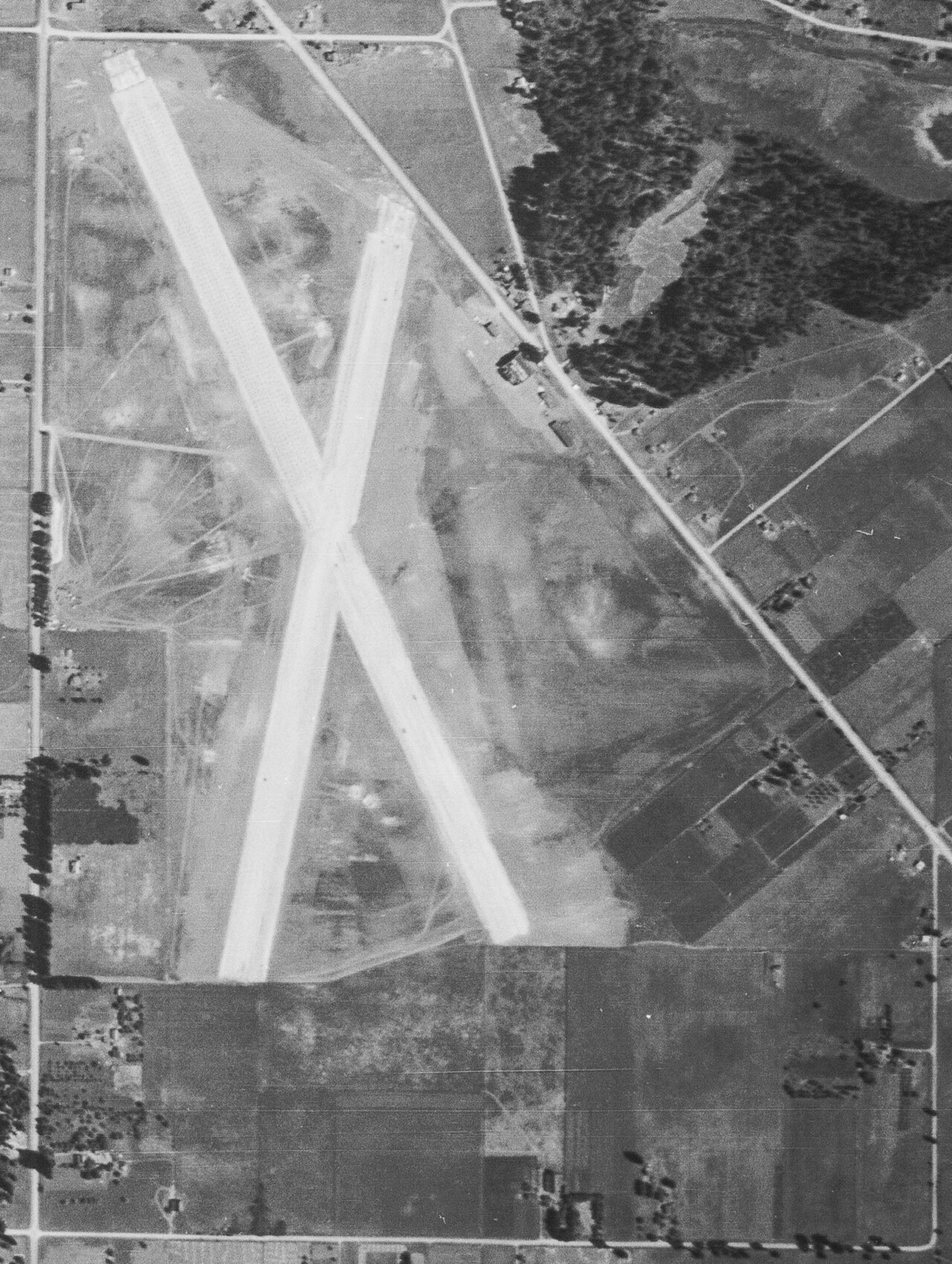
In 1844, George Washington Bush—a free Black farmer, veteran, and cattleman from Pennsylvania and Missouri—and his wife Isabella James Bush ([TO CONFIRM]: her background) led a wagon party over the Oregon Trail. Barred by Oregon's provisional Black exclusion laws south of the Columbia River, the Bush-Simmons party moved north to Puget Sound in 1845 and established a flourishing grain, orchard, and timber farm on Bush Prairie. Because the 1850 Oregon Donation Land Act restricted free land claims to white settlers, Washington's very first Territorial Legislature unanimously petitioned Congress in March 1854 to confirm Bush's title—and Congress passed the Special Act of February 10, 1855 (10 Stat. 848) confirming 640 acres to George Bush (Olympia Notification #1258, Donation Land Claim #60, patented on June 30, 1879, BLM Accession #WAORAA 072415). Much of the open prairie later became the Port of Olympia's municipal airport.
School-trust connection
Under the Omnibus Enabling Act of February 22, 1889 (25 Stat. 676), Congress granted Washington Sections 16 and 36 of every township as a permanent trust for common schools. Near the Bush claim sits Section 16 of T17N, R2W ([TO CONFIRM]: its current trust status and position), where the Washington Department of Natural Resources (DNR) manages working Douglas-fir trust forests to fund K–12 school construction statewide.
What records survive and where to look
- DNR Survey Archive & BLM Patents: WA DNR's Public Land Survey Office (PLSO) portal provides free scans of the 1853 GLO plats, field notes, and modern Land Corner Records, while the BLM GLO index holds the June 30, 1879 patent.
- State Archives, Court Files & Port Records: The Washington State Archives holds the 1854 legislative memorial and 1915 Thurston County Superior Court title files, supplemented by Port of Olympia airport records and Evergreen State College archaeology.
What we are still confirming
- The exact 1920s–1940s Thurston County Auditor Deed Book and Page numbers transferring the Section 14 Bush heirs' parcels to the City and Port of Olympia.
Historical & landscape images
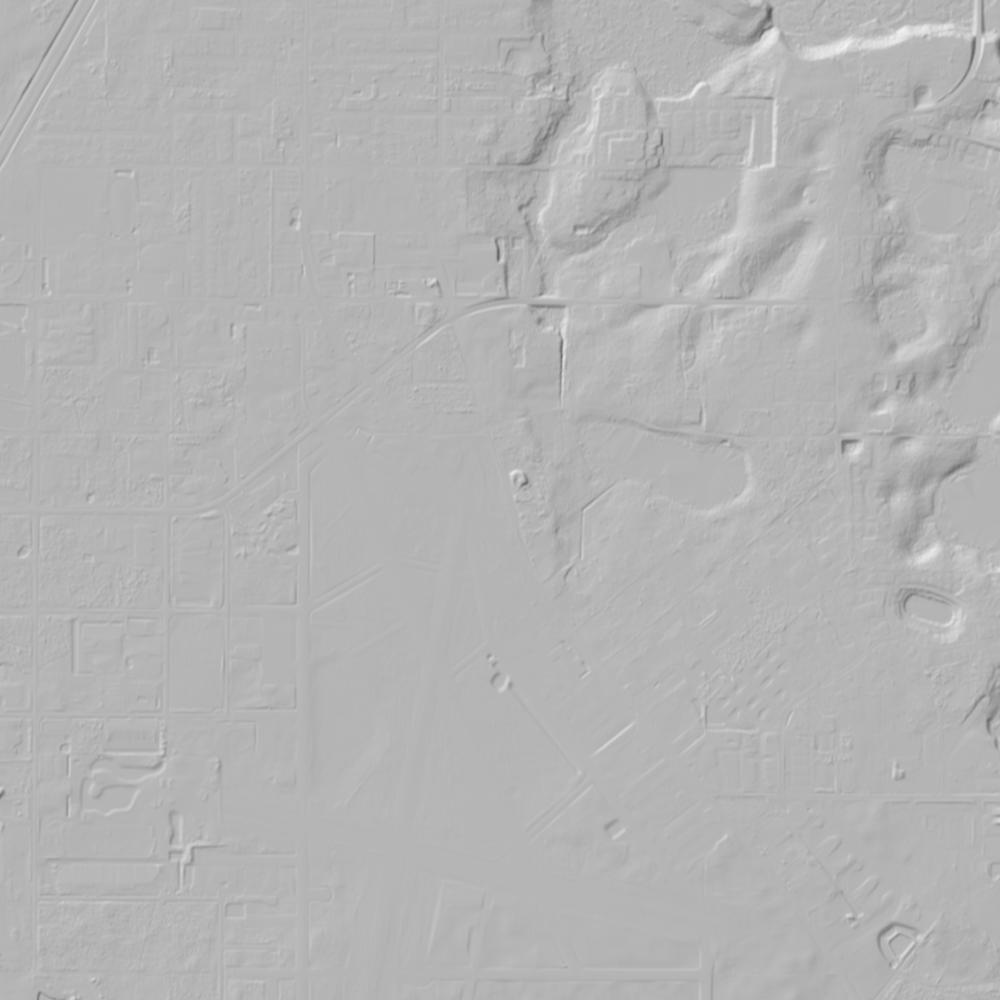
Aerial photographs, historical topographic surveys, lidar elevation, and ground imagery gathered for this place.

How to get more images
- USGS EarthExplorer (earthexplorer.usgs.gov, free account): Aerial Photo Single Frames, NHAP (1980–89, incl. color-infrared) and NAPP (1987–2007) covering this site. Medium-resolution scans download free; high-resolution film scans cost about $30 per frame (2–3 weeks).
- USDA FSA Aerial Photography Field Office (APFO, Salt Lake City): historic county-wide farm-program photos from the 1930s on, ordered by email/phone; scans run roughly $20–$50 per frame (check current price list).
- National Archives (College Park, Cartographic Branch): 1930s–1950s USDA/AAA aerials; free to view in person, reproductions through NARA's order service or approved vendors.
- Washington State Archives and UW Libraries map collection; WA DNR Lidar Portal (free lidar).
- HistoricAerials.com (NETR Online): stitched historic aerials and topos by address; downloads/prints priced per image (often about $30–$80 for personal use; commercial licensing extra).
- Commercial satellite (Maxar/Vantor, Airbus, Planet via resellers such as SkyWatch or Apollo Mapping): archive scenes from ~$10–$25/km² with small minimum orders; new tasking costs more.
- Drone flight: a local FAA Part 107 pilot typically charges about $200–$600 for a basic photo/video shoot of a parcel; ask the landowner or site manager for permission first.
This sample report was researched from public records and checked against its sources. Historical research, not title or boundary advice.
← All 50 states, places & stories · Original 50 Picks Archive · Start your own Land File