50 States, 50 Places & 50 Stories › New Hampshire
New Hampshire sample place
Monadnock State Park / Poole Tract (1749 Masonian Grid)
Parcel at a glance
Monadnock State Park and the Poole Memorial Reservation sit on the southeastern slopes of Mount Monadnock (3,165 feet) in Cheshire County (Town of Jaffrey), inside Ranges 6 through 8 of the 1749 Masonian Proprietors' Rectangular Survey Grid. Owned by the State of New Hampshire and the Town of Jaffrey (alongside conservation lands held by the Society for the Protection of New Hampshire Forests), this mountain forest parcel shows how a syndicate of colonial merchants built a rectangular survey grid thirty-six years before the federal PLSS.
The land before the survey
For thousands of years, the isolated granite summit of Mount Monadnock rising above the Contoocook and Ashuelot River watersheds was a central landmark and hunting territory of the Western Abenaki and Pennacook peoples. As one of the original thirteen states, New Hampshire has no federal rectangular survey grid. Instead, in 1746 twelve Portsmouth merchants—the Masonian Proprietors—purchased the 1629 Crown patent of Captain John Mason and began chartering interior townships. In 1749, they granted the township of "Middle Monadnock" (incorporated as Jaffrey in 1773) and hired surveyor Joseph Blanchard Jr. to divide the six-mile square into a remarkably uniform rectangular grid of numbered 100-acre Lots arranged in parallel north-south Ranges.
First owners and the paper trail
Under the 1749 Masonian charter, the proprietors drew their numbered Range-and-Lot shares by lottery in Portsmouth, requiring grantees to clear land, build houses, and lay out roads. By the 1820s, early Jaffrey farm families had cleared the lower slopes of Mount Monadnock right up to the rocky ledges for merino sheep and cattle pastures, enclosing their rectangular 100-acre lots with miles of stone walls. After early-19th-century fires burned off the upper spruce duff and hill farms were abandoned to white pine and hardwood regrowth, the State of New Hampshire acquired its first 200 acres on the mountain in 1905, anchoring today's state park ([TO CONFIRM]: donor, and the Poole Memorial Reservation's origin).
School-trust connection
In the 1749 Middle Monadnock (Jaffrey) grant, the Masonian Proprietors explicitly reserved free Range-and-Lot shares for the first settled minister, the Ministry, and for the support of Town Schools. On a statewide scale, New Hampshire established its Literary Fund in 1821, and in 1867 the Governor and Council sold off the state's remaining 172,000 acres of ungranted White Mountain public domain for just $25,000, placing the proceeds into the state school fund.
What records survive and where to look
- Published 1749 Charter & Lot Maps: Volumes 24 through 29 of the New Hampshire State Papers (Town Charters & Masonian Papers) print the 1749 Jaffrey charter and the original rectangular Range-and-Lot map showing every proprietor and school lot by number.
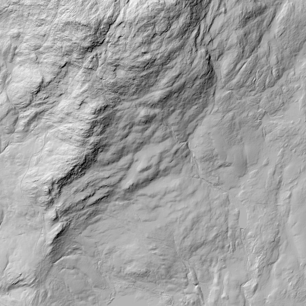
- Colonial Deeds & Stone-Wall Lidar: New Hampshire's single colonial Provincial Deeds series (1641–1771) and Cheshire County deeds from 1771 forward are digitized on FamilySearch (with modern deeds on nhdeeds.com), while NH GRANIT hosts 1-meter bare-earth lidar revealing the 1750s stone-wall lot grid beneath the modern forest canopy.
What we are still confirming
- The exact Range and Lot numbers assigned to the reserved Town School Share on the 1749/1750 Middle Monadnock (Jaffrey) Proprietors' Plan and the dates when the town leased or sold those lots.
Historical & landscape images
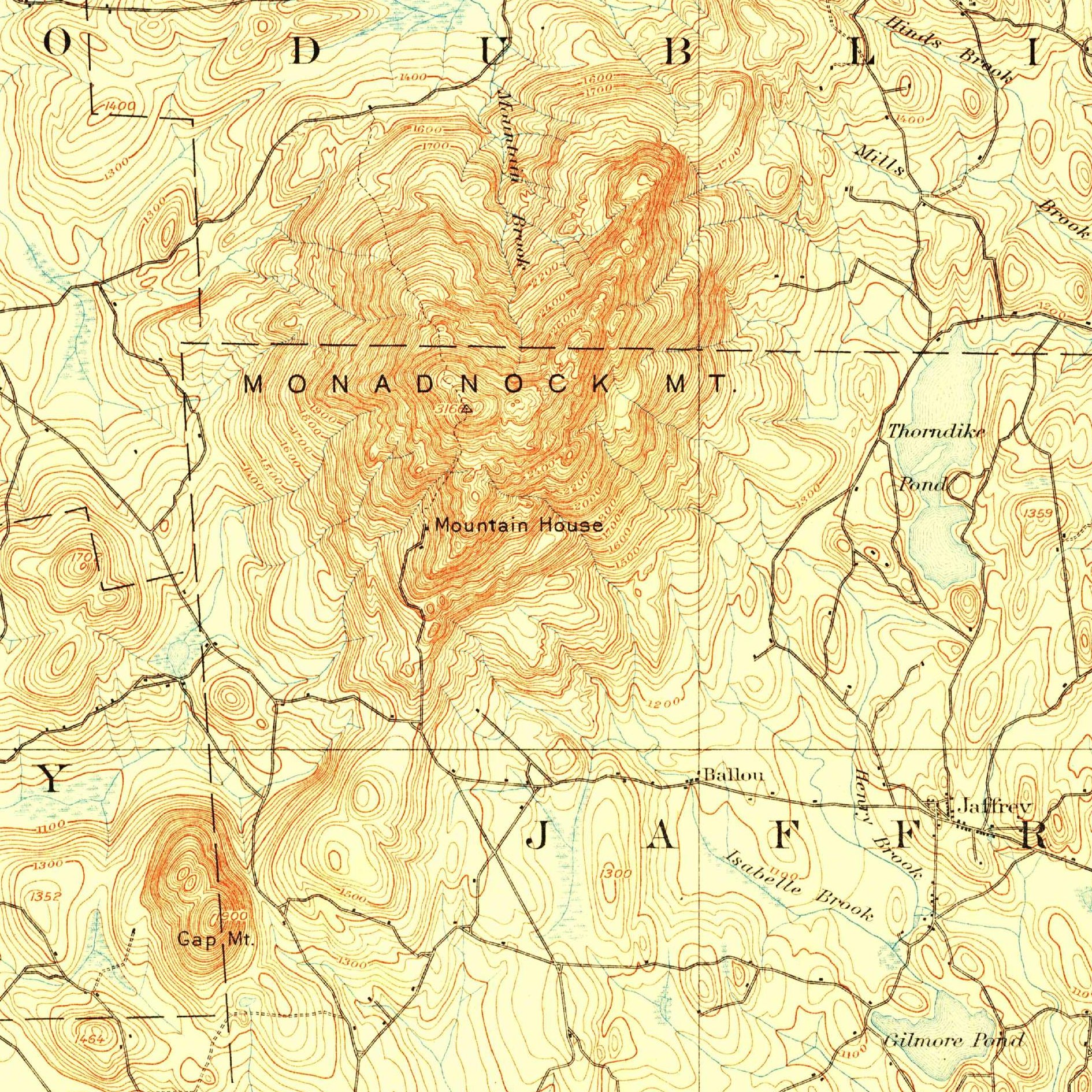
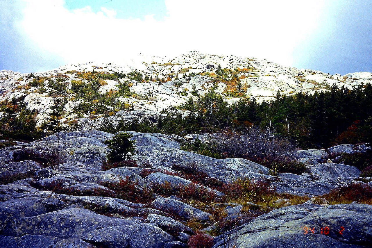
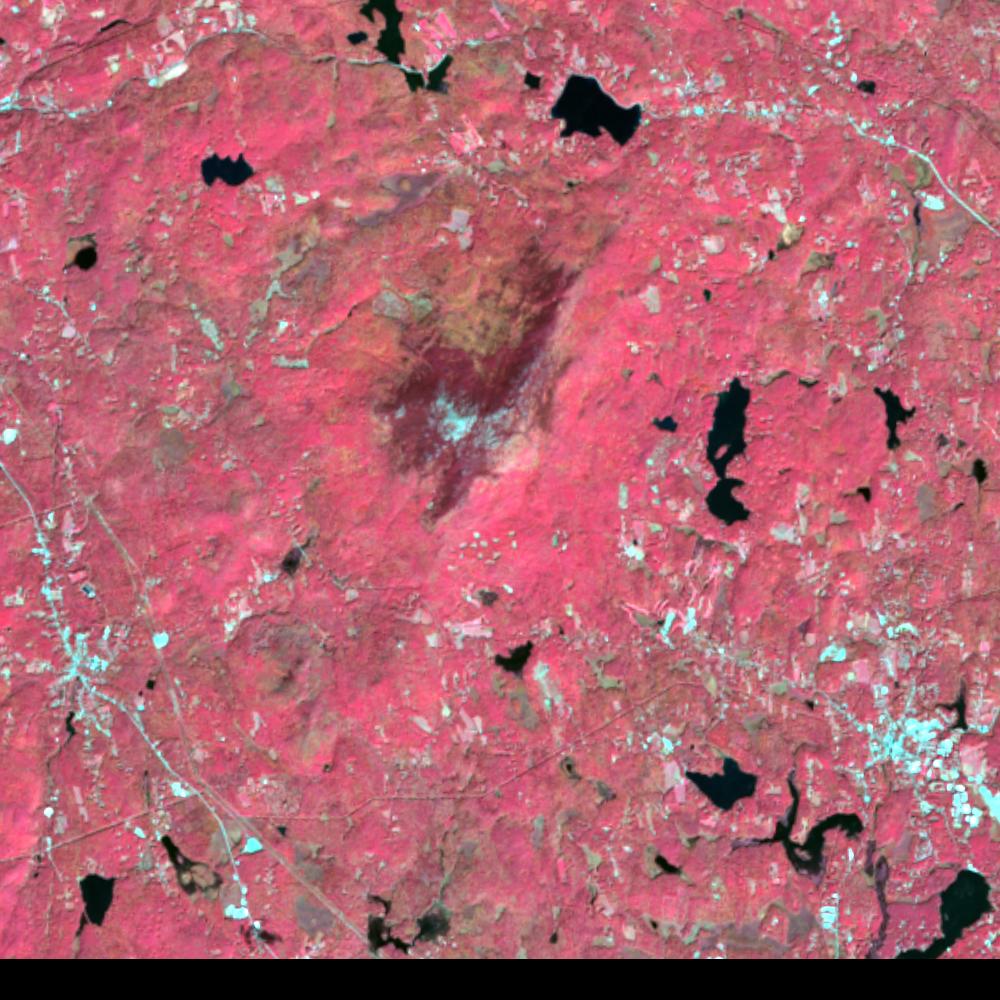
Aerial photographs, historical topographic surveys, lidar elevation, and ground imagery gathered for this place.
How to get more images
- USGS EarthExplorer (earthexplorer.usgs.gov, free account): Aerial Photo Single Frames, NHAP (1980–89, incl. color-infrared) and NAPP (1987–2007) covering this site. Medium-resolution scans download free; high-resolution film scans cost about $30 per frame (2–3 weeks).
- USDA FSA Aerial Photography Field Office (APFO, Salt Lake City): historic county-wide farm-program photos from the 1930s on, ordered by email/phone; scans run roughly $20–$50 per frame (check current price list).
- National Archives (College Park, Cartographic Branch): 1930s–1950s USDA/AAA aerials; free to view in person, reproductions through NARA's order service or approved vendors.
- the New Hampshire State Archives / state historical society and the state university map library (ask about historic aerial prints and scans); the state GIS clearinghouse for lidar.
- HistoricAerials.com (NETR Online): stitched historic aerials and topos by address; downloads/prints priced per image (often about $30–$80 for personal use; commercial licensing extra).
- Commercial satellite (Maxar/Vantor, Airbus, Planet via resellers such as SkyWatch or Apollo Mapping): archive scenes from ~$10–$25/km² with small minimum orders; new tasking costs more.
- Drone flight: a local FAA Part 107 pilot typically charges about $200–$600 for a basic photo/video shoot of a parcel; ask the landowner or site manager for permission first.
This sample report was researched from public records and checked against its sources. Historical research, not title or boundary advice.
← All 50 states, places & stories · Original 50 Picks Archive · Start your own Land File