50 States, 50 Places & 50 Stories › Delaware
Delaware sample place
Cooch's Bridge State Historic Site & 1746 Mill Tract
Parcel at a glance
Cooch's Bridge State Historic Site sits along the Christina River at the foot of Iron Hill just south of Newark in New Castle County (Pencader and Mill Creek Hundreds), inside 1680s–1740s Penn Proprietary Warrants. Held by the Cooch family from 1746 until the State of Delaware bought the house and 10 surrounding acres in 2018 (the state also owns about 60 acres across the road, including the Cooch-Dayett Mill), the tract captures over 340 years of Mid-Atlantic land tenure.
The land before the survey
For thousands of years, the Christina River crossing and nearby Iron Hill (a rare jasper stone-tool quarry and iron outcropping) lay at the crossroads of Unami Lenape trails linking the Delaware River and the Chesapeake Bay. Before William Penn received his proprietary charter in 1682, the lower Delaware Valley passed successively through Swedish, Dutch, and English Duke of York (1664–1682) administration. Rather than using rectangular townships, Delaware divided its three counties into traditional Anglo-Saxon "Hundreds"—a legal and tax-assessment subdivision Delaware still uses today.
First owners and the paper trail
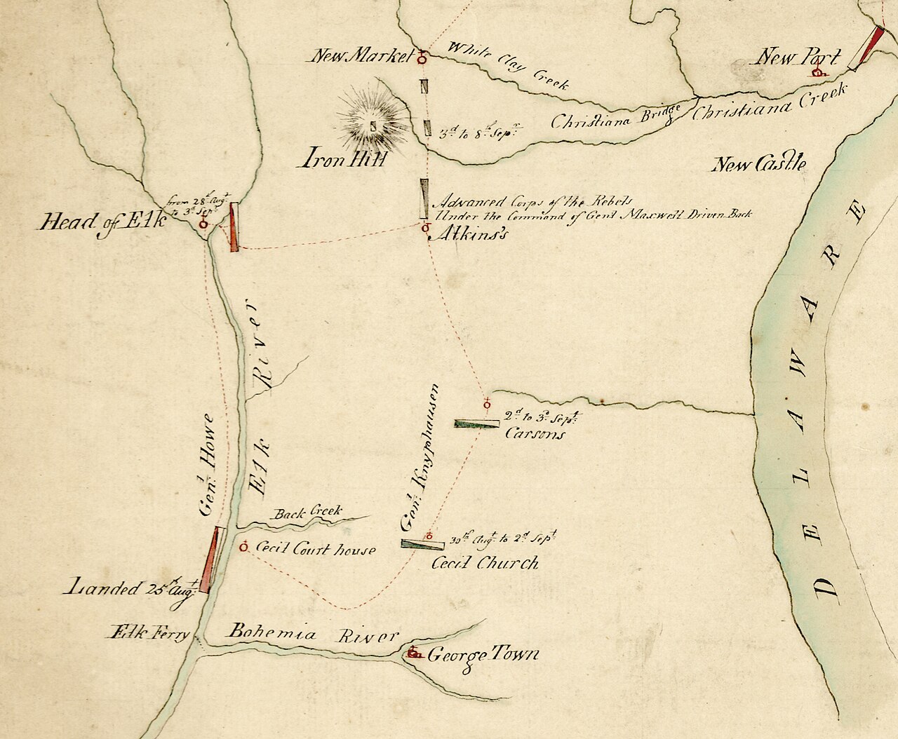
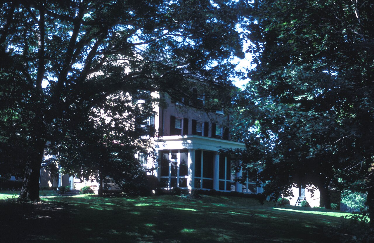
The lands along the Christina River at Iron Hill were severed through early Duke of York grants and William Penn Proprietary Warrants and Surveys (including tracts bordering the 1701 Welsh Tract). In 1746, Thomas Cooch, newly arrived from England, acquired the Christina River land, and in 1760 he built the brick family home that stood at the center of the Battle of Cooch's Bridge on September 3, 1777—the only Revolutionary War battle fought on Delaware soil. Across seven to nine generations (sources differ), the Cooch family recorded deeds, mill-dam flowage agreements, and Orphans' Court estate partitions while operating grist, flour, and lumber mills on the property until selling the house and 10 acres to the State of Delaware in 2018; the house is being restored for a museum opening planned for the battle's 250th anniversary on September 3, 2027.
School-trust connection
As an original state without federal Section 16 lands, Delaware created its School Fund by statute in 1796, funded from marriage and tavern license fees ([TO CONFIRM]: whether vacant or escheated proprietary lands were also dedicated to it)—later supplemented by Delaware's 90,000 acres of 1862 Morrill Act land scrip.
What records survive and where to look
- Colonial warrants & reconstructed maps: The Delaware Public Archives and FamilySearch host digitized Duke of York Records (1646–1679), Penn Warrants and Surveys, and Archivist Leon deValinger's Reconstructed Colonial Land Tract Maps for Pencader and Mill Creek Hundreds.
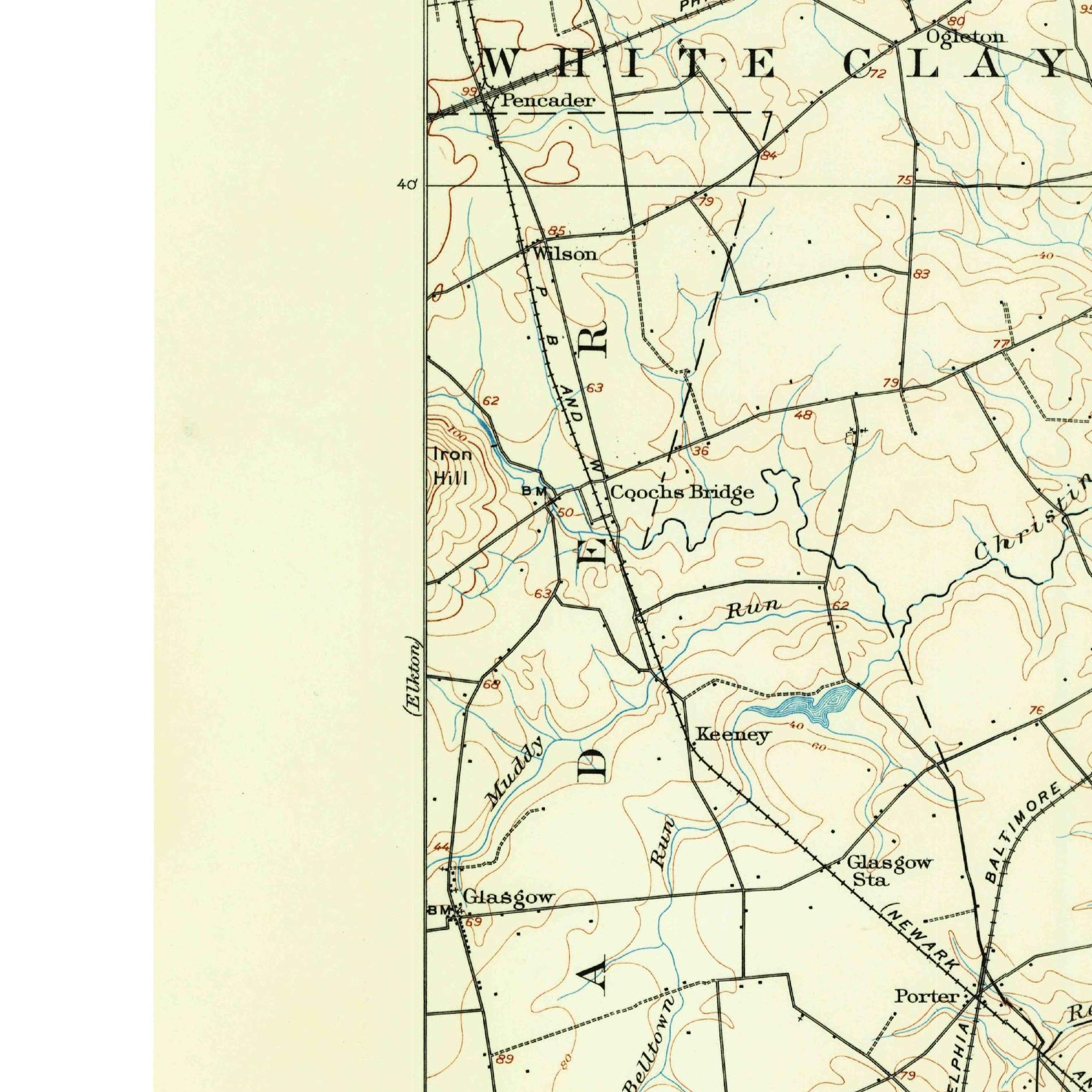
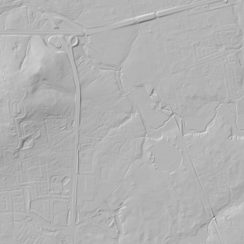
- County deeds, lidar & 1937 aerials: Unbroken New Castle County Deed Books and Orphans' Court Partition Dockets back to the 1670s are on FamilySearch, while Delaware FirstMap provides open parcel GIS, 1937 statewide aerials, and 1-meter lidar showing the 1746 mill race and Iron Hill mining pits.
What we are still confirming
- The exact colonial tract name and warrant date on deValinger's Pencader Hundred map for the meadow parcel immediately north of the Christina River bridge.
- The exact New Castle County Deed Book citations for the 19th-century mill-pond flowage easements upstream of the Cooch dam.
Historical & landscape images
Aerial photographs, historical topographic surveys, lidar elevation, and ground imagery gathered for this place.
How to get more images
- USGS EarthExplorer (earthexplorer.usgs.gov, free account): Aerial Photo Single Frames, NHAP (1980–89, incl. color-infrared) and NAPP (1987–2007) covering this site. Medium-resolution scans download free; high-resolution film scans cost about $30 per frame (2–3 weeks).
- USDA FSA Aerial Photography Field Office (APFO, Salt Lake City): historic county-wide farm-program photos from the 1930s on, ordered by email/phone; scans run roughly $20–$50 per frame (check current price list).
- National Archives (College Park, Cartographic Branch): 1930s–1950s USDA/AAA aerials; free to view in person, reproductions through NARA's order service or approved vendors.
- the Delaware State Archives / state historical society and the state university map library (ask about historic aerial prints and scans); the state GIS clearinghouse for lidar.
- HistoricAerials.com (NETR Online): stitched historic aerials and topos by address; downloads/prints priced per image (often about $30–$80 for personal use; commercial licensing extra).
- Commercial satellite (Maxar/Vantor, Airbus, Planet via resellers such as SkyWatch or Apollo Mapping): archive scenes from ~$10–$25/km² with small minimum orders; new tasking costs more.
- Drone flight: a local FAA Part 107 pilot typically charges about $200–$600 for a basic photo/video shoot of a parcel; ask the landowner or site manager for permission first.
This sample report was researched from public records and checked against its sources. Historical research, not title or boundary advice.
← All 50 states, places & stories · Original 50 Picks Archive · Start your own Land File