50 States, 50 Places & 50 Stories › New York
New York sample place
Cornell Fall Creek / Botanic Gardens (1790 Military Lot & Morrill Hub)
Parcel at a glance
The Cornell Fall Creek Gorge and Botanic Gardens tract sits along the terraced waterfalls and upland ridges overlooking Cayuga Lake in Tompkins County (Towns of Ithaca and Dryden), inside the 1790 New York State "New Military Tract" (Classical Townships of Ulysses and Dryden). Owned by Cornell University, this multi-parcel campus, mill-race, and woodland corridor connects New York's post-Revolutionary 600-acre Military Bounty grid with the largest 1862 Morrill Act land-scrip enterprise in American history.
The land before the survey
For centuries before American settlement, the Finger Lakes gorges and fertile valleys around the southern head of Cayuga Lake were the heartland of the Gayogo̱hó꞉nǫʼ (Cayuga Nation) of the Haudenosaunee (Iroquois Confederacy). Because New York was one of the original thirteen states, it has no federal PLSS grid. Instead, following the 1779 Sullivan-Clinton campaign and state treaties in 1789, the New York Legislature (under acts of 1782 and 1789; [TO CONFIRM]: exact enabling act and date) directed State Surveyor General Simeon De Witt to survey 1.8 million acres of central New York into 28 classical-named Townships (Ulysses, Dryden, Milton, Homer, Locke, Ovid, etc.), each divided into 100 square 600-acre Military Lots.
First owners and the paper trail
Beginning in July 1790, New York's Revolutionary War soldiers drew their 600-acre Military Lots by ballot. Because impoverished veterans frequently sold their land claims to two or three different speculators before the state patents were even printed, a wave of deed fraud swept central New York—forcing the legislature in 1797 to create the Onondaga Commissioners, a special three-judge tribunal whose Award Books quieted the competing chains of title. Along the dramatic waterfalls of Fall Creek, early 1800s settlers carved out mill seats, waterpower races, and hillside farms like Ezra Cornell's Forest Park farm, which Cornell donated in 1865 to found the university.
School-trust connection
This ground anchors two major chapters in American educational land trusts. First, in every 100-lot Military Township surveyed in 1789–1790, New York statutorily reserved one 600-acre lot as a "Gospel and School Lot" for local town schools and one 600-acre lot as a "Literature Lot" for higher academies. Second, because New York had no federal public domain left in 1862, it received 990,000 acres of federal Land Scrip under the 1862 Morrill Act—which Ezra Cornell purchased and personally located on 500,000 acres of prime Wisconsin white pine to build Cornell University's endowment.
What records survive and where to look
- 1825 Balloting Book & Onondaga Awards: New York's published Balloting Book (1825) lists the soldier who drew every 600-acre lot, while the 1797 Onondaga Commissioners' Award Books and Tompkins/Cayuga County deeds back to 1790 are digitized on FamilySearch.
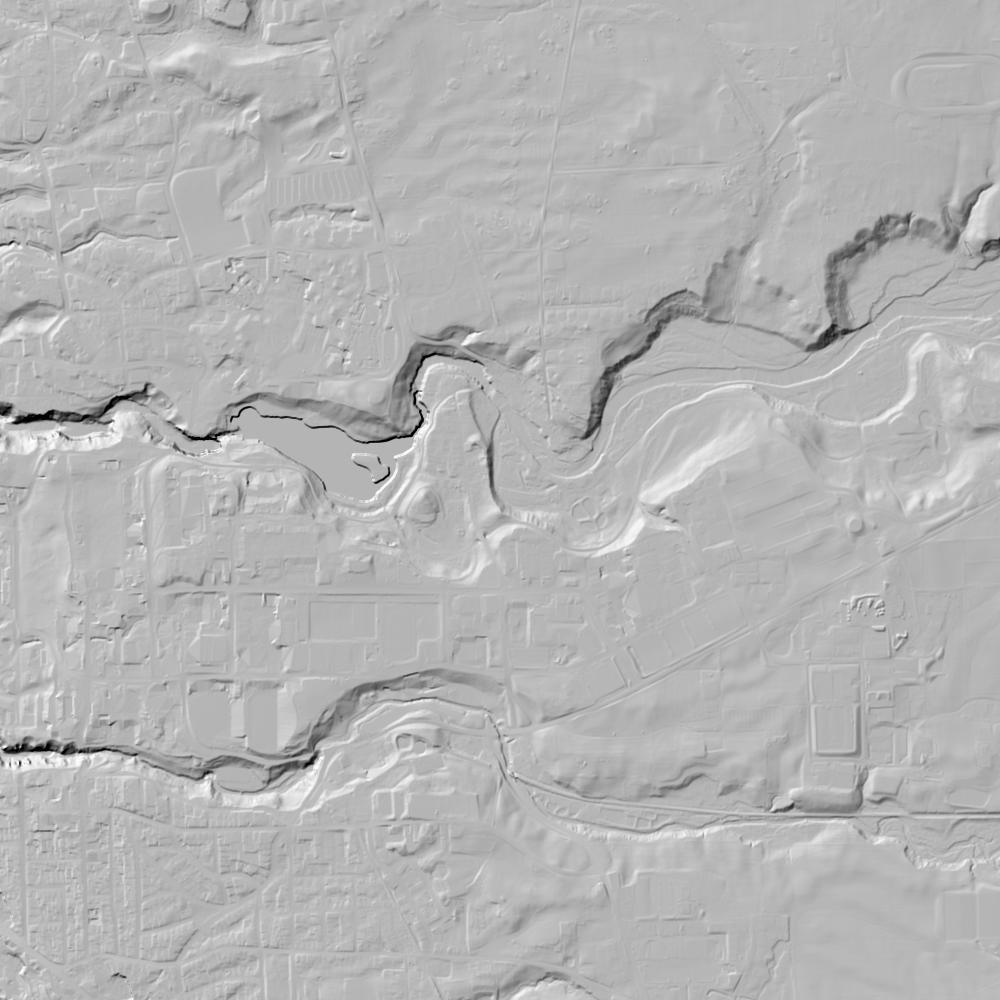
- University Scrip Ledgers & State GIS: Cornell University Archives preserves Ezra Cornell's original Morrill Act western pine land ledgers, and the NYS GIS Clearinghouse provides open statewide tax parcels and 1-meter lidar.
What we are still confirming
- The exact 1790 Military Lot number and 1797 Onondaga Commissioners' Award entry for the Fall Creek waterpower race parcel, and the 19th-century town trustees' lease and sale deeds for the neighboring 600-acre Gospel and School Lot.
Historical & landscape images
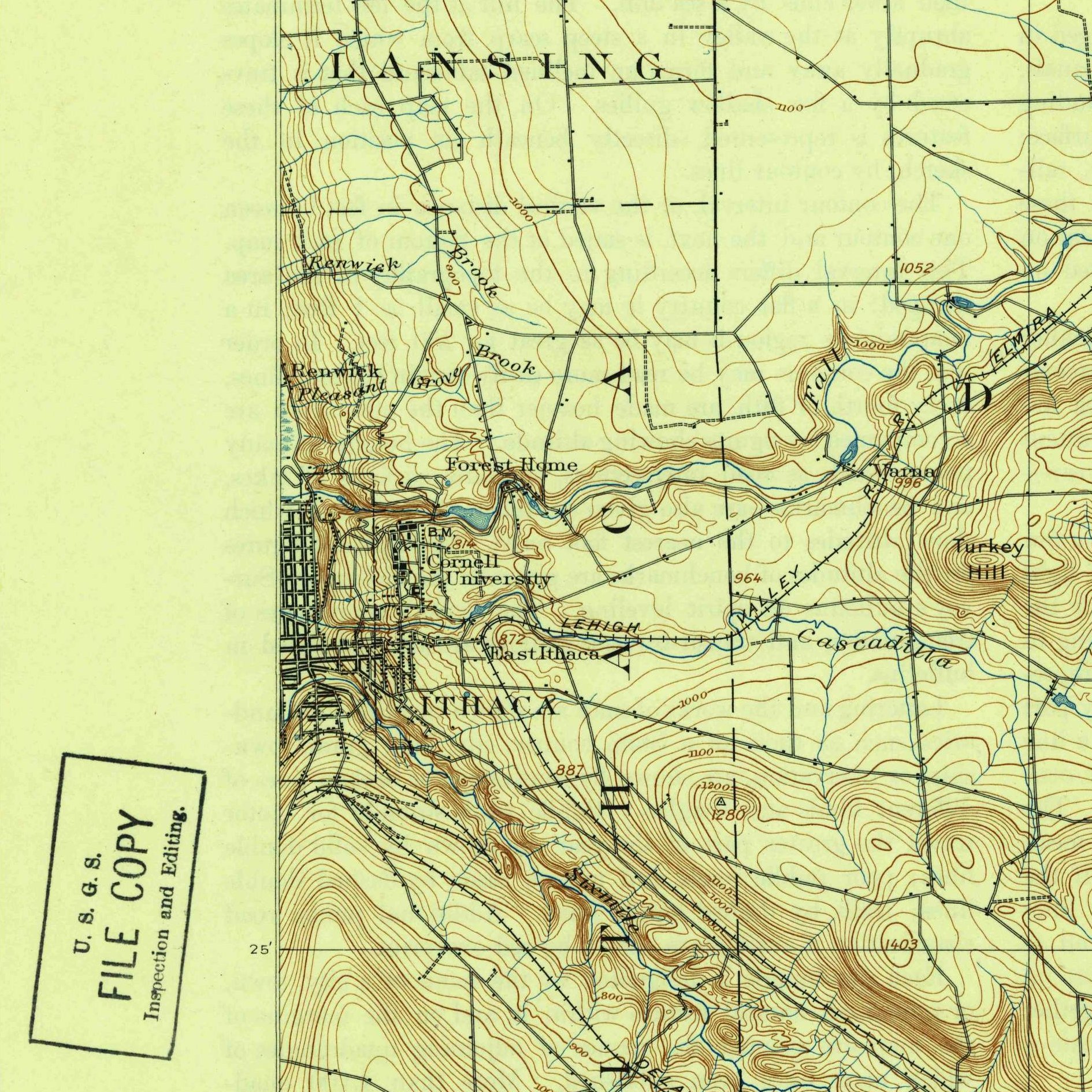
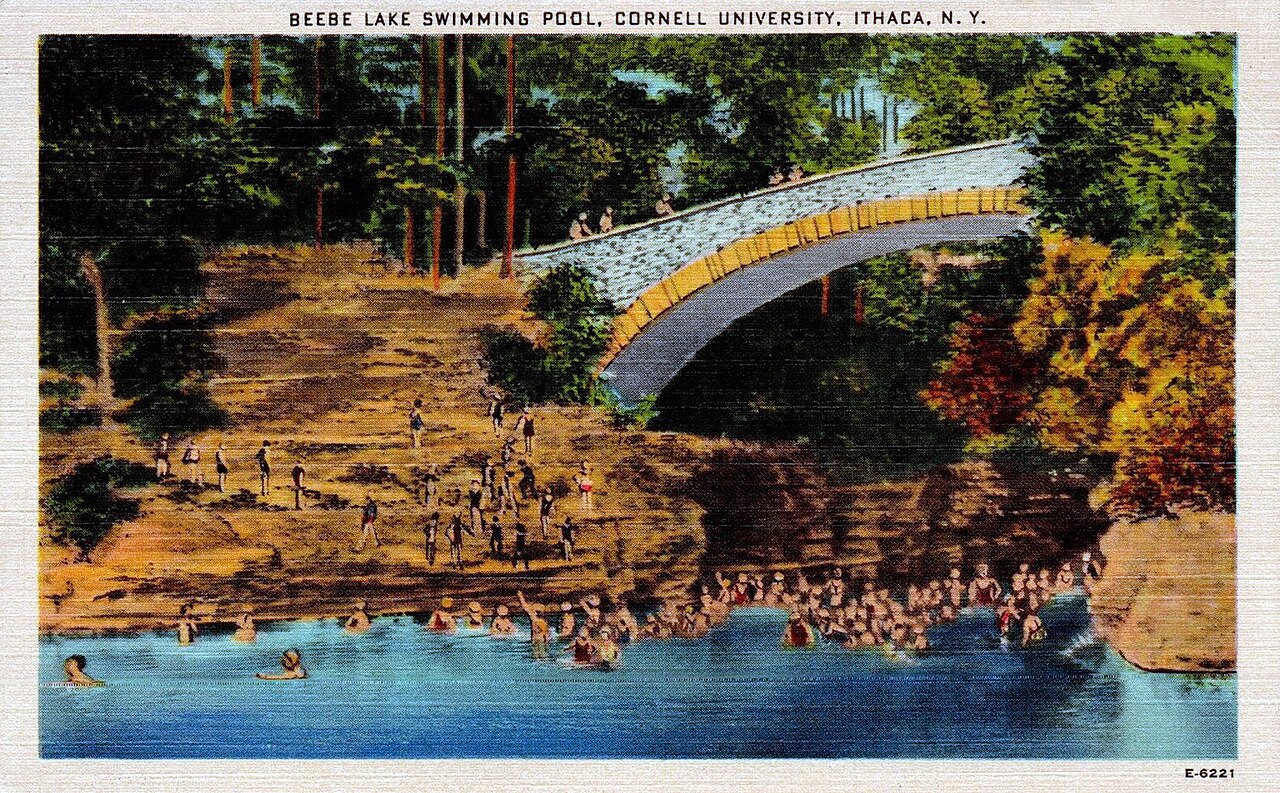
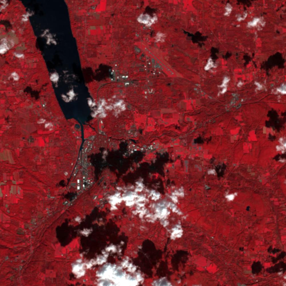
Aerial photographs, historical topographic surveys, lidar elevation, and ground imagery gathered for this place.
How to get more images
- USGS EarthExplorer (earthexplorer.usgs.gov, free account): Aerial Photo Single Frames, NHAP (1980–89, incl. color-infrared) and NAPP (1987–2007) covering this site. Medium-resolution scans download free; high-resolution film scans cost about $30 per frame (2–3 weeks).
- USDA FSA Aerial Photography Field Office (APFO, Salt Lake City): historic county-wide farm-program photos from the 1930s on, ordered by email/phone; scans run roughly $20–$50 per frame (check current price list).
- National Archives (College Park, Cartographic Branch): 1930s–1950s USDA/AAA aerials; free to view in person, reproductions through NARA's order service or approved vendors.
- the New York State Archives / state historical society and the state university map library (ask about historic aerial prints and scans); the state GIS clearinghouse for lidar.
- HistoricAerials.com (NETR Online): stitched historic aerials and topos by address; downloads/prints priced per image (often about $30–$80 for personal use; commercial licensing extra).
- Commercial satellite (Maxar/Vantor, Airbus, Planet via resellers such as SkyWatch or Apollo Mapping): archive scenes from ~$10–$25/km² with small minimum orders; new tasking costs more.
- Drone flight: a local FAA Part 107 pilot typically charges about $200–$600 for a basic photo/video shoot of a parcel; ask the landowner or site manager for permission first.
This sample report was researched from public records and checked against its sources. Historical research, not title or boundary advice.
← All 50 states, places & stories · Original 50 Picks Archive · Start your own Land File