50 States, 50 Places & 50 Stories › South Dakota
South Dakota sample place
Spearfish Canyon (Roughlock Falls) Lode, Flume & School Sec. 16
Parcel at a glance
The Spearfish Canyon (Roughlock Falls) State Nature Area and its adjoining rim sections sit along Little Spearfish and Spearfish Creeks in the northern Black Hills in Lawrence County, Township 5 North, Range 2 East, Sections 16, 20, and 30, Black Hills Meridian. Owned by the State of South Dakota (Department of Game, Fish and Parks) and bordering a state school section, this limestone canyon and travertine waterfall parcel shows what happens when gold-mining claims, hydroelectric water flumes, and agricultural homesteads collide on an isolated survey grid.
The land before the survey
For generations before American entry, the pine-clad canyons and thermal springs of Paha Sapa (the Black Hills) were sacred hunting, gathering, and ceremonial grounds of the Lakota and Dakota (Oceti Sakowin), Tsitsistas (Cheyenne), Hinono'eino (Arapaho), and Kiowa Nations, recognized inside the Great Sioux Reservation by the Treaty of Fort Laramie of April 29, 1868 (15 Stat. 635). After the 1874 Custer Expedition announced gold discoveries and Congress passed the contested Black Hills Act of February 28, 1877 (19 Stat. 254), federal surveyors established an isolated survey grid exclusively for western South Dakota—the 1878 Black Hills Meridian.
First owners and the paper trail
Because prospectors staked lode gold claims and dug water ditches in Spearfish Canyon years before General Land Office (GLO) deputy surveyors subdivided Township 5 North, Range 2 East in the 1880s and 1890s, the canyon's paper trail is a three-layer puzzle. First, miners patented angled rectangular Mineral Surveys under the 1872 General Mining Law across the canyon walls. Second, settlers filed Homestead entries on the narrow creek meadows around Roughlock Falls. Third, the Homestake Mining Company ([TO CONFIRM]: dates of its first Spearfish Canyon water rights; its hydroelectric plants date to the early 1900s) appropriated Vested Water Rights on Spearfish and Little Spearfish Creeks—boring tunnels and wood-stave pipelines across the canyon lots to generate hydroelectric power for the Lead gold mines before the State of South Dakota acquired the Roughlock Falls tract for a public nature area.
School-trust connection
Under the Omnibus Enabling Act of February 22, 1889 (25 Stat. 676), Congress granted South Dakota Sections 16 and 36 of every township for the support of common schools with a constitutional $10-per-acre minimum sale floor. Section 16 of T5N, R2E lies near the canyon rim ([TO CONFIRM]: exact position), illustrating how Black Hills timber and mineral school sections are managed by the South Dakota Office of School and Public Lands.
What records survive and where to look
- County GIS, Plats & Vested Water Rights: Lawrence County's open GIS portal provides downloadable recorded Plat PDFs and assessor cards, while the South Dakota DANR Water Rights Program hosts free online scans of territorial Vested Water Rights dating back to 1876–1878.
- Mineral Surveys & Courthouse Deeds: The BLM GLO portal holds both the rectangular homestead patents and the overlapping angled Mineral Survey plats and field notes, and Lawrence County Deed Books back to 1877 are digitized on FamilySearch.
What we are still confirming
- The exact Mineral Survey (MS) numbers and Deadwood Land Office "Adverse Claim" protest files where 1880s lode claims overlapped the agricultural homestead entry at Roughlock Falls, and the historic timber-sale ledger entries for neighboring Section 16, T5N, R2E.
Historical & landscape images
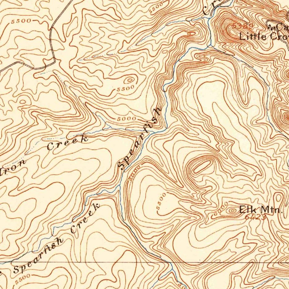
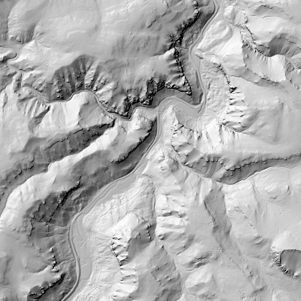
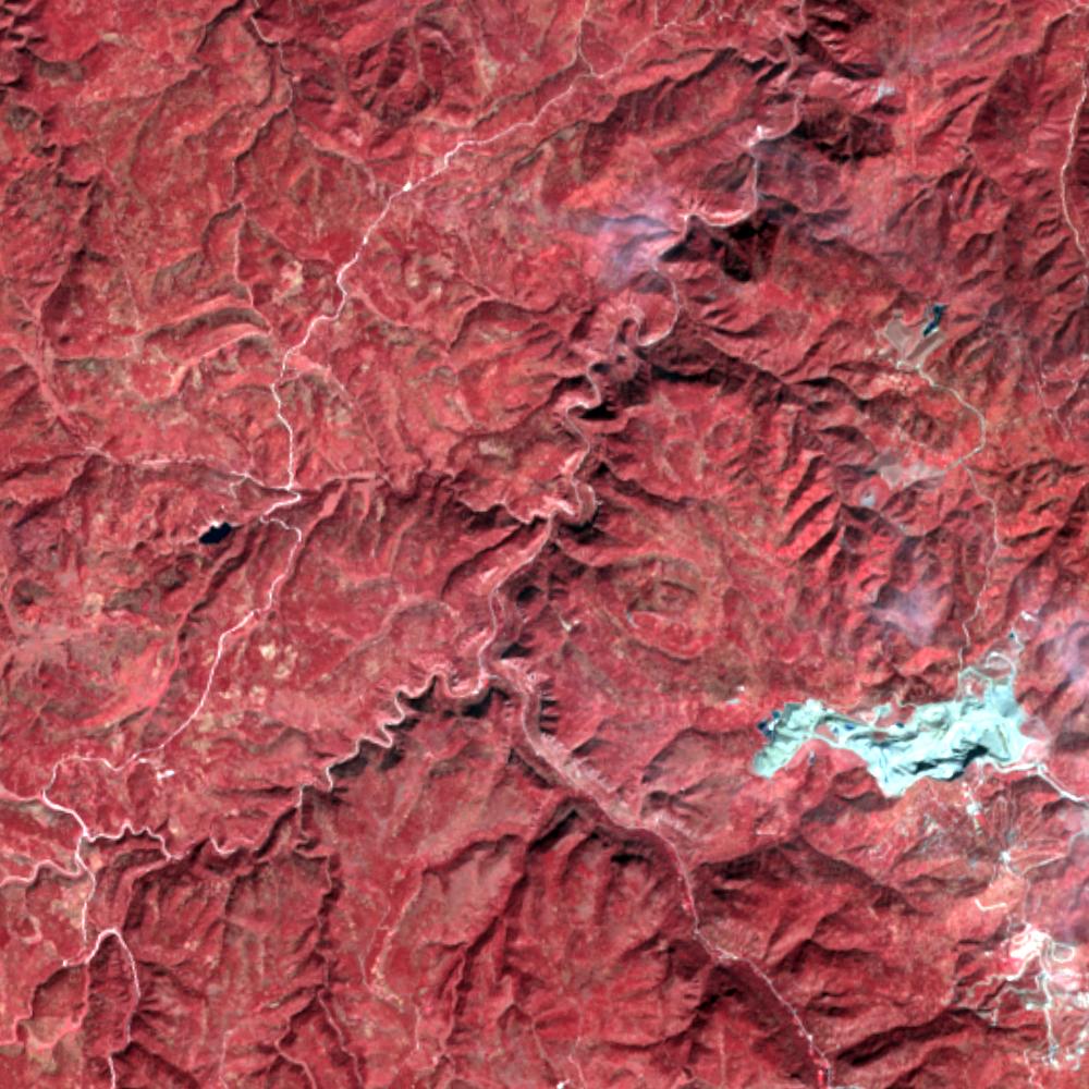
Aerial photographs, historical topographic surveys, lidar elevation, and ground imagery gathered for this place.

How to get more images
- USGS EarthExplorer (earthexplorer.usgs.gov, free account): Aerial Photo Single Frames, NHAP (1980–89, incl. color-infrared) and NAPP (1987–2007) covering this site. Medium-resolution scans download free; high-resolution film scans cost about $30 per frame (2–3 weeks).
- USDA FSA Aerial Photography Field Office (APFO, Salt Lake City): historic county-wide farm-program photos from the 1930s on, ordered by email/phone; scans run roughly $20–$50 per frame (check current price list).
- National Archives (College Park, Cartographic Branch): 1930s–1950s USDA/AAA aerials; free to view in person, reproductions through NARA's order service or approved vendors.
- the South Dakota State Archives / state historical society and the state university map library (ask about historic aerial prints and scans); the state GIS clearinghouse for lidar.
- HistoricAerials.com (NETR Online): stitched historic aerials and topos by address; downloads/prints priced per image (often about $30–$80 for personal use; commercial licensing extra).
- Commercial satellite (Maxar/Vantor, Airbus, Planet via resellers such as SkyWatch or Apollo Mapping): archive scenes from ~$10–$25/km² with small minimum orders; new tasking costs more.
- Drone flight: a local FAA Part 107 pilot typically charges about $200–$600 for a basic photo/video shoot of a parcel; ask the landowner or site manager for permission first.
This sample report was researched from public records and checked against its sources. Historical research, not title or boundary advice.
← All 50 states, places & stories · Original 50 Picks Archive · Start your own Land File