50 States, 50 Places & 50 Stories › Utah
Utah sample place
Golden Spike NHP & Promontory School-Section Swap
Parcel at a glance
Golden Spike National Historical Park sits at Promontory Summit north of the Great Salt Lake in Box Elder County, Township 10 North, Range 6 West, Sections 1, 2, 11, and 12 (with right-of-way wings into T11N, R5W, Sec. 32 and T10N, R7W, Sec. 36), Salt Lake Meridian. Owned by the National Park Service, this public headline sample is paired on YourLandHistory.org with Utah's live multi-lot worked example—the Provo Bench 2-Lot Orchard in Utah County (T6S, R2E, SLM)—and runner-up Topaz War Relocation Center in Millard County.
The land before the survey
For thousands of years before American surveying, the high sagebrush valleys and limestone passes of the Promontory Range were seasonal hunting, pinyon-nut harvesting, and winter camping grounds of the Northwestern Band of the Shoshone Nation (signatories to the 1863 Treaty of Box Elder). While Mormon pioneers in Utah Valley dug community irrigation canals across the Provo Bench in the 1850s years before the Salt Lake Federal Land Office opened in 1869, the dry divide of Promontory Summit remained open public domain as GLO deputy surveyors extended the Salt Lake Meridian across Box Elder County.
First owners and the paper trail
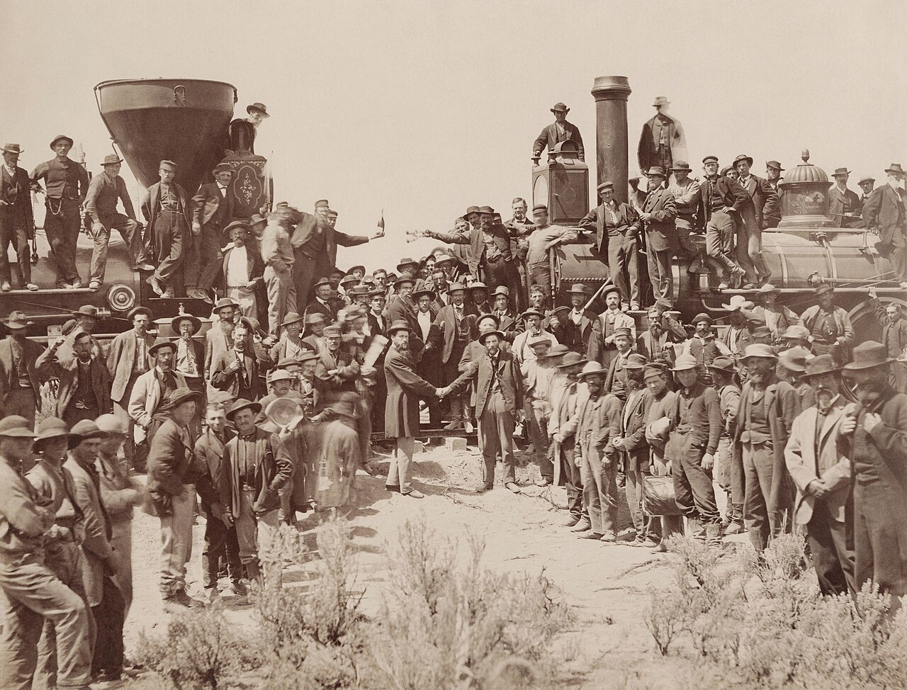
Under the Pacific Railway Acts of 1862 and 1864, Congress granted the Union Pacific and Central Pacific Railroads alternate odd-numbered sections along the line—five per side per mile under the 1862 Act, doubled to ten per side (reaching 20 miles out) in 1864. Racing from east and west, the two railroads graded parallel embankments across the Promontory Range and met in Section 11, T10N, R6W (an odd-numbered railroad section) to drive the Golden Spike on May 10, 1869. After the 1904 Lucin Cut-Off trestle across the Great Salt Lake bypassed the mountain grade, the Promontory rails were torn up for wartime scrap steel in 1942. Surrounding even-numbered sections were patented by dryland wheat farmers and cattle ranchers until Congress established the national park site in 1965 (Pub. L. 89-102).
School-trust connection
Under Section 6 of the Utah Enabling Act of July 16, 1894 (28 Stat. 107), Congress granted Utah four school sections in every township—Sections 2, 16, 32, and 36. Directly bordering the Last Spike site on the north is Section 2, T10N, R6W, a 640-acre state school section, while the historic rail grade also crossed state school lands in Section 32 (T11N, R5W) and Section 36 (T10N, R7W). To consolidate the park under Pub. L. 89-102 (1965) and Pub. L. 96-344 (1980), Congress authorized an exchange trading outside federal public domain to Utah's school trust in exchange for roughly 634 acres of state school land inside the park.
What records survive and where to look
- Statewide Parcels, NPS & Railroad Files: Utah's UGRC Statewide Parcel layer is live on the platform, supplemented by NPS Land Status and Historic Resource Studies, BLM railroad grant lists, the famous 1869 photographs, and the 1965 and 1980 congressional exchange records.
- County Tract Indexes: Both Box Elder County and Utah County maintain digitized Geographical Abstract (Tract) books back to the 1870s on FamilySearch and county recorder portals.
What we are still confirming
- The exact BLM Exchange Patent accession numbers and Utah SITLA (School and Institutional Trust Lands Administration) deeds identifying the outside federal parcels Utah received in exchange for the ~634 acres of state school land in Sections 2, 32, and 36 at Promontory Summit.
Historical & landscape images
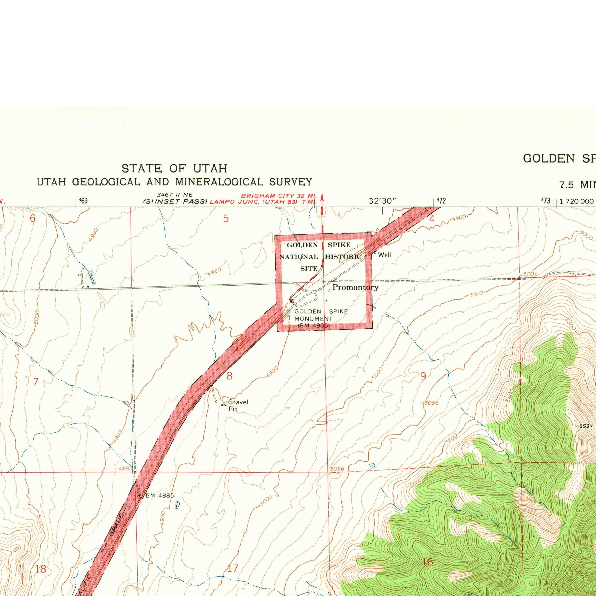
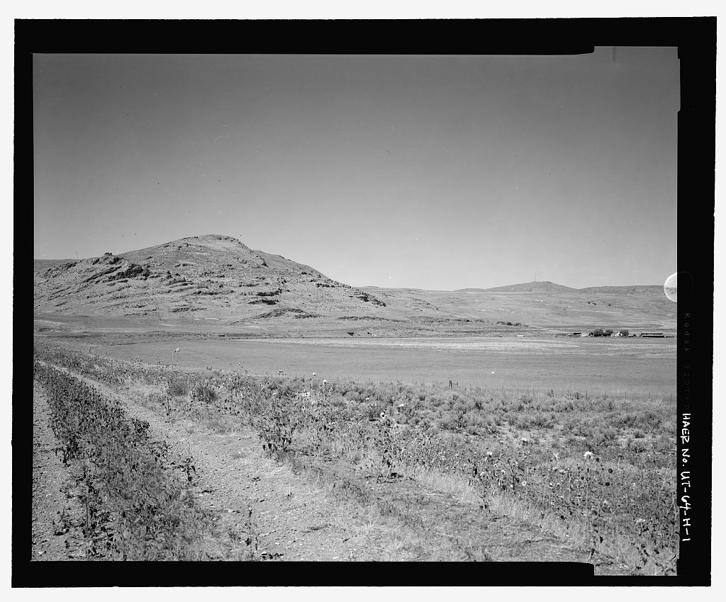
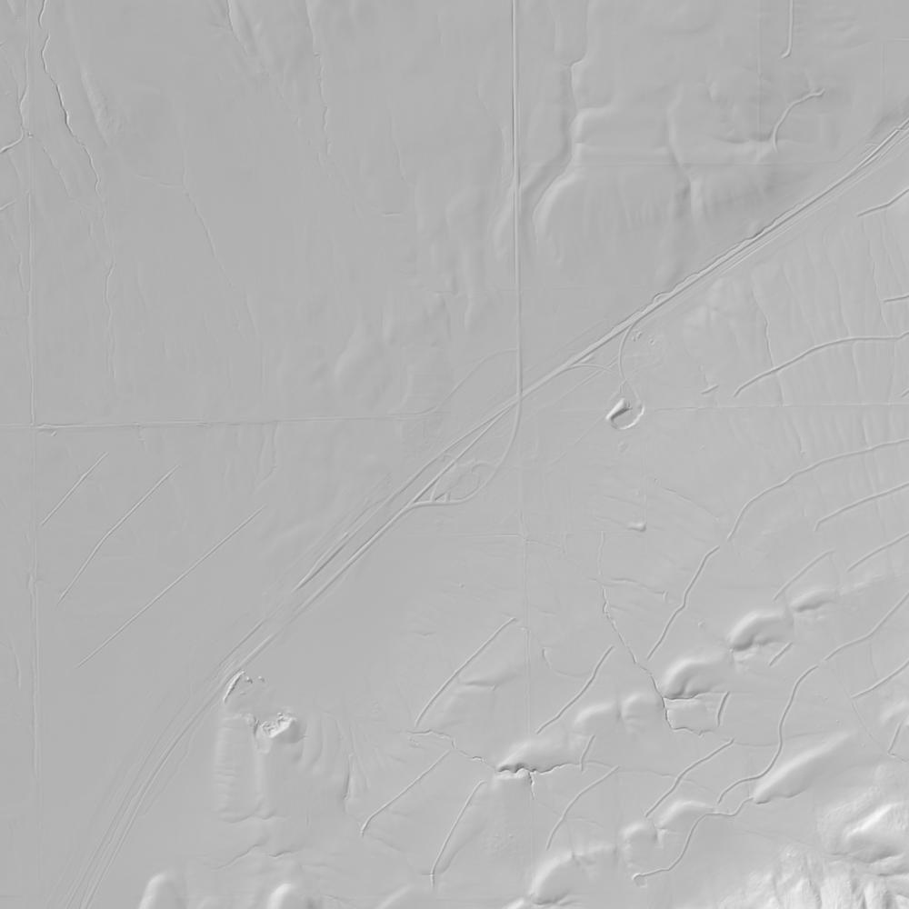
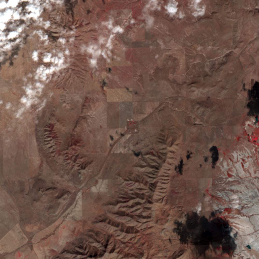
Aerial photographs, historical topographic surveys, lidar elevation, and ground imagery gathered for this place.

How to get more images
- USGS EarthExplorer (earthexplorer.usgs.gov, free account): Aerial Photo Single Frames, NHAP (1980–89, incl. color-infrared) and NAPP (1987–2007) covering this site. Medium-resolution scans download free; high-resolution film scans cost about $30 per frame (2–3 weeks).
- USDA FSA Aerial Photography Field Office (APFO, Salt Lake City): historic county-wide farm-program photos from the 1930s on, ordered by email/phone; scans run roughly $20–$50 per frame (check current price list).
- National Archives (College Park, Cartographic Branch): 1930s–1950s USDA/AAA aerials; free to view in person, reproductions through NARA's order service or approved vendors.
- the Utah State Archives / state historical society and the state university map library (ask about historic aerial prints and scans); the state GIS clearinghouse for lidar.
- HistoricAerials.com (NETR Online): stitched historic aerials and topos by address; downloads/prints priced per image (often about $30–$80 for personal use; commercial licensing extra).
- Commercial satellite (Maxar/Vantor, Airbus, Planet via resellers such as SkyWatch or Apollo Mapping): archive scenes from ~$10–$25/km² with small minimum orders; new tasking costs more.
- Drone flight: a local FAA Part 107 pilot typically charges about $200–$600 for a basic photo/video shoot of a parcel; ask the landowner or site manager for permission first.
This sample report was researched from public records and checked against its sources. Historical research, not title or boundary advice.
← All 50 states, places & stories · Original 50 Picks Archive · Start your own Land File