50 States, 50 Places & 50 Stories › Hawaii
Hawaii sample place
Ulupō Heiau & Kawainui Loʻi Kalo (Ahupuaʻa of Kailua)
Parcel at a glance
The Ulupō Heiau State Historic Site and the adjoining Kawainui Loʻi Kalo (taro terraces) sit on the eastern edge of the Kawainui Marsh in Honolulu County (Oahu), Tax Map Key (TMK) 1-4-2-003, inside the traditional Ahupuaʻa of Kailua, Koʻolaupoko District. Owned by the State of Hawaii (Department of Land and Natural Resources) and stewarded in partnership with Native Hawaiian cultural organizations, this spring-fed agricultural and temple complex shows how Hawaii's non-grid land titles work from mountain ridge to reef.
The land before the survey
Hawaii has no federal rectangular survey grid. For centuries before Western contact, Hawaiian land management was organized around the ahupuaʻa—a wedge-shaped watershed division running from the mountain summits (mauka) down to the coastal reef (makai). Within the rich Ahupuaʻa of Kailua, early Hawaiians built the massive stone platform of Ulupō Heiau overlooking hundreds of acres of walled wetland taro ponds (loʻi kalo) watered by stone-lined gravity ditches (ʻauwai) fed by perennial freshwater springs.
First owners and the paper trail
Modern written title in Hawaii begins with the 1848 Great Māhele under King Kamehameha III, which divided the islands' lands among the Crown, the Government, the Chiefs (Konohiki), and commoner tenant farmers. In the 1848 division, the Ahupuaʻa of Kailua was awarded to Queen Kalama (Land Commission Award 4452, which also covered Kāneʻohe), while between 1848 and 1855 the Board of Commissioners to Quiet Land Titles issued individual fee-simple Land Commission Awards (LCAs)—known as Kuleana awards—to Native Hawaiian farmers who proved through sworn Hawaiian-language testimony that they actively cultivated specific taro patches (loʻi) and house lots (pā hale) below Ulupō Heiau. In the late 19th and 20th centuries, the surrounding marsh and uplands were leased for cattle ranching and sugar/rice cultivation before the heiau site passed to Territorial Parks in 1954; it is now a State Historic Site under DLNR State Parks.
School-trust connection
Following the 1893 overthrow of the Hawaiian Kingdom and the 1898 Newlands Resolution, former Crown and Government lands passed to the United States and were returned to the state under Section 5(f) of the Hawaii Admission Act of March 18, 1959 (73 Stat. 4). ([TO CONFIRM]: whether the Ulupō parcel itself is § 5(f) ceded land rather than later-acquired land.) That compact requires Hawaii to hold these "Ceded Lands" as a public trust for five statutory purposes—the first of which is the support of public schools, alongside the betterment of the conditions of Native Hawaiians.
What records survive and where to look
- Māhele & Kuleana GIS: The Office of Hawaiian Affairs Kīpuka GIS database maps every Ahupuaʻa, Royal Patent, and Kuleana LCA statewide, linking directly to scans of the 1848–1855 Native and Foreign Testimony volumes.
- Statewide Deeds & Historic Maps: Hawaii's single Statewide Bureau of Conveyances in Honolulu preserves deed books back to 1845 (digitized on FamilySearch), while the State Survey Office hosts scanned 19th-century Registered Maps of Kailua.
What we are still confirming
- The exact 1850 Land Commission Award (LCA) numbers and English translations of the Hawaiian-language boundary testimonies for the individual kuleana taro patches immediately below the heiau spring.
- The exact Bureau of Conveyances Liber and Page citations for the 20th-century ranching leases prior to state park designation.
Historical & landscape images
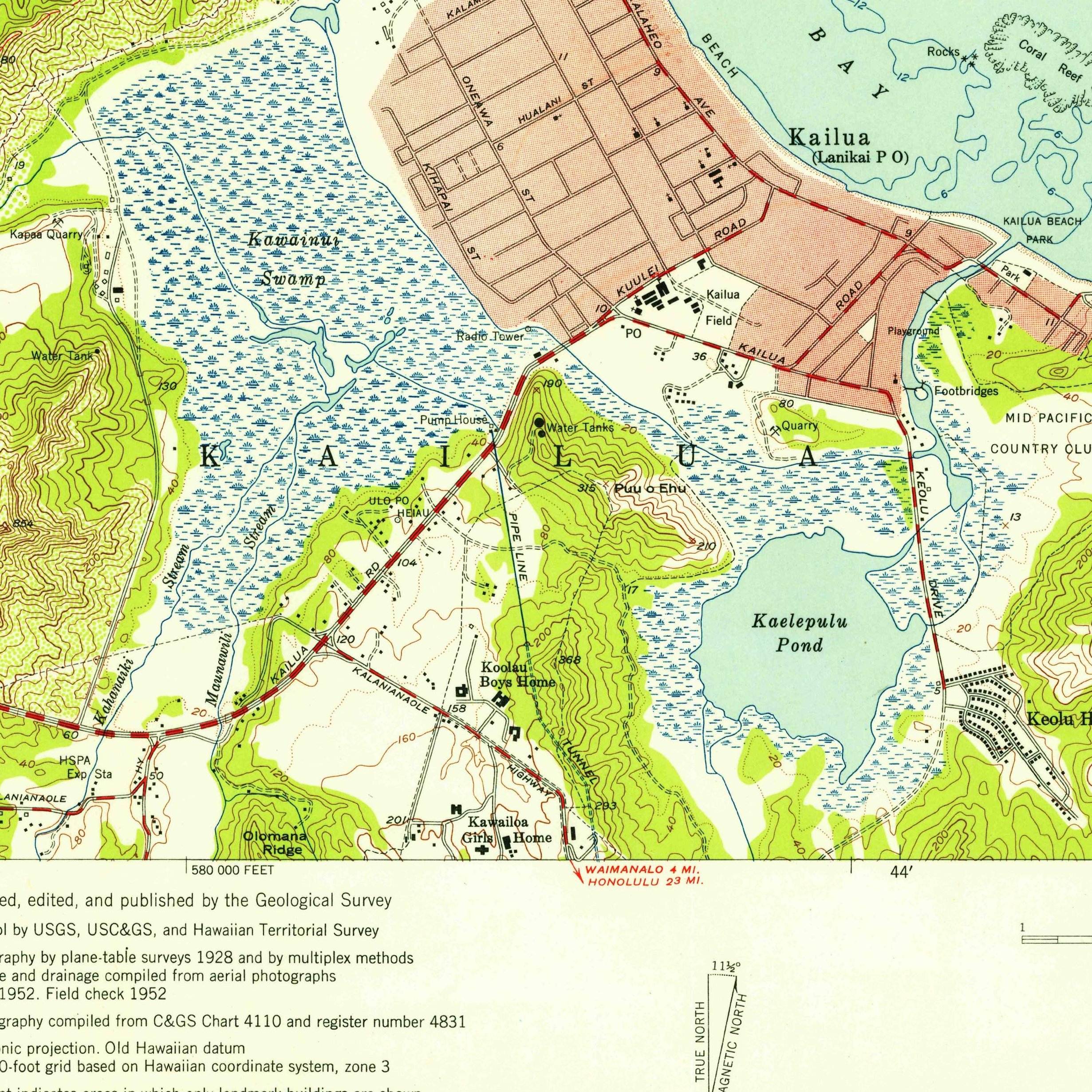
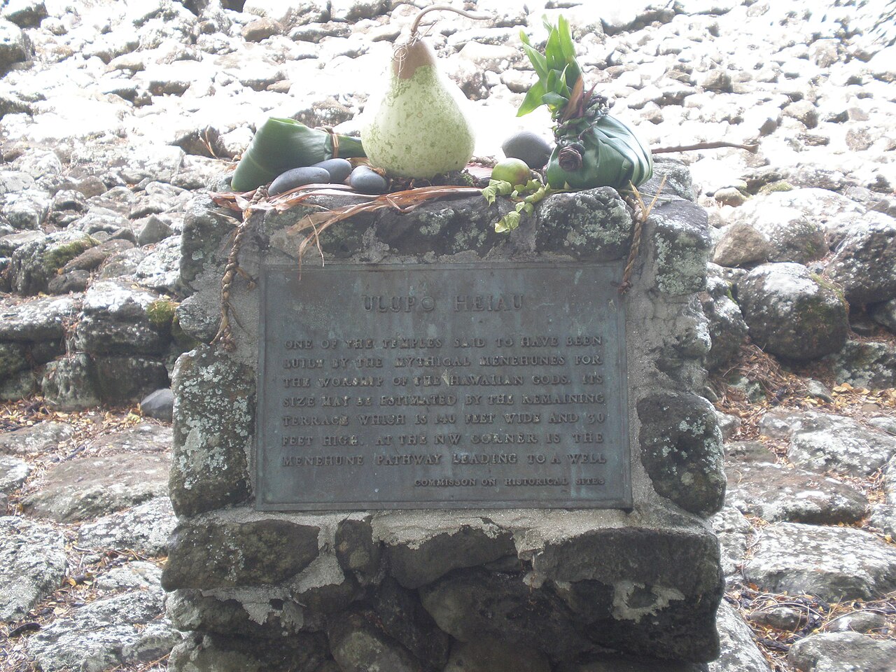
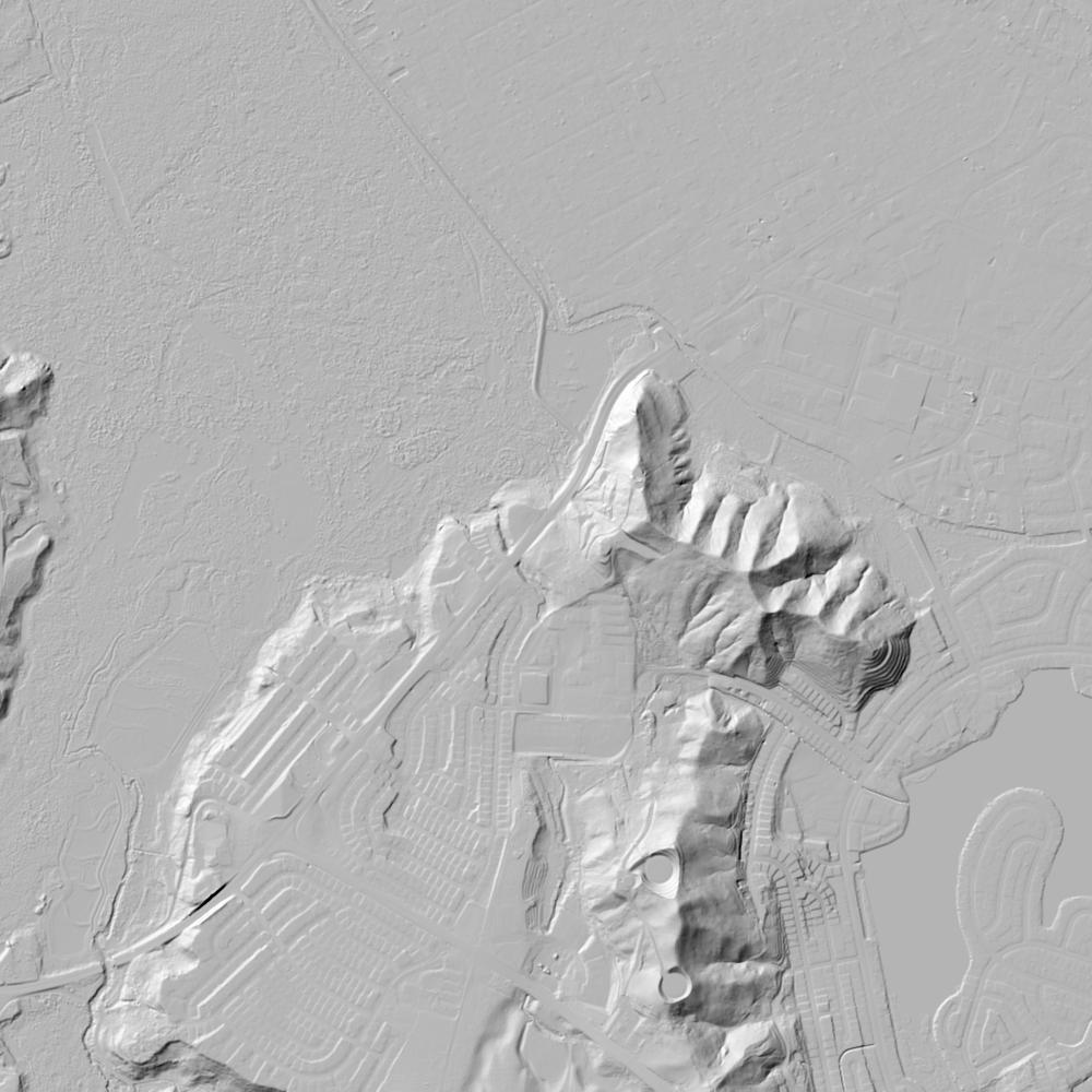
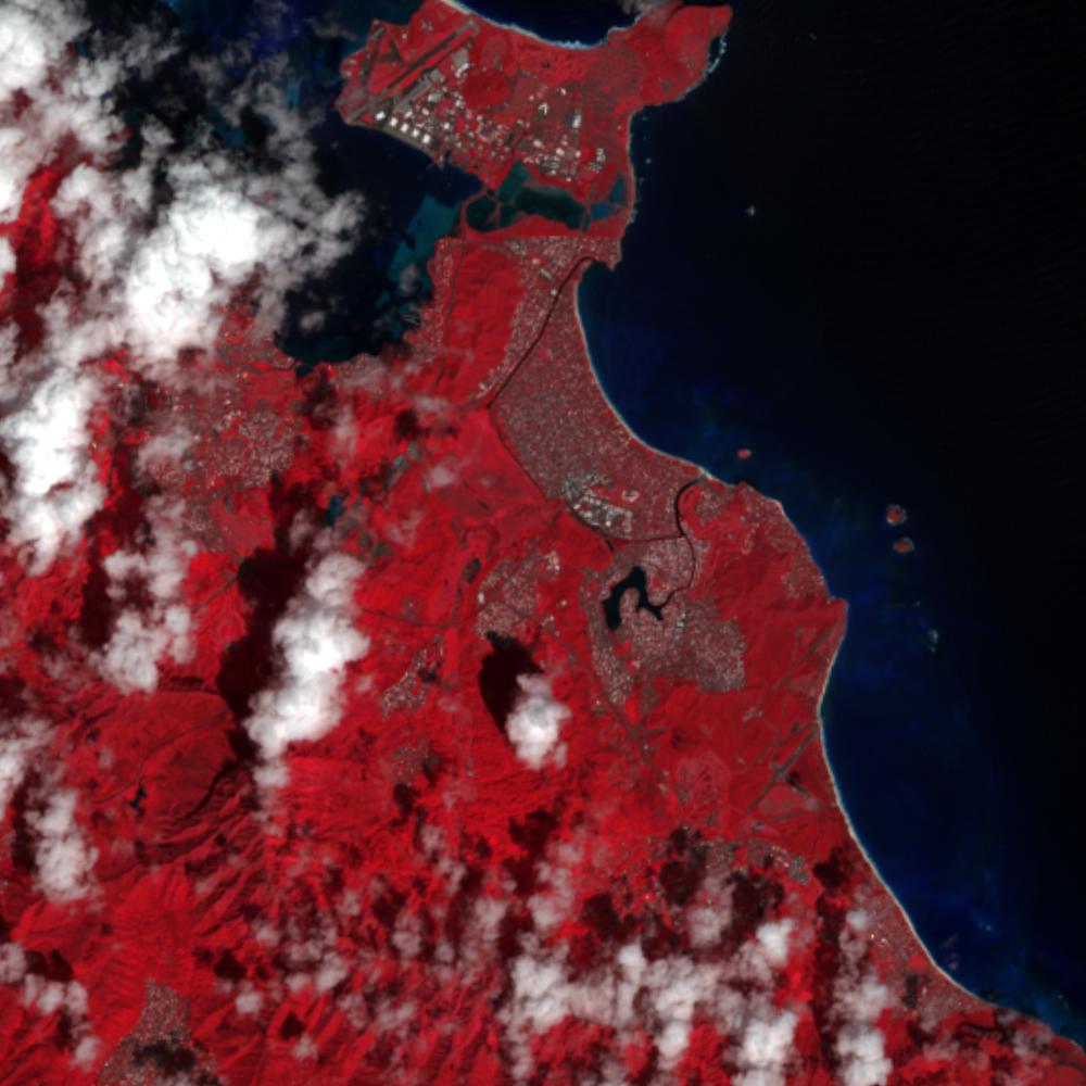
Aerial photographs, historical topographic surveys, lidar elevation, and ground imagery gathered for this place.
How to get more images
- USGS EarthExplorer (earthexplorer.usgs.gov, free account): Aerial Photo Single Frames, NHAP (1980–89, incl. color-infrared) and NAPP (1987–2007) covering this site. Medium-resolution scans download free; high-resolution film scans cost about $30 per frame (2–3 weeks).
- USDA FSA Aerial Photography Field Office (APFO, Salt Lake City): historic county-wide farm-program photos from the 1930s on, ordered by email/phone; scans run roughly $20–$50 per frame (check current price list).
- National Archives (College Park, Cartographic Branch): 1930s–1950s USDA/AAA aerials; free to view in person, reproductions through NARA's order service or approved vendors.
- Hawaii State Archives aerial photo collection and UH Manoa MAGIS.
- HistoricAerials.com (NETR Online): stitched historic aerials and topos by address; downloads/prints priced per image (often about $30–$80 for personal use; commercial licensing extra).
- Commercial satellite (Maxar/Vantor, Airbus, Planet via resellers such as SkyWatch or Apollo Mapping): archive scenes from ~$10–$25/km² with small minimum orders; new tasking costs more.
- Drone flight: a local FAA Part 107 pilot typically charges about $200–$600 for a basic photo/video shoot of a parcel; ask the landowner or site manager for permission first.
This sample report was researched from public records and checked against its sources. Historical research, not title or boundary advice.
← All 50 states, places & stories · Original 50 Picks Archive · Start your own Land File