50 States, 50 Places & 50 Stories › Mississippi
Mississippi sample place
Pontotoc Ridge / Lochinvar Chickasaw Reserve & 16th-Sec. Edge
Parcel at a glance
The Lochinvar historic estate and adjoining Pontotoc Ridge woodland parcels sit just south of the town of Pontotoc in Pontotoc County, Township 9 South, Range 3 East, Sections 16, 20, and 29, Chickasaw Meridian. Anchored on the National Register-listed 1830s Pontotoc Land Office era estate and neighboring creek-bottom tracts, this property showcases the unique Indian-trust survey and living 16th-Section school-lease system of Mississippi.
The land before the survey
For centuries, the oak-hickory ridges and prairie valleys of northern Mississippi were the sovereign homeland and council center of the Chickasaw Nation. Unlike most public-land states, north Mississippi's survey grid was created directly by a bilateral treaty between two nations: under the Treaty of Pontotoc Creek of October 20, 1832 (7 Stat. 381), the Chickasaw Nation agreed to have its 6.4-million-acre homeland surveyed on its own dedicated Chickasaw Meridian. Between 1833 and 1835, federal deputy surveyors ran township and section lines directly past Chickasaw council grounds, peach orchards, and fenced farms.
First owners and the paper trail
Under the 1832 Treaty of Pontotoc Creek and the 1834 Treaty of Washington, every Chickasaw household first received a fee-simple Chickasaw Treaty Reserve (ranging from one to four full 640-acre sections), while all remaining unreserved sections were auctioned at the Pontotoc Land Office specifically in trust for the Chickasaw Nation (with all net proceeds deposited into the Chickasaw National Fund rather than the U.S. Treasury). In the late 1830s, Scottish immigrant Robert Gordon—who attended the opening Pontotoc land sales—purchased his home tract directly from named Chickasaw reserve holders (recorded in Pontotoc County's 1836–1840 Deed Books; [TO CONFIRM]: chiefs' and agent's certifications on these deeds) and built the Lochinvar estate.
School-trust connection
Because the United States sold the Chickasaw Cession strictly as trustee for the Chickasaw Nation rather than as ordinary federal public domain, Section 16 in T9S, R3E was sold for Chickasaw benefit and did not automatically pass to Mississippi's schools. To make the public schools whole, Congress enacted the Act of July 4, 1836 (5 Stat. 116), granting Mississippi an amount of public land equal to 1/36th of the entire Chickasaw Cession as Chickasaw School Indemnity Lands—while across the rest of the state, local school boards still hold title to their original Section 16s and lease them out under renewable 16th-Section School Leases.
What records survive and where to look
- Unburned 1836 Chickasaw Deeds & Patents: Pontotoc County escaped Civil War courthouse destruction, and its complete 1836–1920 Deed Books (showing original conveyances from named Chickasaw reserve owners) are digitized on FamilySearch alongside BLM GLO Chickasaw Reserve patents and 1833–1835 survey notes.
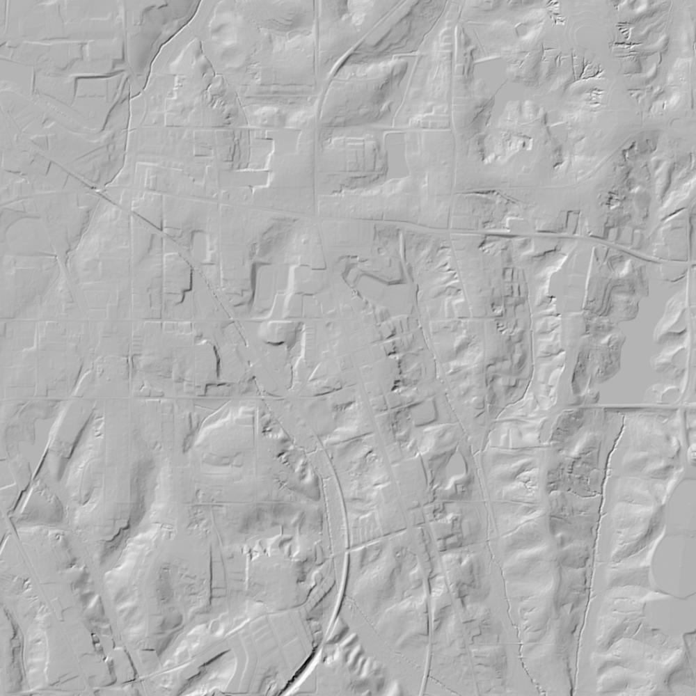
- State 16th-Section GIS: The Mississippi Secretary of State publishes an open interactive 16th-Section School Lands GIS Viewer, supplemented by statewide MARIS parcel polygons and lidar.
What we are still confirming
- The exact Chickasaw Reserve roll number and Indian Agent certification date in the NARA Chickasaw Location Registers for Sections 16, 20, and 29 of T9S, R3E.
Historical & landscape images
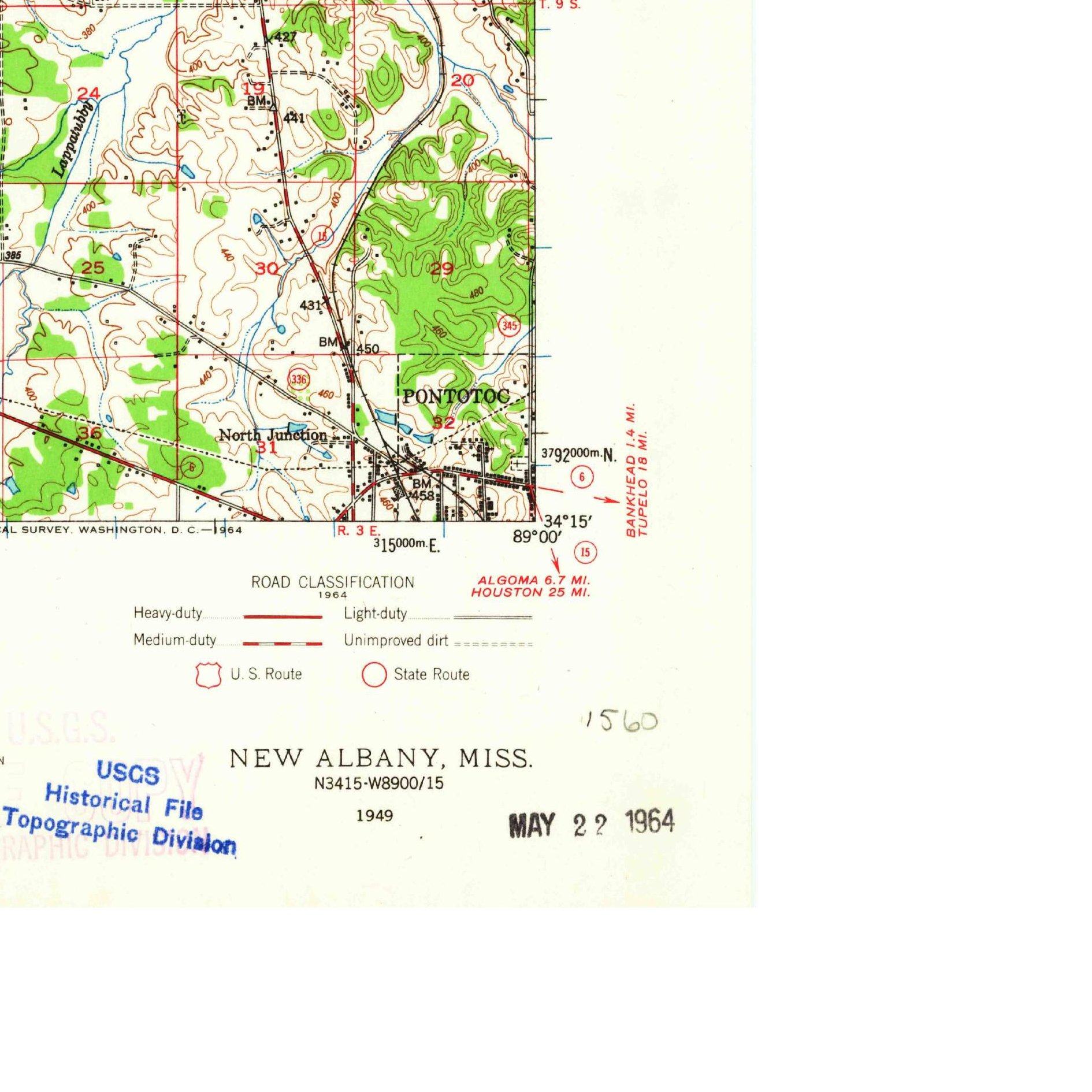
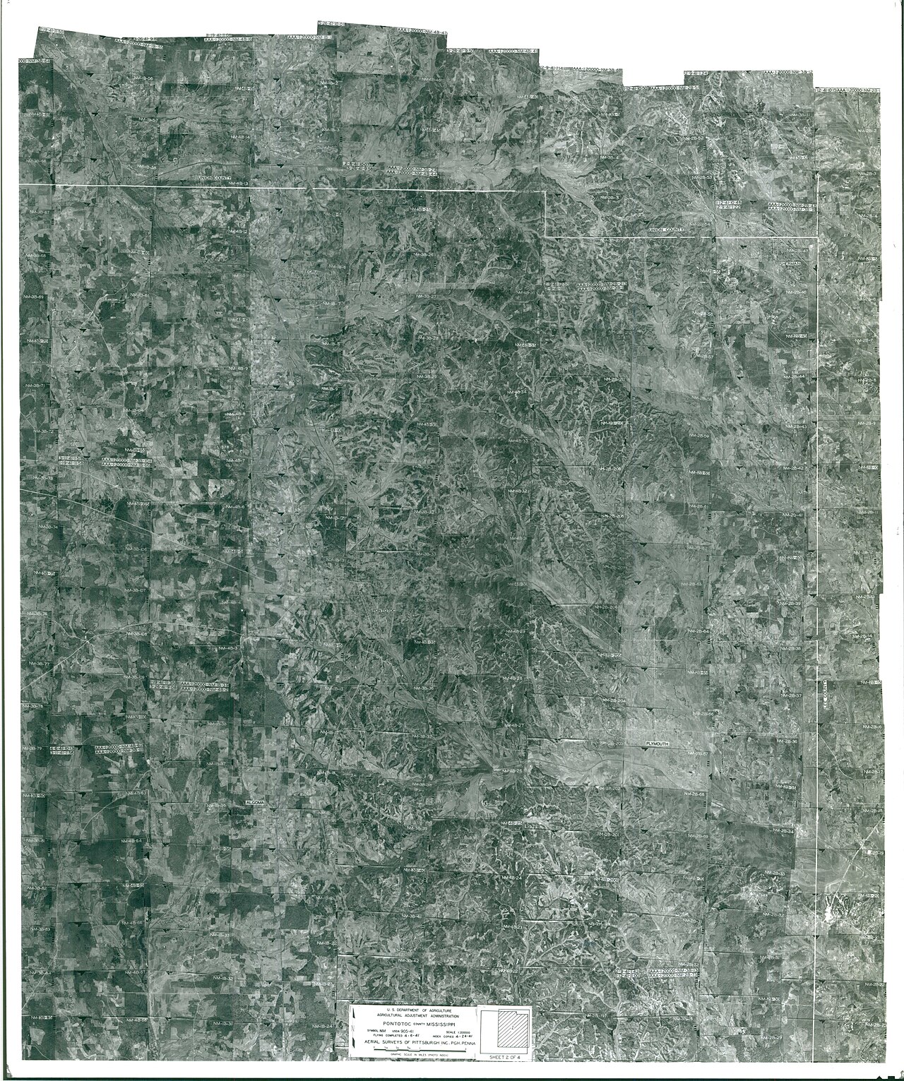
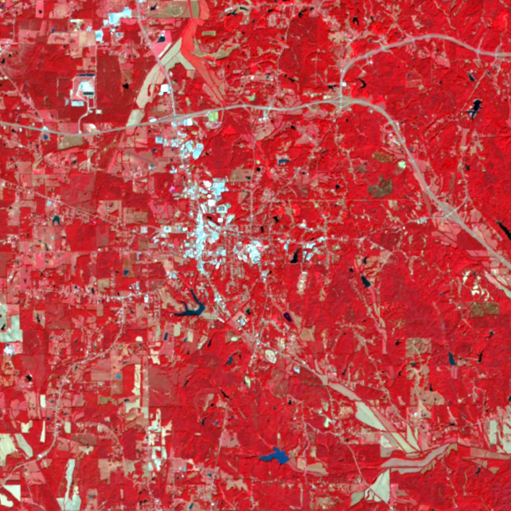
Aerial photographs, historical topographic surveys, lidar elevation, and ground imagery gathered for this place.
How to get more images
- USGS EarthExplorer (earthexplorer.usgs.gov, free account): Aerial Photo Single Frames, NHAP (1980–89, incl. color-infrared) and NAPP (1987–2007) covering this site. Medium-resolution scans download free; high-resolution film scans cost about $30 per frame (2–3 weeks).
- USDA FSA Aerial Photography Field Office (APFO, Salt Lake City): historic county-wide farm-program photos from the 1930s on, ordered by email/phone; scans run roughly $20–$50 per frame (check current price list).
- National Archives (College Park, Cartographic Branch): 1930s–1950s USDA/AAA aerials; free to view in person, reproductions through NARA's order service or approved vendors.
- the Mississippi State Archives / state historical society and the state university map library (ask about historic aerial prints and scans); the state GIS clearinghouse for lidar.
- HistoricAerials.com (NETR Online): stitched historic aerials and topos by address; downloads/prints priced per image (often about $30–$80 for personal use; commercial licensing extra).
- Commercial satellite (Maxar/Vantor, Airbus, Planet via resellers such as SkyWatch or Apollo Mapping): archive scenes from ~$10–$25/km² with small minimum orders; new tasking costs more.
- Drone flight: a local FAA Part 107 pilot typically charges about $200–$600 for a basic photo/video shoot of a parcel; ask the landowner or site manager for permission first.
This sample report was researched from public records and checked against its sources. Historical research, not title or boundary advice.
← All 50 states, places & stories · Original 50 Picks Archive · Start your own Land File