50 States, 50 Places & 50 Stories › Alaska
Alaska sample place
Rebarchek Colony Farm (1935 Matanuska Tract #52)
Parcel at a glance
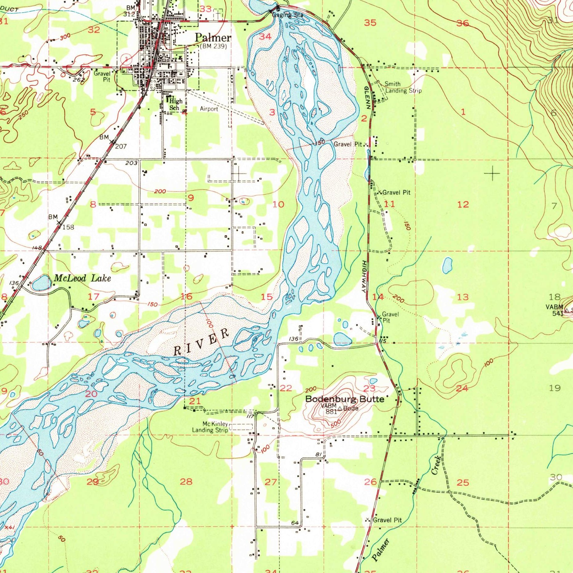
The Rebarchek Colony Farm sits at the base of Bodenburg Butte just south of Palmer in the Matanuska-Susitna Borough, Township 17 North, Range 2 East, Section 4, Seward Meridian. Owned since 2002 by the Alaska State Fair as its Rebarchek Ag Park historical farmstead, this 40-acre parcel (Matanuska Colony Tract #52; the locked table's "#122" is incorrect per the 1978 NRHP nomination) is one of the best-documented surviving homesteads from the 1935 New Deal Matanuska Valley Colony.
The land before the survey
For generations before foreign contact, the lower Matanuska and Knik River valleys were the homeland of the Dena'ina Athabascan and Ahtna peoples, who maintained seasonal salmon camps, hunting trails, and village sites across the valley floor. After the United States purchased Alaska from the Russian Empire under the 1867 Treaty of Cession (15 Stat. 539), federal surveyors extended the Seward Meridian northward into the Matanuska Valley between 1912 and the 1920s alongside construction of the federal Alaska Railroad, mapping deep wind-blown glacial silt (loess) soils over gravel outwash plains.
First owners and the paper trail
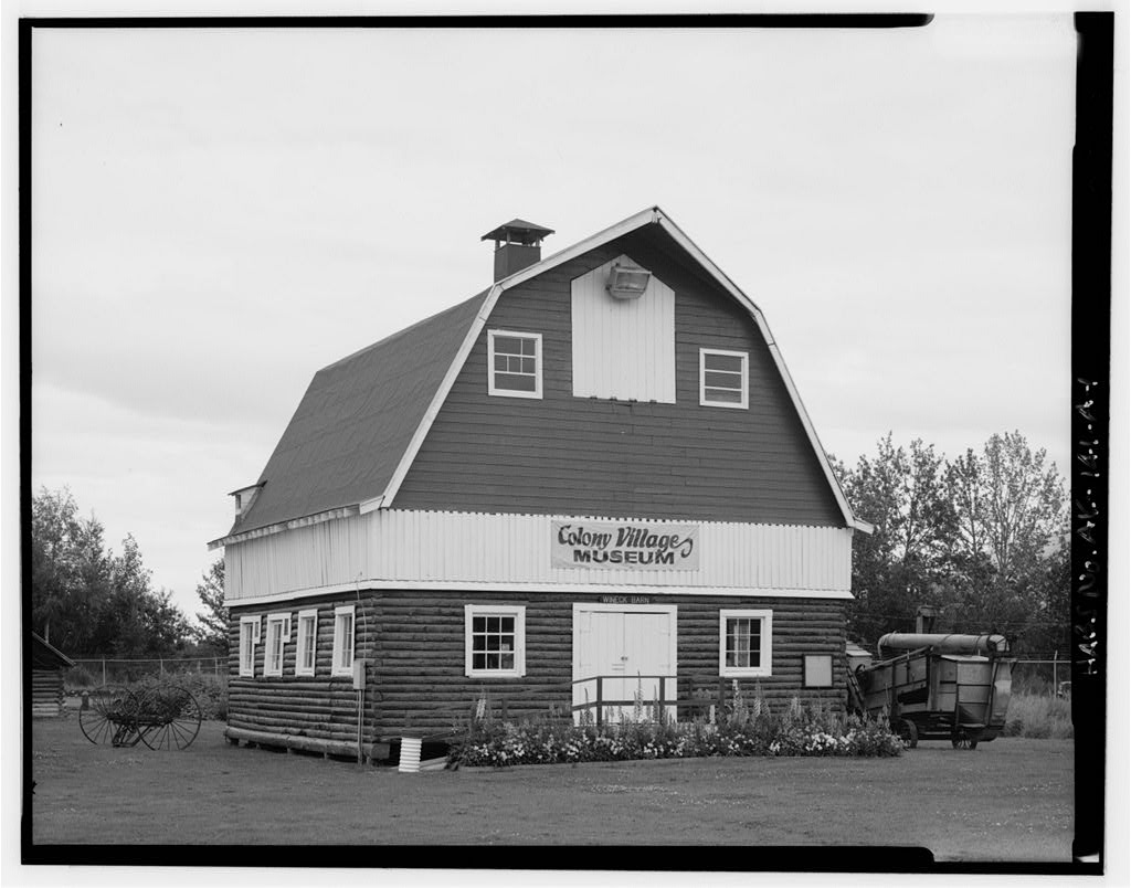
In May 1935, during the Great Depression, the federal Alaska Rural Rehabilitation Corporation (ARRC) brought 202 relief families from northern Minnesota, Wisconsin, and Michigan to settle the Matanuska Valley. In the May 1935 land lottery, Minnesota colonist Raymond Rebarchek drew 40-acre Tract #52 (on May 23, 1935). Living in canvas tents while clearing dense birch and spruce timber, the Rebarchek family built the colony's first log house, operated a Grade A dairy farm for decades, and paid off their ARRC purchase contract ([TO CONFIRM]: exact form of the title Rebarchek received). Listed on the National Register of Historic Places on October 3, 1978, the farm was purchased by the Alaska State Fair in 2002.
School-trust connection
Under the Territorial School Lands Act of March 4, 1915 (38 Stat. 1214), Congress reserved Sections 16 and 36 of every surveyed township in Alaska to support territorial public schools—including Section 16 of T17N, R2E ([TO CONFIRM]: distance and direction from the farm) in T17N, R2E. Following the 1958 Alaska Statehood Act and the 1956 Mental Health Enabling Act, the 1978 Legislature redesignated the mental health trust lands as general state land; the resulting lawsuit was settled in 1994, reconstituting today's Alaska Mental Health Trust land base.
What records survive and where to look
- Borough GIS & plats: The Mat-Su Borough's MyProperty GIS and online plat viewer provide parcel polygons, building assessments, and scanned subdivision plats.
- Federal & state land files: The BLM GLO database holds the 1910s–1930s survey field notes and federal patents; the Alaska DNR Recorder's Office (Palmer Recording District) indexes recorded deeds online back to 1970; and the Alaska State Archives preserves the ARRC colonist family files.
What we are still confirming
- The exact volume and page citation in the pre-statehood Territorial District Court deed books (1935–1960) where the ARRC formally conveyed fee title of Tract #122 to Raymond Rebarchek.
- Which parcels inside nearby Section 16, T17N, R2E were transferred to the Alaska Mental Health Trust versus retained by the state or borough after the 1978 redesignation and the 1994 settlement.
Historical & landscape images
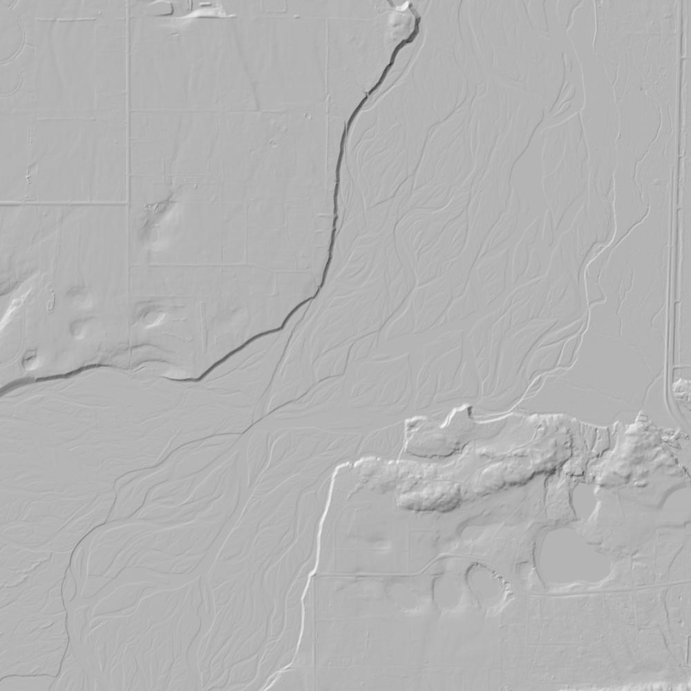
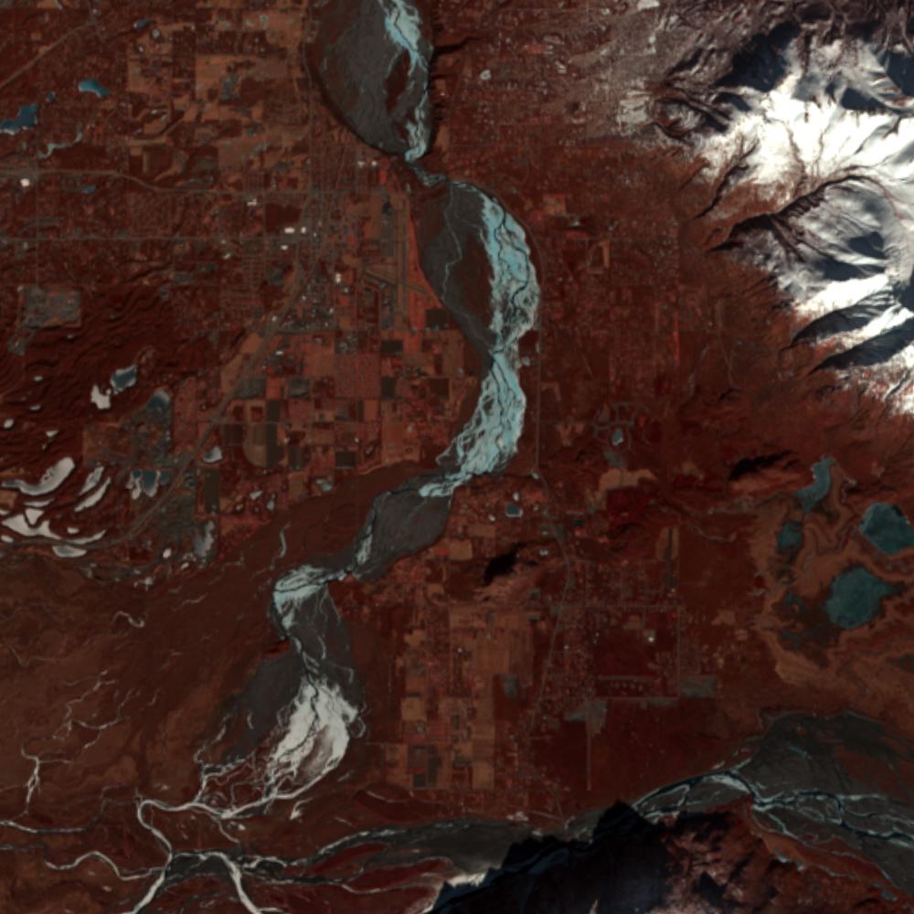
Aerial photographs, historical topographic surveys, lidar elevation, and ground imagery gathered for this place.

How to get more images
- USGS EarthExplorer (earthexplorer.usgs.gov, free account): Aerial Photo Single Frames, NHAP (1980–89, incl. color-infrared) and NAPP (1987–2007) covering this site. Medium-resolution scans download free; high-resolution film scans cost about $30 per frame (2–3 weeks).
- USDA FSA Aerial Photography Field Office (APFO, Salt Lake City): historic county-wide farm-program photos from the 1930s on, ordered by email/phone; scans run roughly $20–$50 per frame (check current price list).
- National Archives (College Park, Cartographic Branch): 1930s–1950s USDA/AAA aerials; free to view in person, reproductions through NARA's order service or approved vendors.
- Alaska State Archives and UAF Rasmuson Library; DGGS Elevation Portal (free lidar).
- HistoricAerials.com (NETR Online): stitched historic aerials and topos by address; downloads/prints priced per image (often about $30–$80 for personal use; commercial licensing extra).
- Commercial satellite (Maxar/Vantor, Airbus, Planet via resellers such as SkyWatch or Apollo Mapping): archive scenes from ~$10–$25/km² with small minimum orders; new tasking costs more.
- Drone flight: a local FAA Part 107 pilot typically charges about $200–$600 for a basic photo/video shoot of a parcel; ask the landowner or site manager for permission first.
This sample report was researched from public records and checked against its sources. Historical research, not title or boundary advice.
← All 50 states, places & stories · Original 50 Picks Archive · Start your own Land File