
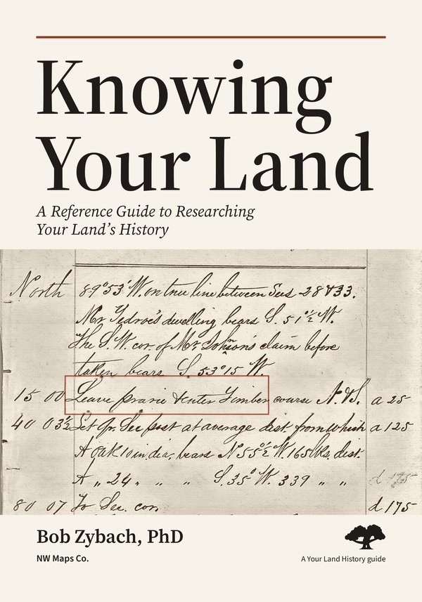
Knowing Your Land
A Reference Guide to Researching Your Land’s History
Bob Zybach, PhD
Learn how survey notes, maps, land patents, family records, aerial photographs, soils and rainfall each add to the history of a place. A 211-acre Oregon tree farm is the example in every chapter, with 62 figures showing the records and how to use them.
First edition, October 2026. This copy: version 1.1, October 10, 2026.
NW Maps Co. · Cottage Grove, Oregon
Contents
- The opening pages: foreword, preface and how to use this guide
- Chapter 1. Every piece of land has a story
- Chapter 2. Start with your place and your question
- Chapter 3. Find your legal description, tax lot and acreage
- Chapter 4. The four studies behind the approach
- Chapter 5. How the site Your Land History fits with this guide
- Chapter 6. The first survey: what the surveyor wrote
- Chapter 7. How the land left the government
- Chapter 8. Deeds, tax rolls and the chain of owners
- Chapter 9. Census pages, newspapers, journals and county histories
- Chapter 10. Buildings, cemeteries and place names
- Chapter 11. Maps and survey plats
- Chapter 12. Photographs from the ground, the air and space
- Chapter 13. Rock, soil and the shape of the land
- Chapter 14. Rain, rivers and the weather people remember
- Chapter 15. What grew there: plants, forests, fire and crops
- Chapter 16. The first people on the land
- Chapter 17. What you can see on the ground
- Chapter 18. What people remember, and what families keep
- Chapter 19. Putting the pieces together
- Chapter 20. Following change through time: roads, railroads and land use
- Chapter 21. All four kinds of evidence at once: the Oregon Coast Range
- Chapter 22. One tree farm from beginning to end
- Chapter 23. The same method in town and on the wheat plains
- Chapter 24. If you're hooked: what to do next
- Chapter 25. An Oregon directory of offices and websites
- Words used in this guide, references and picture sources
Pages from the printed book
About the author
Bob Zybach is a forest and wildfire historian. He earned a PhD in Environmental Sciences at Oregon State University in 2003; his dissertation, The Great Fires, follows Indian burning and catastrophic forest fires in the Oregon Coast Range from 1491 to 1951. He has been president of NW Maps Co. since 1994 and program manager of the Oregon Websites and Watersheds Project since 1996.
How to cite this book
Zybach, Bob. 2026. Knowing Your Land: A Reference Guide to Researching Your Land’s History. First edition, version 1.1. Cottage Grove, Oregon: NW Maps Co. YourLandHistory.org/books/knowing-your-land.
Using this book
Proposed reuse terms, not yet adopted. You may copy and share these books for any noncommercial purpose, as long as you credit the authors and do not change them (Creative Commons Attribution-NonCommercial-NoDerivatives 4.0). Some pictures belong to others and are not covered by these terms; Picture sources, at the back of each book, lists them.
Corrections and additions: drdavesullivan@gmail.com. Each correction goes into the next version, and the version line shows which copy you have.