
Chapter 7. The ground
Part 2. Reading your report.
"The ground" tells what the land is made of: the rock underneath, and the soil on top. The rock decides the soil, and the soil decides what grows and what can be built.
What it says. The rock under the land, its age in plain words, and the soils with their farming ratings; at Deep, every unit on the maps.
Where the facts come from. The Oregon Department of Geology and Mineral Industries' statewide geologic map compilation, the U.S. Geological Survey's state-scale geologic map, and the soil survey of the U.S. Department of Agriculture's Natural Resources Conservation Service.
What to notice. A map unit has a name, such as "Peavine silty clay loam, 3 to 30 percent slopes," and a short code, such as "55D." The soil survey rates each soil for farming: prime farmland, farmland of statewide importance, or not prime. The geologic map and the soil map were made separately and at different scales, so their lines do not match exactly.
If the part is folded. "The county's geologic and soil maps cover this land; the details are in the appendix."
In the sample report
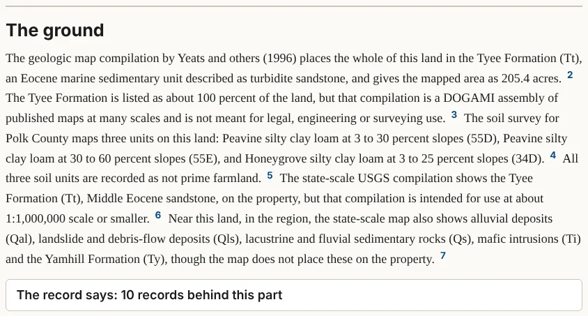
The geologic map places the whole farm on the Tyee Formation, sandstone laid down under the sea in the Eocene epoch. The soil survey maps three soils on it, two Peavine silty clay loams and a Honeygrove silty clay loam, and rates none of them as prime farmland.1
Notes
- Oregon Geologic Data Compilation, release 6 (DOGAMI); NRCS soil survey, Polk County; as given in the sample report, retrieved October 2026. ↩